Road trip Iceland: Day 12 (Around the Snæfellsnes peninsula)

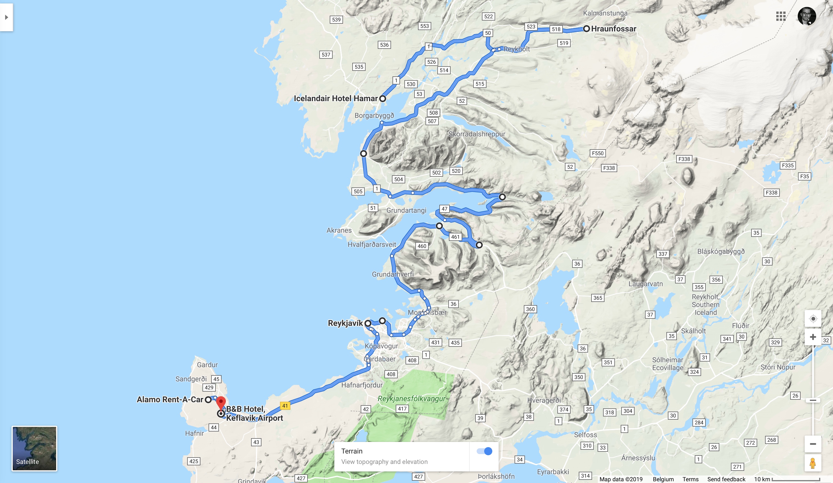
We had to get up way too early and have breakfast already at 8, because our schedule was once again quite full for the day. By half past eight we were finished and ready to go. Our first destination was waiting for us a good two hours ride further to the West.

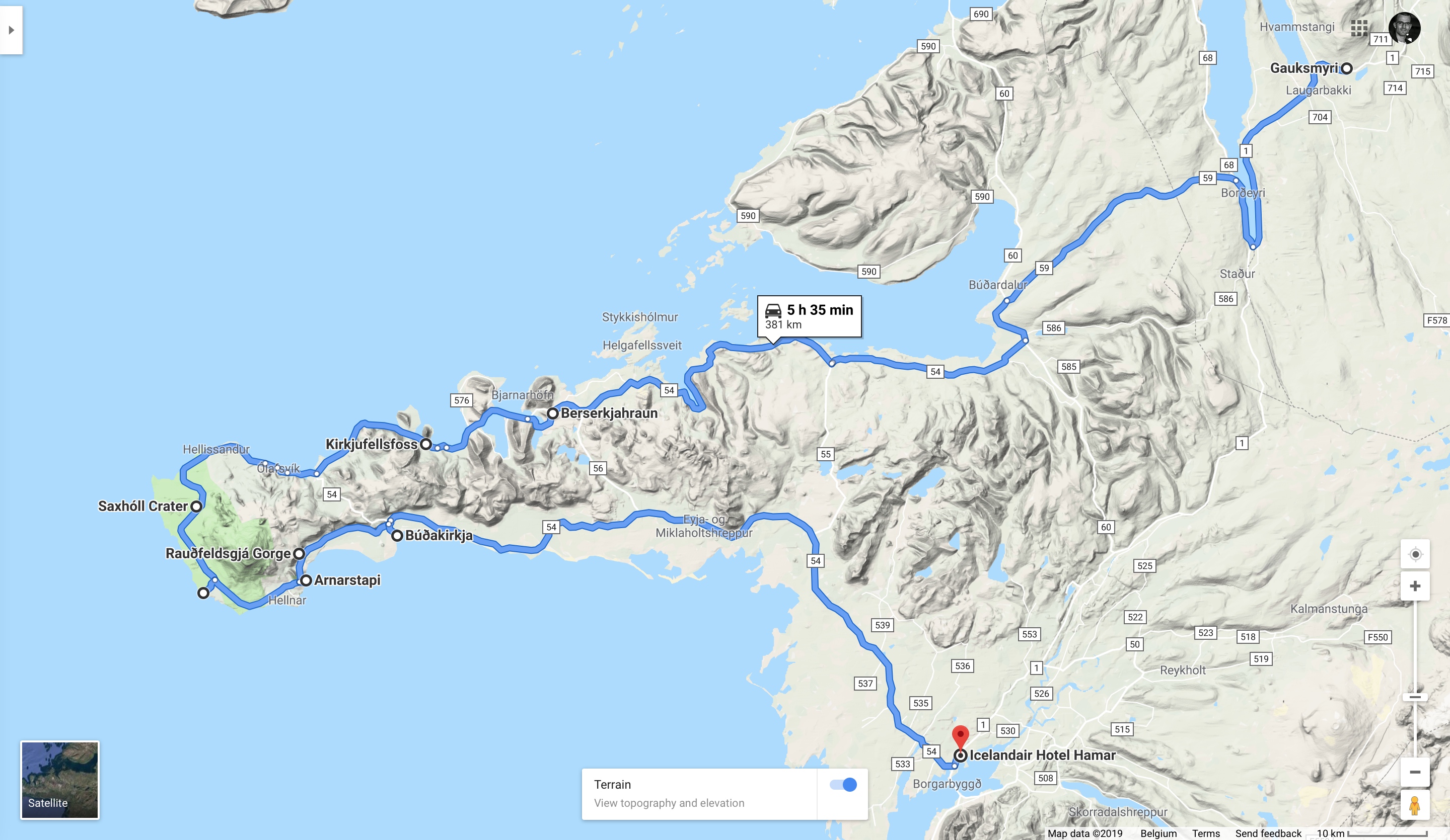
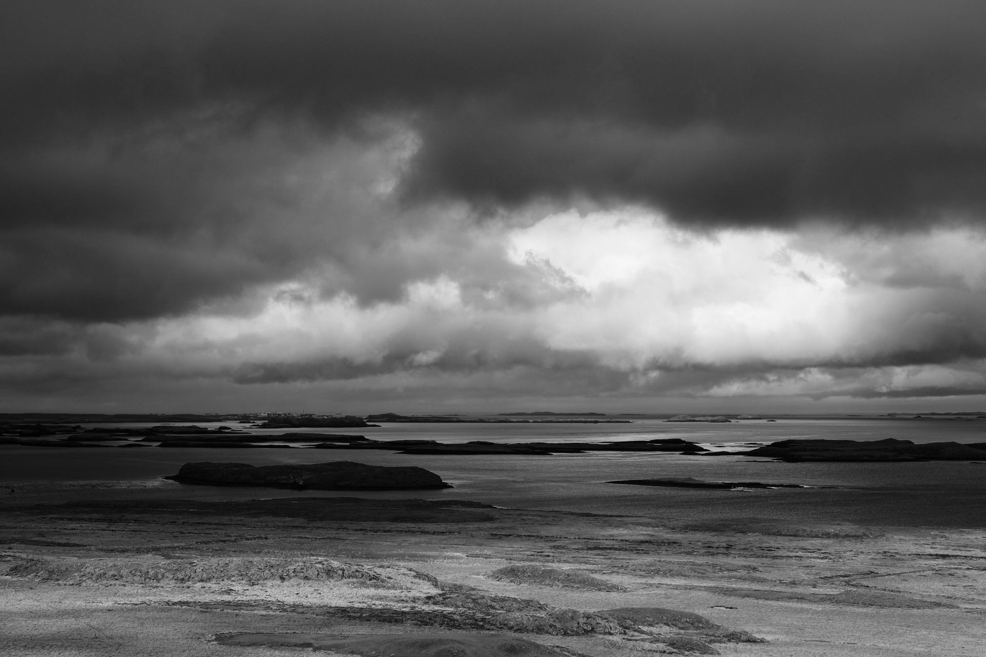
First we crossed some low grasslands, then while curving around the Southern end of the Hrútafjörður (with scenic views to the fjord, and multiple sighting of rainbows in the changing weather) we left the ring road behind and continued over road 68 and 59. The latter (mostly gravel) took us over to the other side of the peninsula which marks the Southernmost borders of the Westfjords – a region that we could not fit into our schedule this time (mainly because there was a chance that the two gravel passes along the route would not be open yet, as these are not kept clear of snow during the winter). Only a few minutes of asphalt followed on road 60 and road 54, before the latter turning into gravel for the following 60 km… I was quite glad that we had a 4×4, because while it would have been doable in a normal car, there were way too many holes scattered across the slippery surface, making the drive demanding enough in a 4WD. Luckily most people seem to have preferred the same counterclockwise direction around the Snæfellsnes peninsula, because there was basically no traffic in the opposite direction (on the otherwise not too wide road). We stopped on the way at a higher lookout point (catching a sunny interval between the low hanging clouds), that provided a nice panorama towards the small islands to the North.
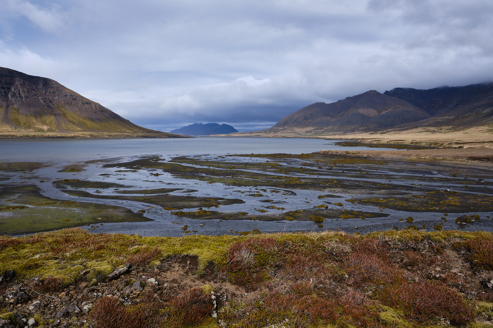
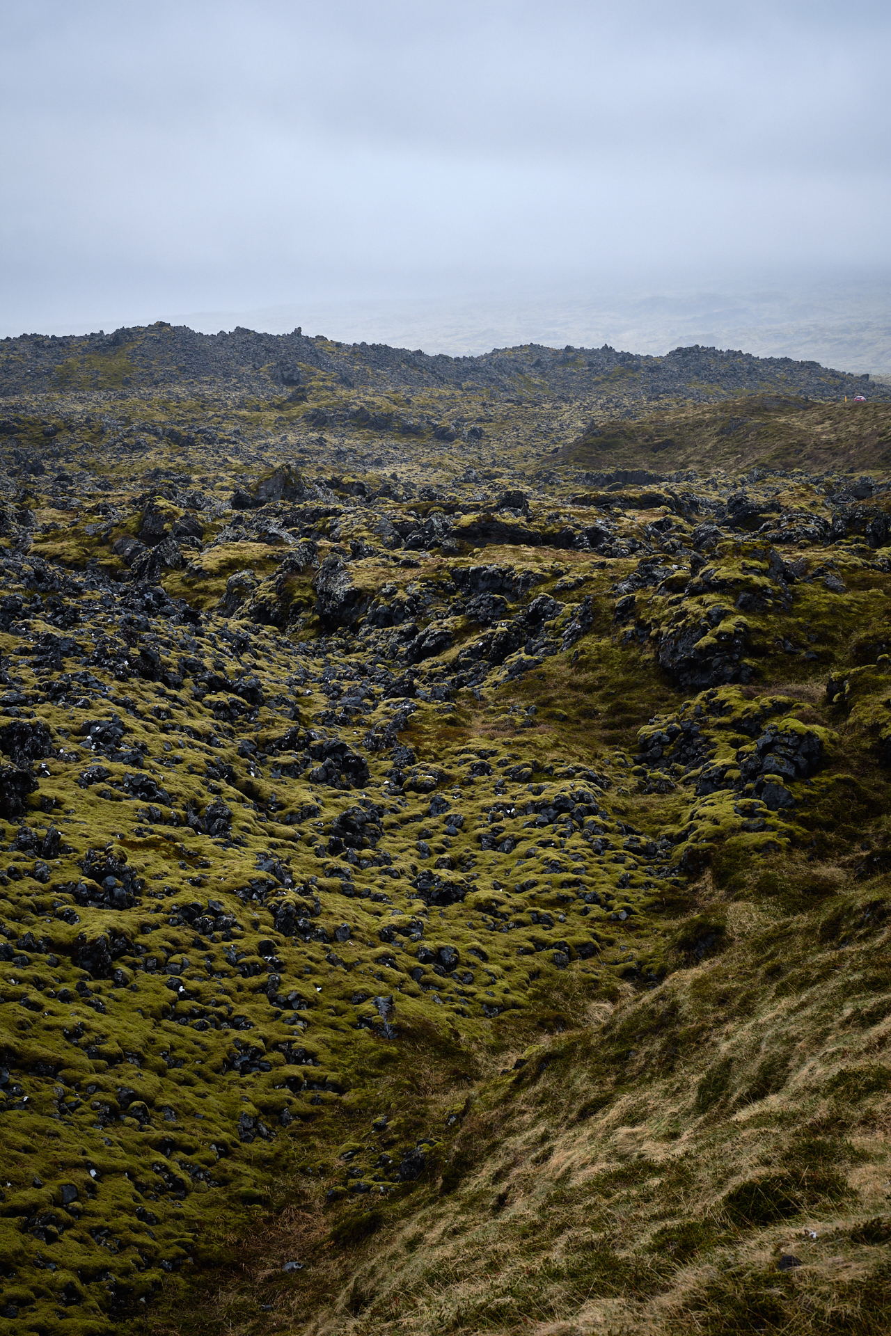
The whole drive was really pretty, we could have stopped anywhere to take beautiful photos – I especially liked the loop around the Álftafjörður, with views to the mountains above the narrow fjord. The road surface became asphalt again when we reached the crossroad to Stykkishólmur, but we had no time for visiting that fishing village. (By then the car “finally” got covered in mud, albeit a very thin layer – more of a spray of dirt -, so it started to look as a car should after so many days of driving around in Iceland.) I bit further down the road (just before reaching the Hraunsfjarðarvatn) we made a small – completely unmarked – detour to the left into the (green) lava fields, which was quite pretty (and I was excited to be there), but as it turned out there were similar landscapes along the road later too…

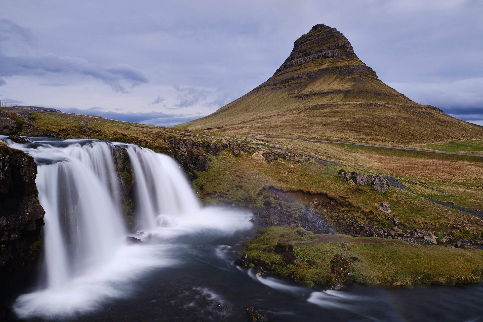
Showers were coming and going the whole day, and at this point I was quite concerned about getting soaked at the Kirkjufellsfoss, but miraculously it stopped raining at the very moment when we arrived to the parking stop, and it stayed dry long enough for me to take the most cliché pictures one can make on Iceland. It does not mean it was not beautiful though. Because it was. I used my tripod and the neutral density filters once again to be able to take long exposure photos of the scenery (typically 4-6 second exposure times at f/11 and ISO 160) . Luckily I knew well in advance that I would spend a lot of time here, so I had planned an extra half hour even on top of the usual amount in the schedule.

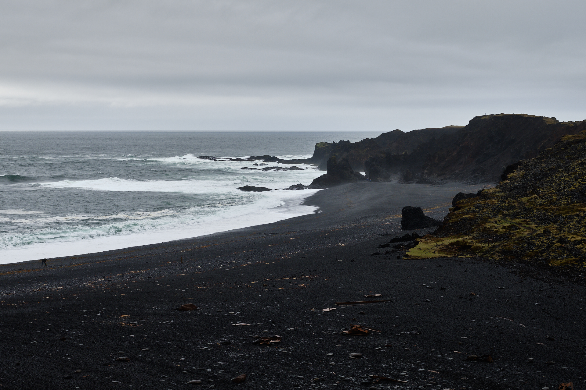
We got back inside the car around quarter to one. Our next stop – after a short drive – was at the N1 of Ólafsvík, where we got the usual delicious (and cheap) fish and chips for lunch. Petrol station food is a holy saviour on this island. When we left it was raining again, so even though we drove to the (not too well marked) parking area under the waterfalls of Kerlingarfoss and Svöðufoss, we decided that it was better to skip these (not only because it was way too wet for a nice walk, but also because we had seen enough waterfalls by then). It was still quite wet when we arrived to the Saxhóll crater (a small and compact, but prominent volcanic cone), but we still climbed it (on a long, metal staircase). Unluckily we could not see the peak and glacier of the Snæfellsjökull which was hiding behind the clouds the whole day. Another short drive further, around half past two we arrived to the beach of Djúpalónssandur. The road to this parking cut through bumpy, green and yellow moss-covered lava fields, while the path to the beach descended between interesting, tall rock formations.

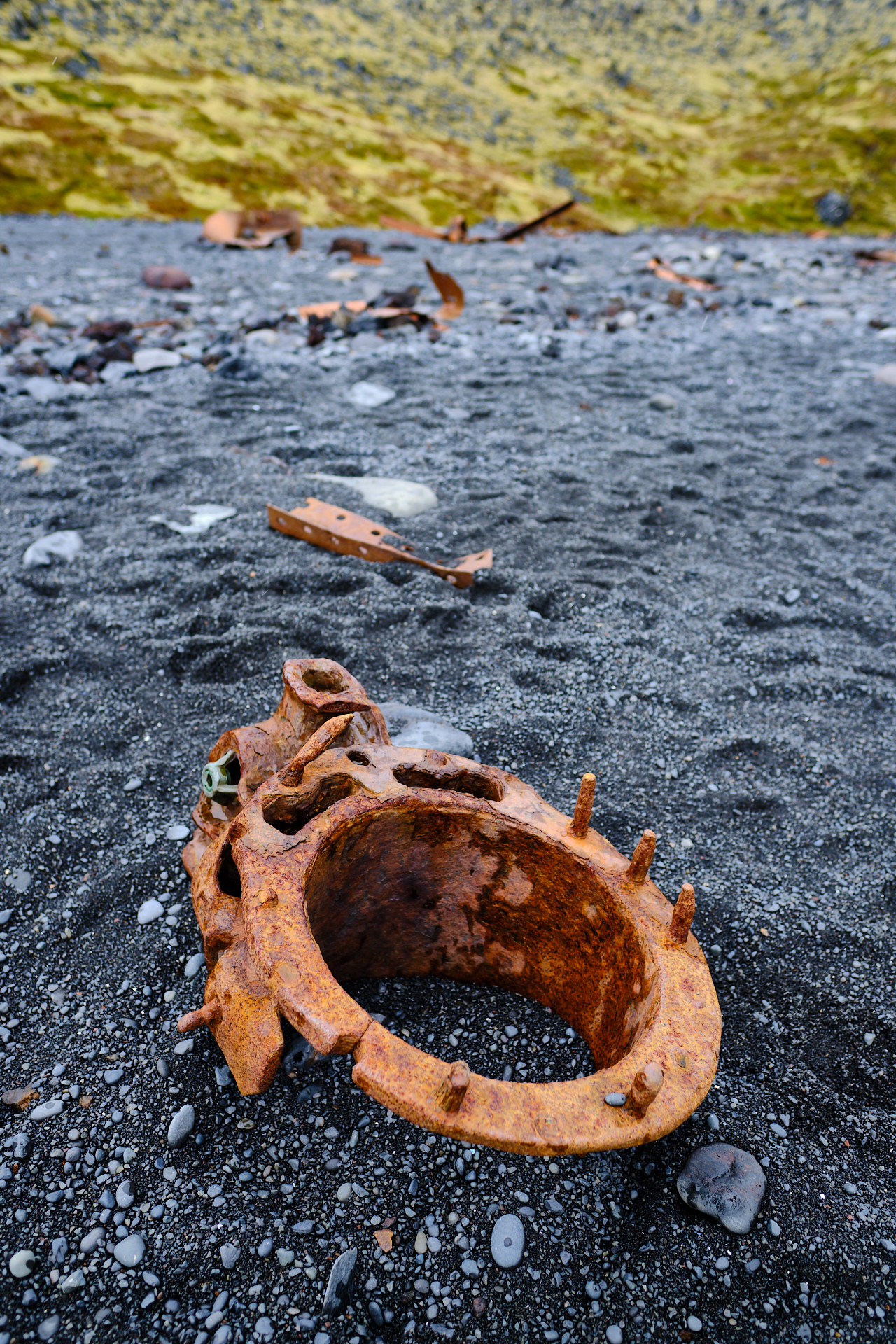
On the black beach itself the sea was rough and loud, and rusty pieces of two shipwrecks were lying everywhere – great scenes for a photographer.

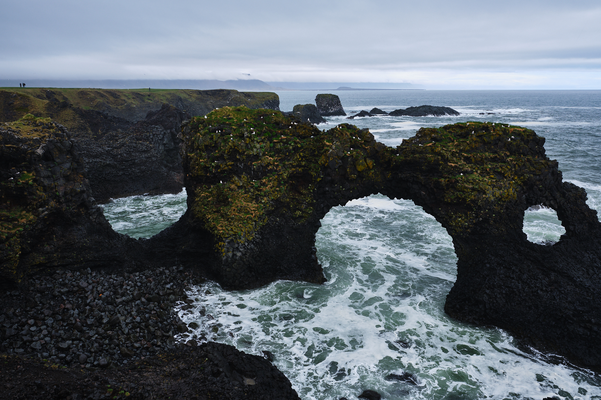
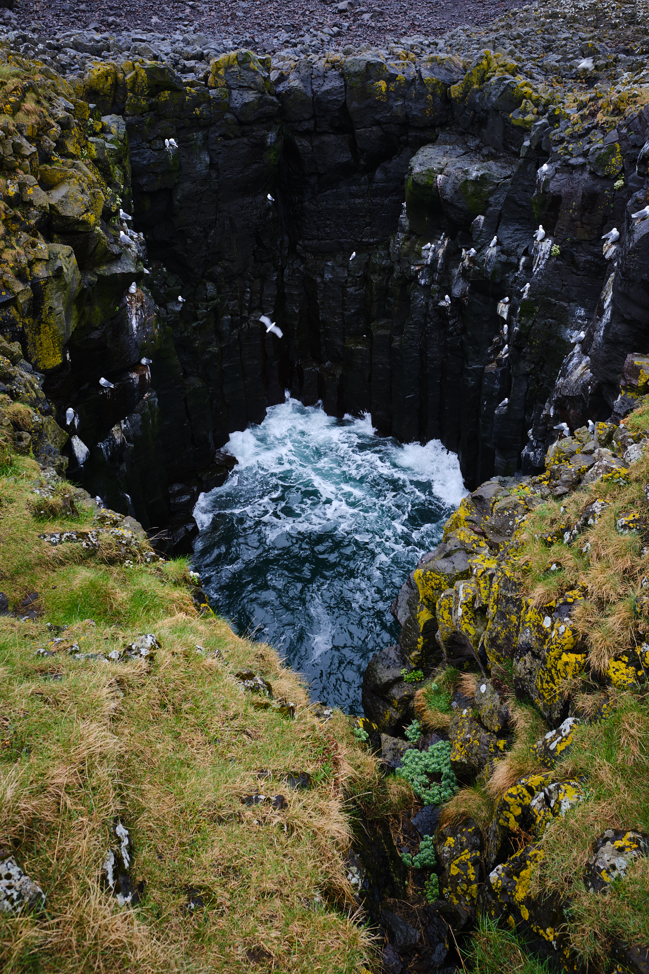
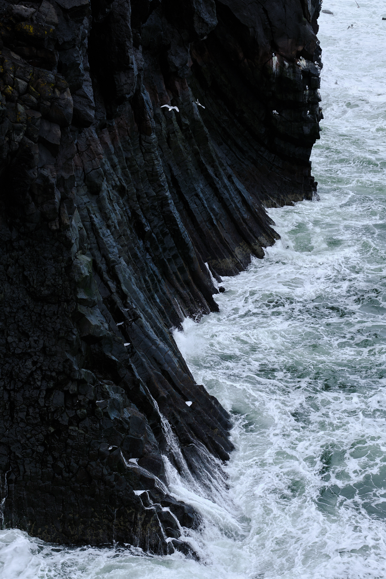
The next destination – the rugged coast of Arnarstapi – was again only a few kilometres further. Here we did a relatively longer (almost an hour long) walk along the edge of the cliffs, most memorably also to the edge of a circular opening lined with basalt columns reaching down from the surface to the sea below, providing a safe and protected nesting location to a few birds. The same basalt columns lined the whole coastline though, so there was definitely no shortage of them.

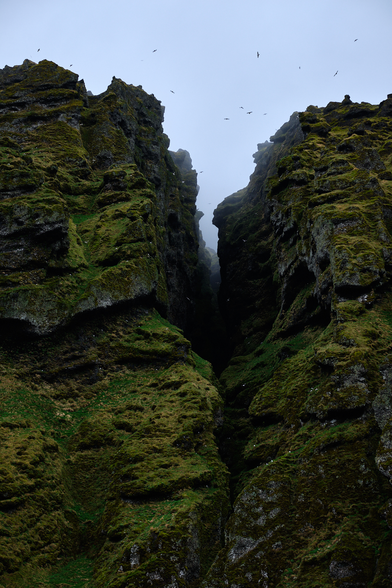
The next item on our sightseeing list was the Rauðfeldsgjá ravine, probably the most interesting geographical feature of the day. It is a very tall but narrow opening curved into the cliffs East of the Snæfellsjökull, and with flocks of birds circling above the dark opening it gave both of us the perfect Jurassic Park vibes. A short walk took us up to the entrance of the canyon from the small parking area, and we could even walk a few meters inside (navigating over rocks in the small stream flowing out from the darkness), but it was way too claustrophobic for me there to stay for too long.

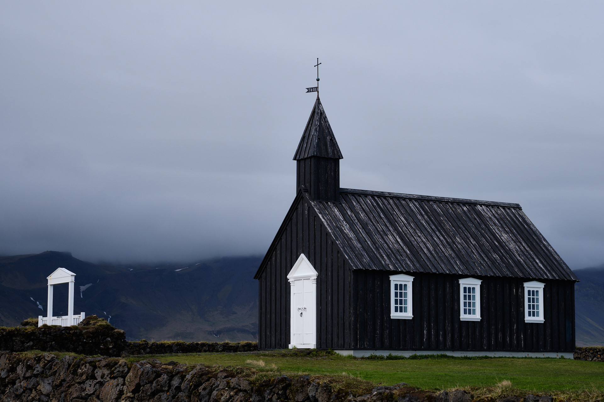
Finally, fifteen minutes from here we made a last stop at the Búðakirkja, a black church standing near the edge of a grass covered lava field. With the backdrop of the mountains of the peninsula, it was a really nice place for a short break.

It was already half past five when we left here, and there was still a lot of driving (~100 km) to do… This was one of the most tiring sections behind the wheel for me during the road trip, and after the first half hour I could not really appreciate the scenery that much anymore (I was much happier about the 5 minute stop we made at a random tank station), as I just wanted to be at the hotel. It must have been seven by the time we checked in (Icelandair Hotel Hamar), but luckily we had planned having proper dinner in the restaurant of the hotel for once, so the rest of the evening went much smoother. The food was good and the view from our table was really nice, overlooking the golf course, with mountains and a rainbow in the distance…

Road trip Iceland: Day 11 (The land of sheep, and rocks)

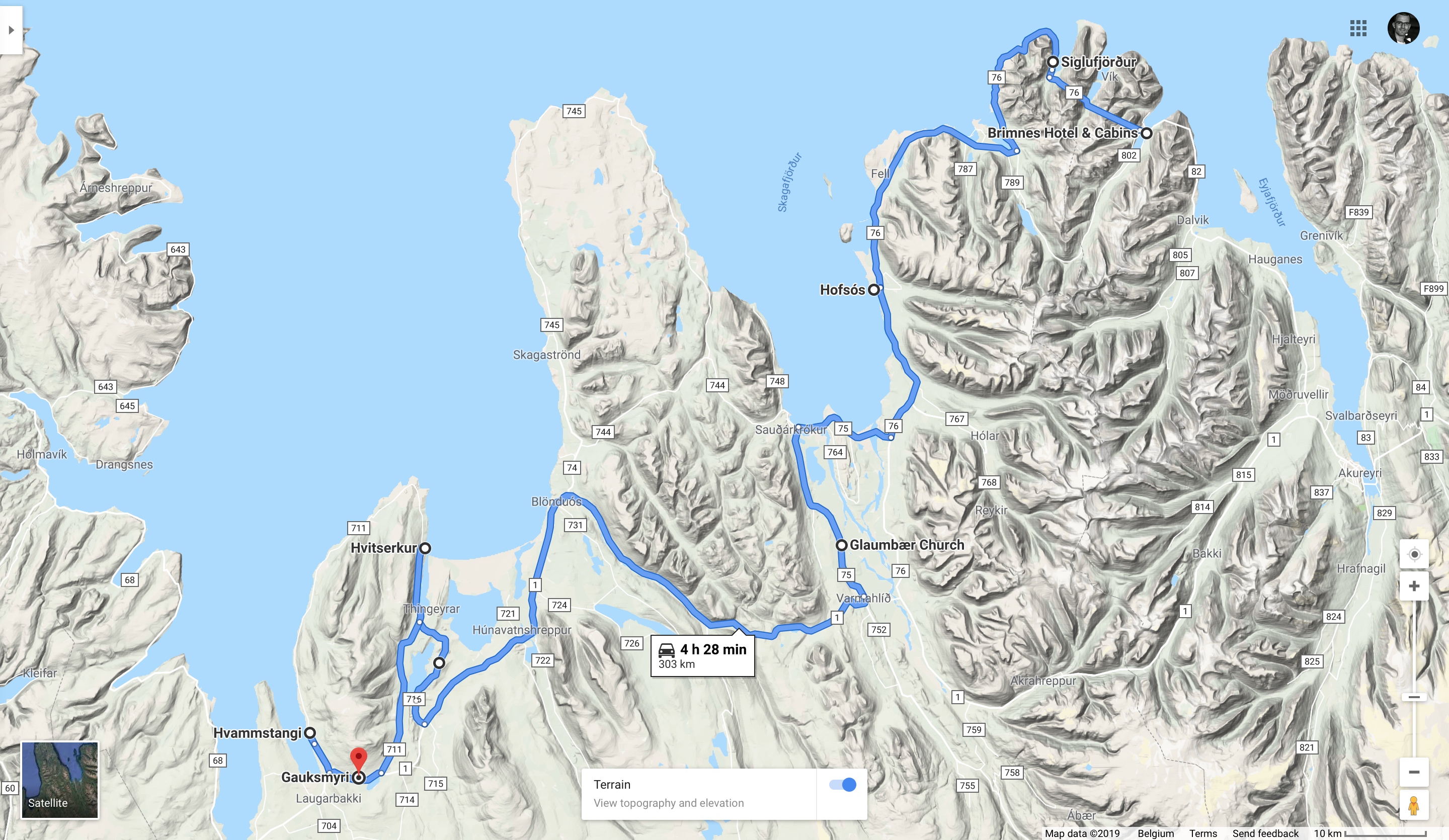
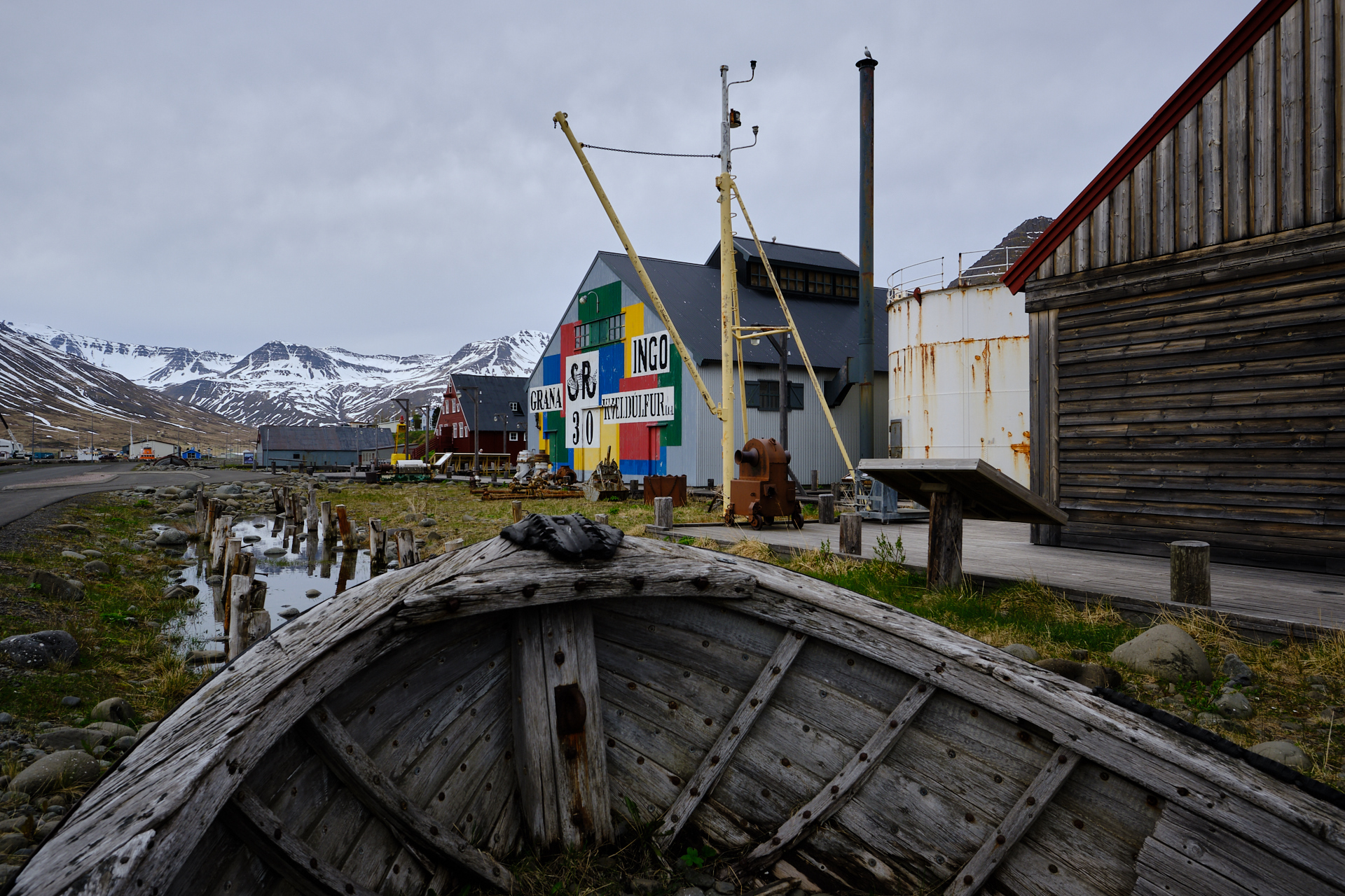
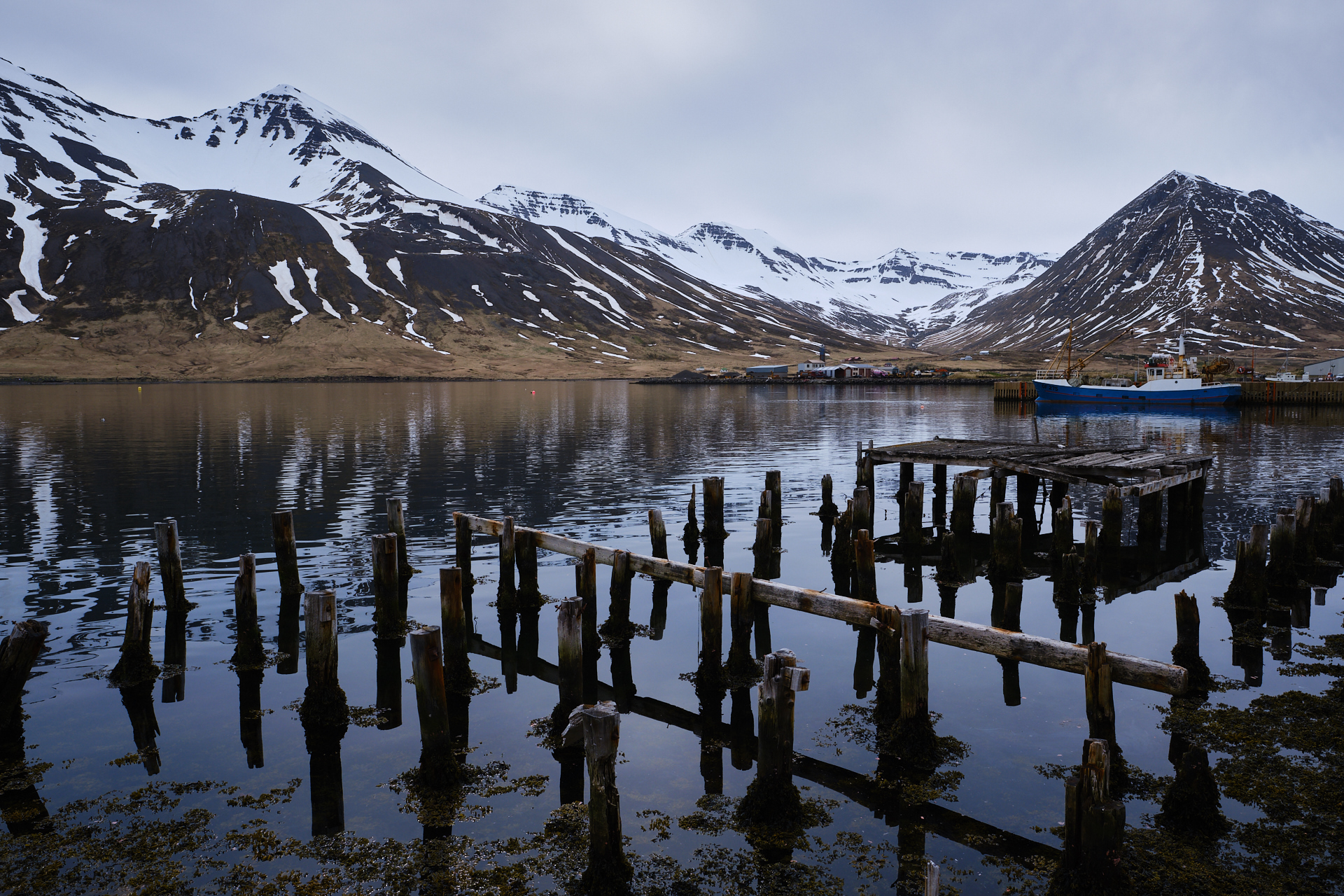
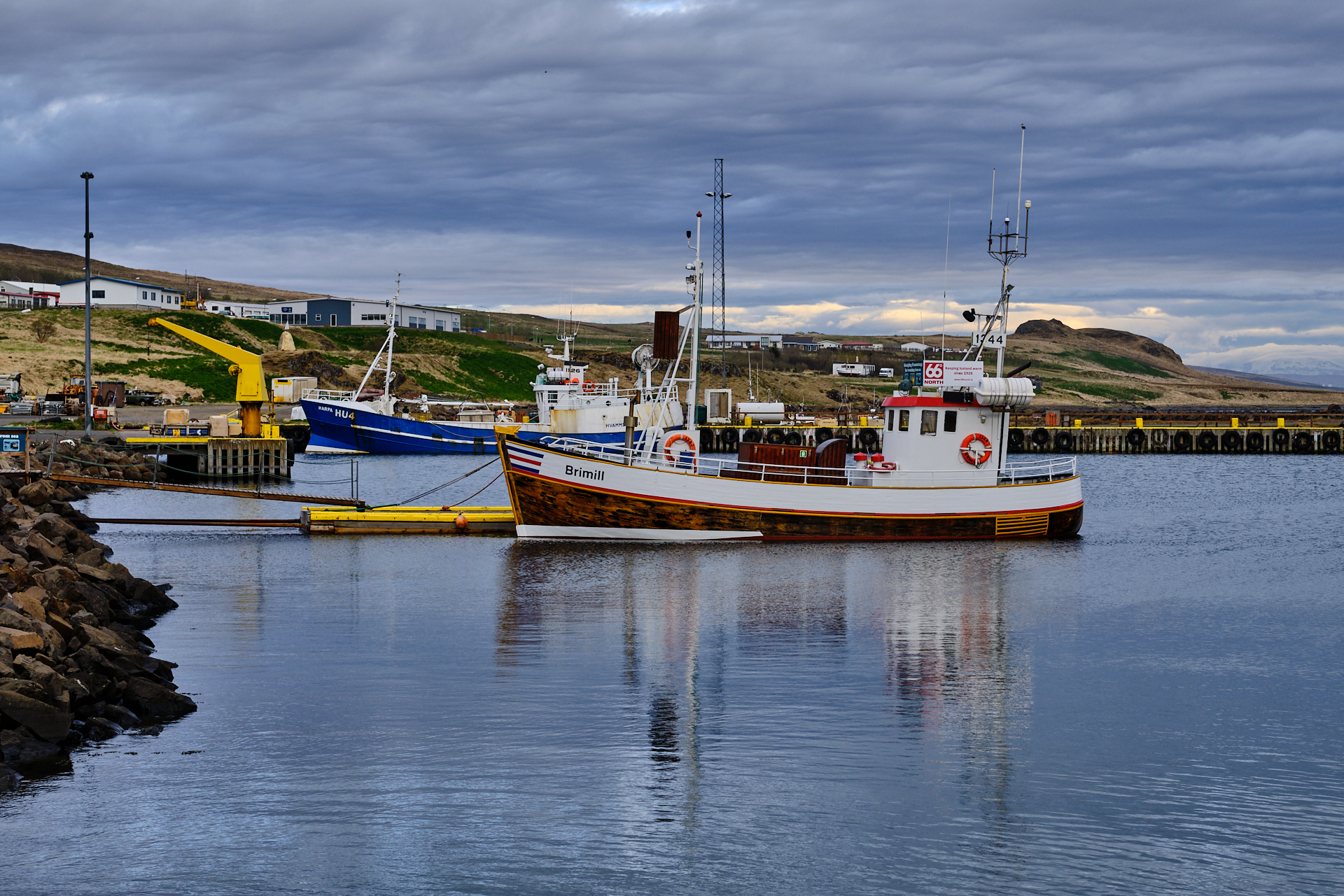
We started the morning by walking from our cabin to the hotel for breakfast, sadly under grey skies, in strong contrast with the sunshine from the day before. After food we jumped into the car and drove through another extremely narrow tunnel to the next fishing village, Siglufjörður. (Actually my original plan was doing a shorter hike in one of the nice valleys, up to a small lake from the Skeið lodge, but as the weather was not really nice, and we were also quite tired, we decided to skip that.)

I spent quite some time trying to capture the atmosphere of the harbour and the colourful houses along the water, but it was quite a challenge given the difficult light conditions. Maybe the lady who was painting the landscape – sitting on one of the rocks along the shore – found capturing the moment easier.

A half hour later we drove further, following road 76 along – and mostly high above – the coastline. The flow of the winding asphalt ribbon was occasionally broken by a few hundred metres of gravel, keeping us (or at least me) well awake, and making the drive quite demanding on the senses. After an hour we arrived to the village of Hofsós. There are two things here that are worth checking out: the open air swimming pool overlooking the fjord, and the basalt columns along the beach just under it. Since this is definitely one of the lesser known parts of Iceland, there were no crowds here like at the beach of Vik. We had plenty of time, so I set up my tripod and used my filter system to make some long exposure photographs too.

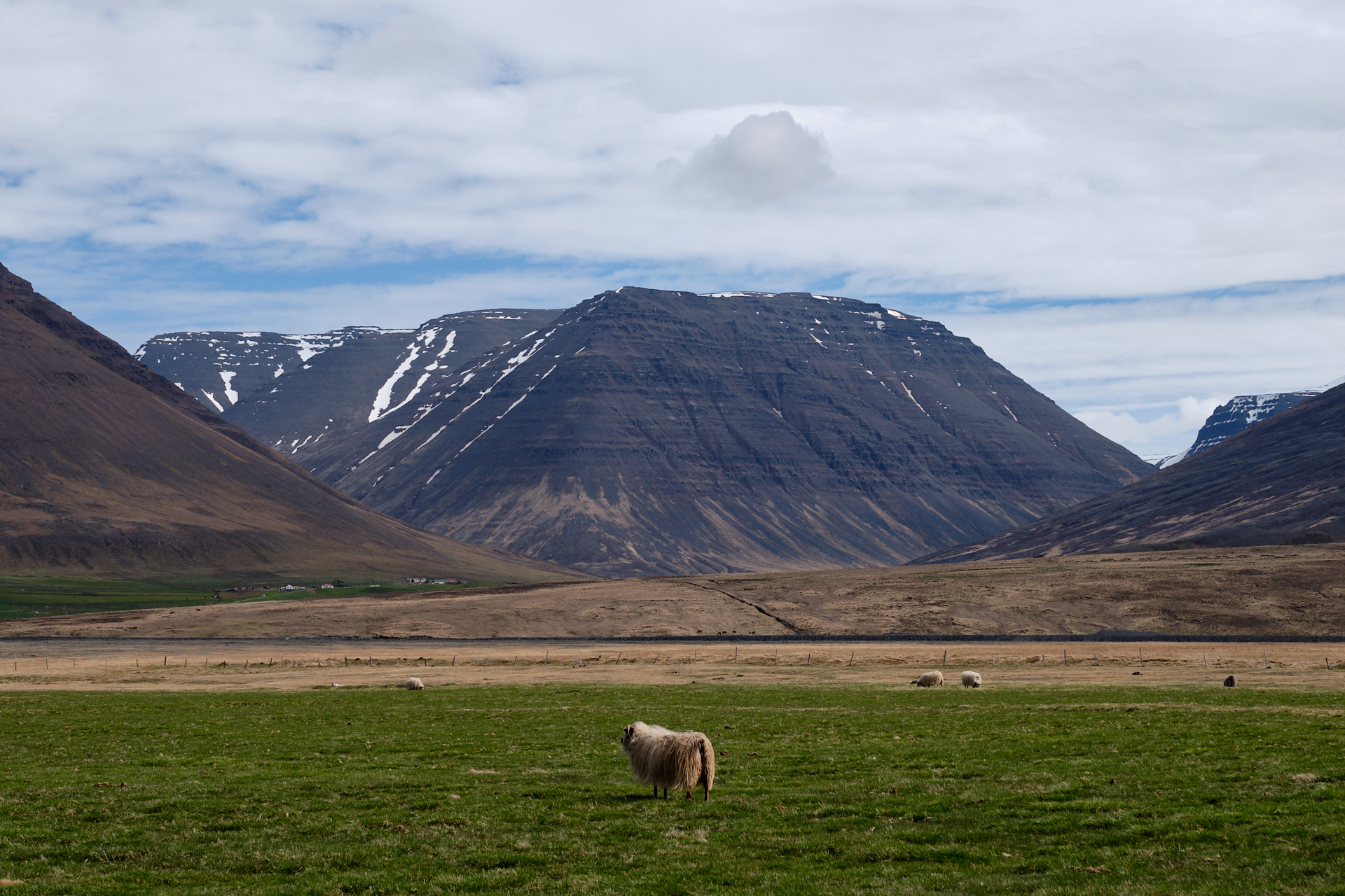
We drove further around half past noon (having spent almost an hour at the basalt columns), and soon entered the realm of sheep, as we left the rugged mountains behind, and the landscape opened up as the valleys got wider and flatter. There were farms with fluffy sheep everywhere, and it was definitely the right time of the year for seeing plenty of lamb amongst them. (So, damn, cute!)

At one point we made a right turn onto road 75, that took us over two wide branches of the same river, coming from the highlands. Our next longer stop was at Glaumbaer. This was another place with old turf houses and a small church, similar to what we had seen the day before, but with a welcome addition of an old tea house. Even more welcome were the cakes and the coffee that was served inside, and the sunshine that finally managed to show up just as we got out of the car ;)

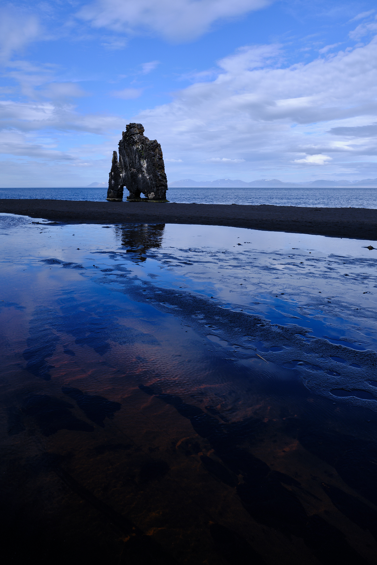
After “lunch” we made it back onto the ring road, and continued Westwards. I cannot recall much of this section anymore, but I remember very well what followed. At one point we left the smooth asphalt for a dusty gravel road (#716-717), which took us to a small lake first, then it climbed over a rocky hill that had some ruins on the top (we did not stop though). Finally we ended up on road 711 (still gravel), driving a few more kilometres further North until reaching the parking area above the beach of Hvitserkur. While we came here for the famous elephant-shaped (or rhinoceros, if you wish) rock formation, we stayed for the beach itself.

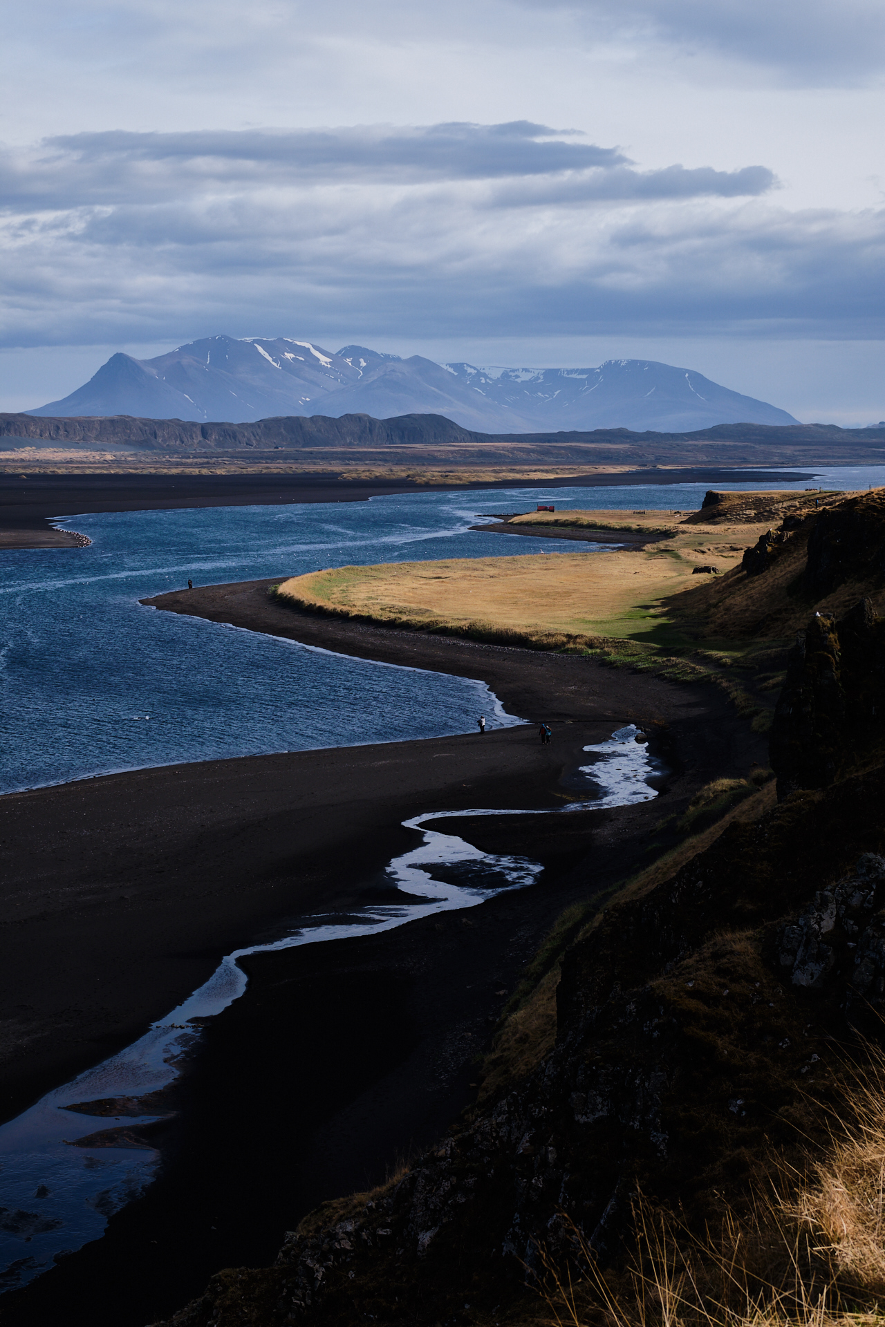
There is a narrow, steep path down to the shore from the parking area, providing beautiful views to the beach below, and to the dark sandbanks, grassy fields, and mountains in the background. The lights were quite good when we arrived here, creating a nice contrast between the black sand, the deep blue waters, and the vegetation coloured golden by the evening sunshine.

There were even some seals near the shore – to Clio’s delight (even though they did not want to play with her no matter how hard she tried to lure them somewhat closer). At the end we spent around an hour here, so our schedule caught up with us after all, even though we had skipped a hike in the morning… It still took quite some slow driving on the gravel road (#711), before we got back on the ring road, but then only two more kilometres to reach our guesthouse for the night (Gauksmyri Lodge).

After checking in we still drove to the closest village – Hvammstangi – for dinner (we had very nice Italian food in the restaurant above the Icelandic Seal Center, overlooking the fjord), before calling it a day. (It was past nine by the time we made it back to our room…)

Road trip Iceland: Day 10 (Zigzagging across the sunny North)

This was definitely our warmest day on Iceland, with official maximum temperature measurements around 18-19°C in the afternoon (while the thermometer of the car showed values even in the low twenties), and perfectly clear blue skies – except for some nice cirrus clouds – throughout the day.

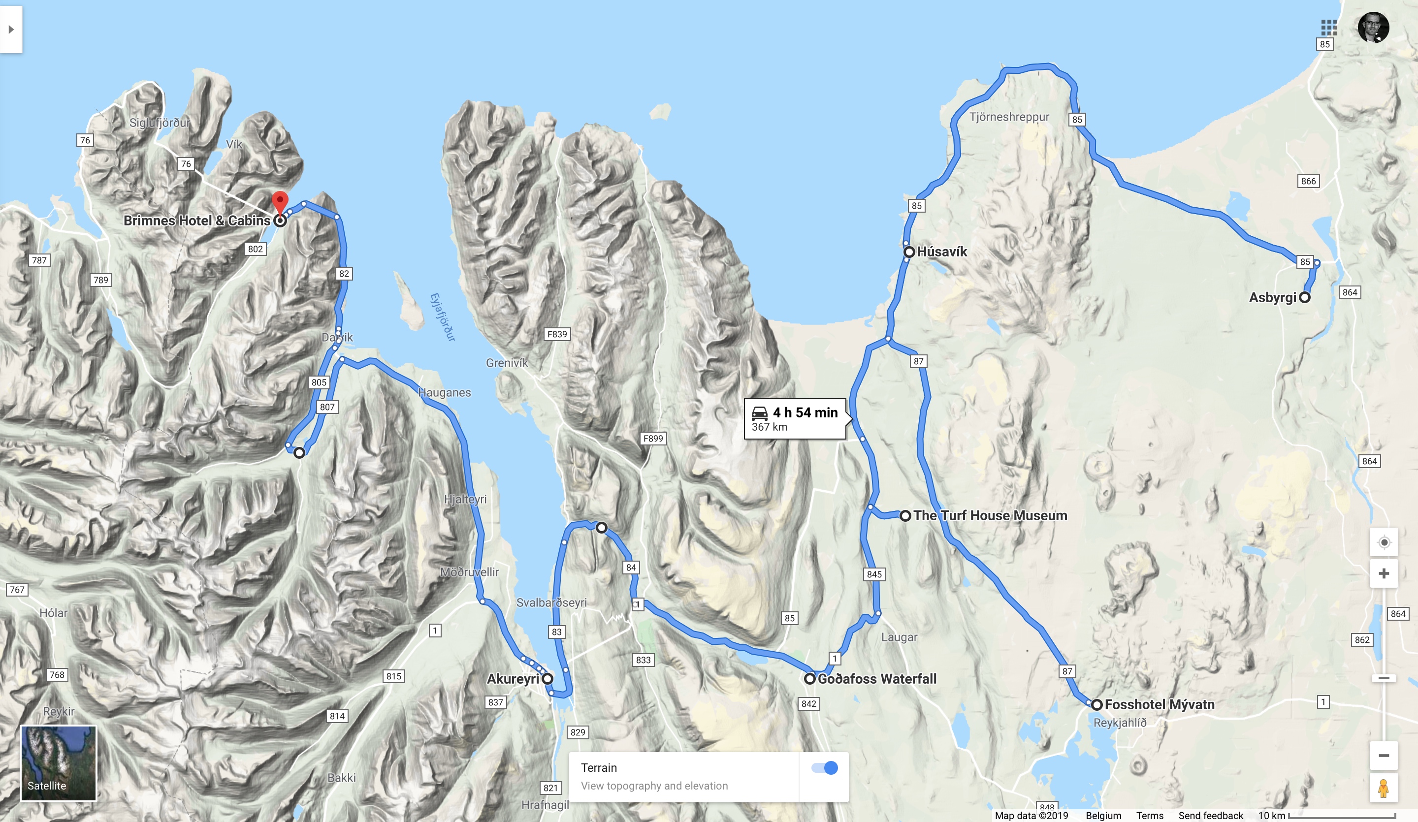
After an early checkout we headed to the local petrol station first to get some breakfast (and fill up the car), before starting the drive up North. Since it was going to be another long day with quite some driving, we had to leave in time, so by nine we were already on route 87 heading towards Húsavík. Roads 862 and 864 were still closed, so we had no other option than driving this way. We did not stop in the “city”, but continued further on Road 85, passing by the Northernmost point of our road trip (at an otherwise unremarkable curve along the barren coastal road) at a latitude of 66.2° (just short of reaching the polar circle, but still 3.5° higher than on our Norwegian road trip a few years ago).

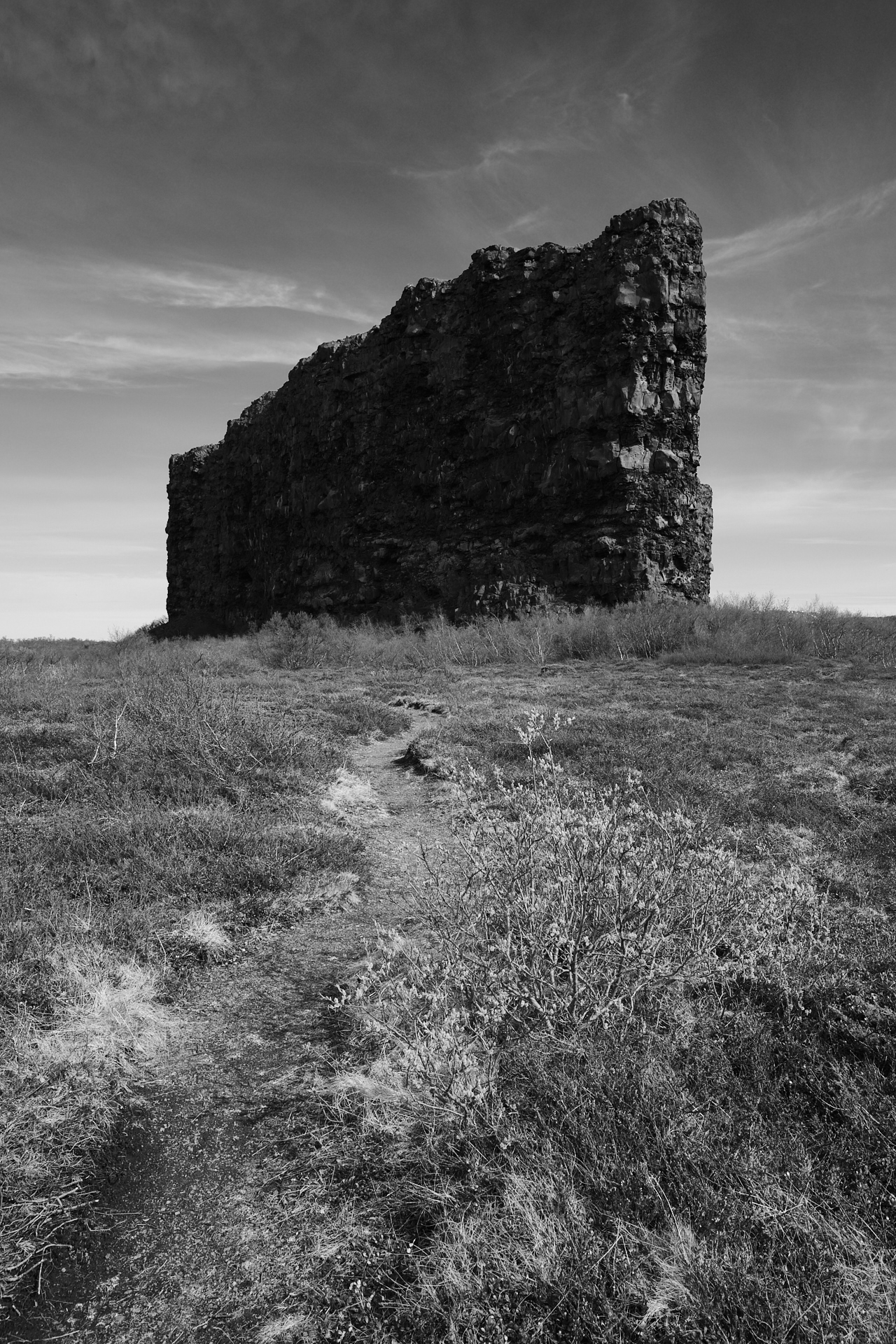
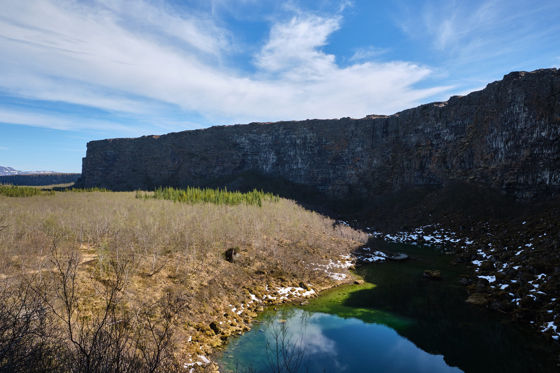
Around 11 we arrived to the Ásbyrgi canyon. This forest-filled U-shaped depression is believed to be formed by either Odin’s horse, or by a catastrophic glacial flooding of the river of the waterfalls (Dettifoss and Selfoss) that we had visited two days earlier (which nowadays follows a new course a few kilometres to the East) – our pick is definitely version A. The more or less flat central section of the canyon is surrounded by 100 meter tall steep rock walls, creating a natural stadium. The depression is not complete, a long wedge shaped island still stands intact running across the centre along the Northern half of it.

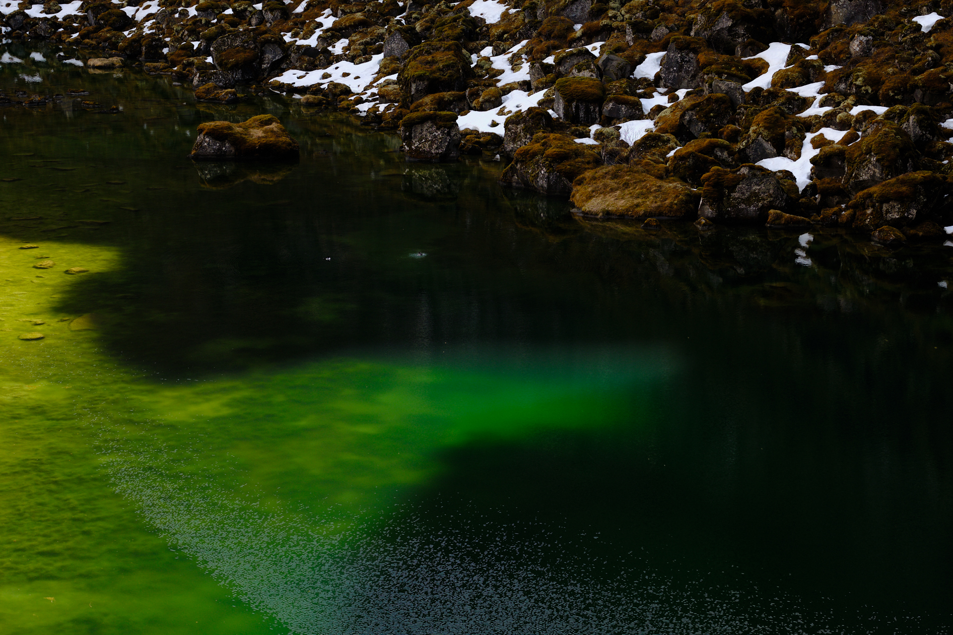
We did a small walk to the Southern end of the canyon, down to a crystal clear lake and up to a lookout point at the foot of the stone walls. While it was still cold down at the water, it was definitely T-shirt weather out in the sun.

From here we drove back the way we came to Húsavík (BTW, this is the place for whale watching tours, but we had no time for that, and Clio is not fond of being on a small boat anyway), where we stopped for a quick fish and chips at the N1. Still cheap and still delicious. After the lunch break we drove further South (road 85 and 845), to the next stop, the The Turf House Museum.

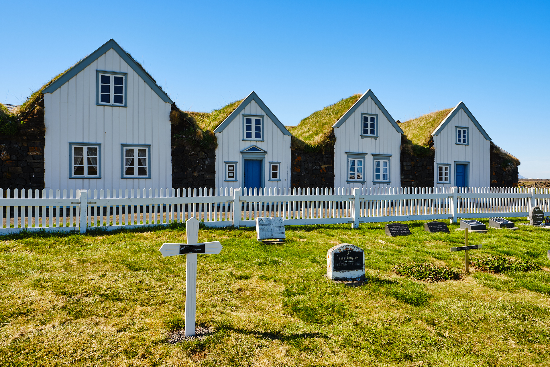
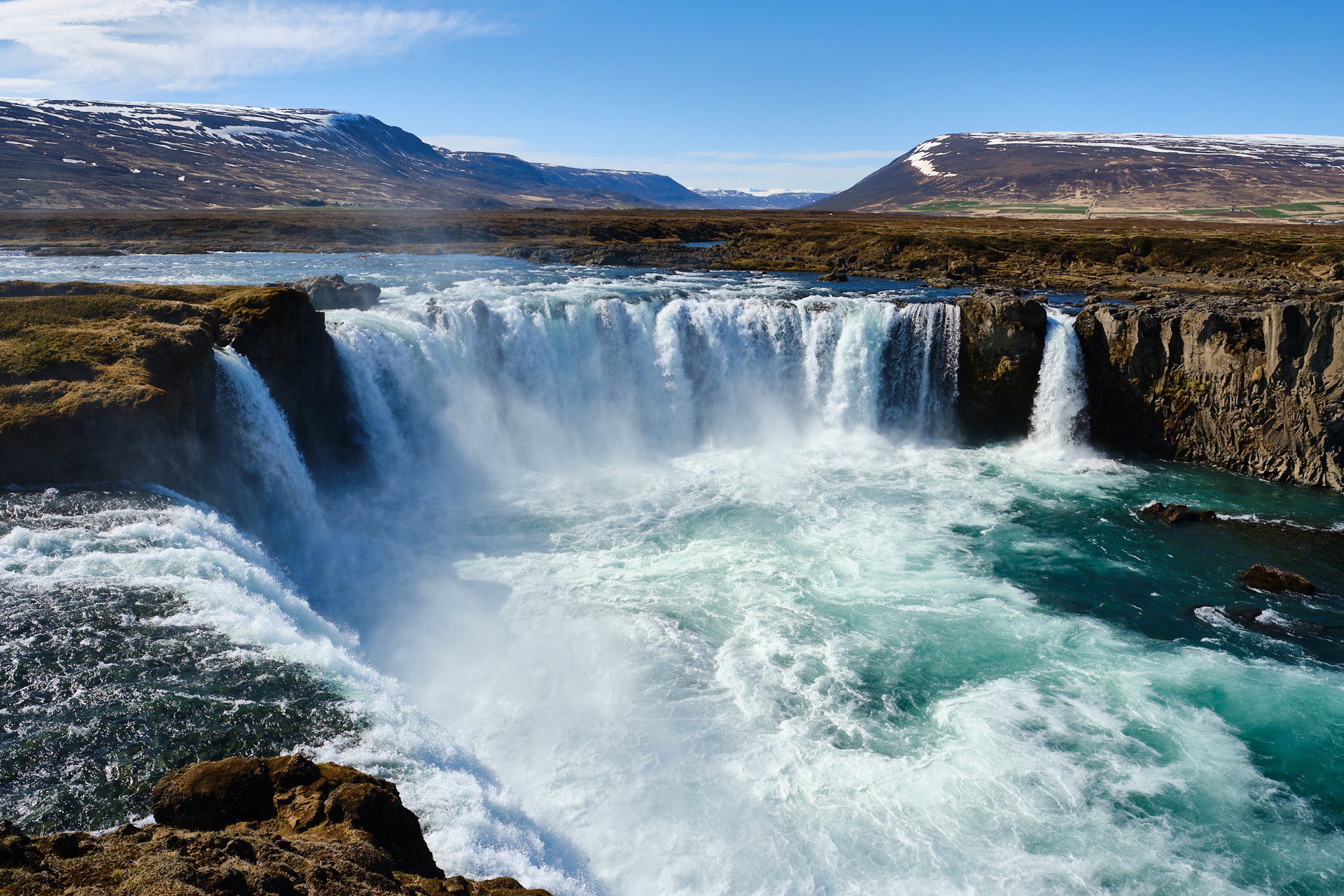
The small wooden church and the grass covered houses are worth a small stop, but nothing more than that. Not far from here we got back on the ring road, and soon we arrived to the next waterfall on the list, the Goðafoss. After a short walk along the Southern shores of the river, we continued our journey Westwards.

Instead of taking the tunnel directly to Akureyri, we made a short – but scenic – detour to the North, following road 84 over a smaller mountain pass, and then road 83 along the Eastern shore of the Eyjafjörður. Afterwards we spent an hour walking around the colourful houses of Akureyri, but since it was still a bit too early for dinner, we decided to just keep driving towards our hotel.

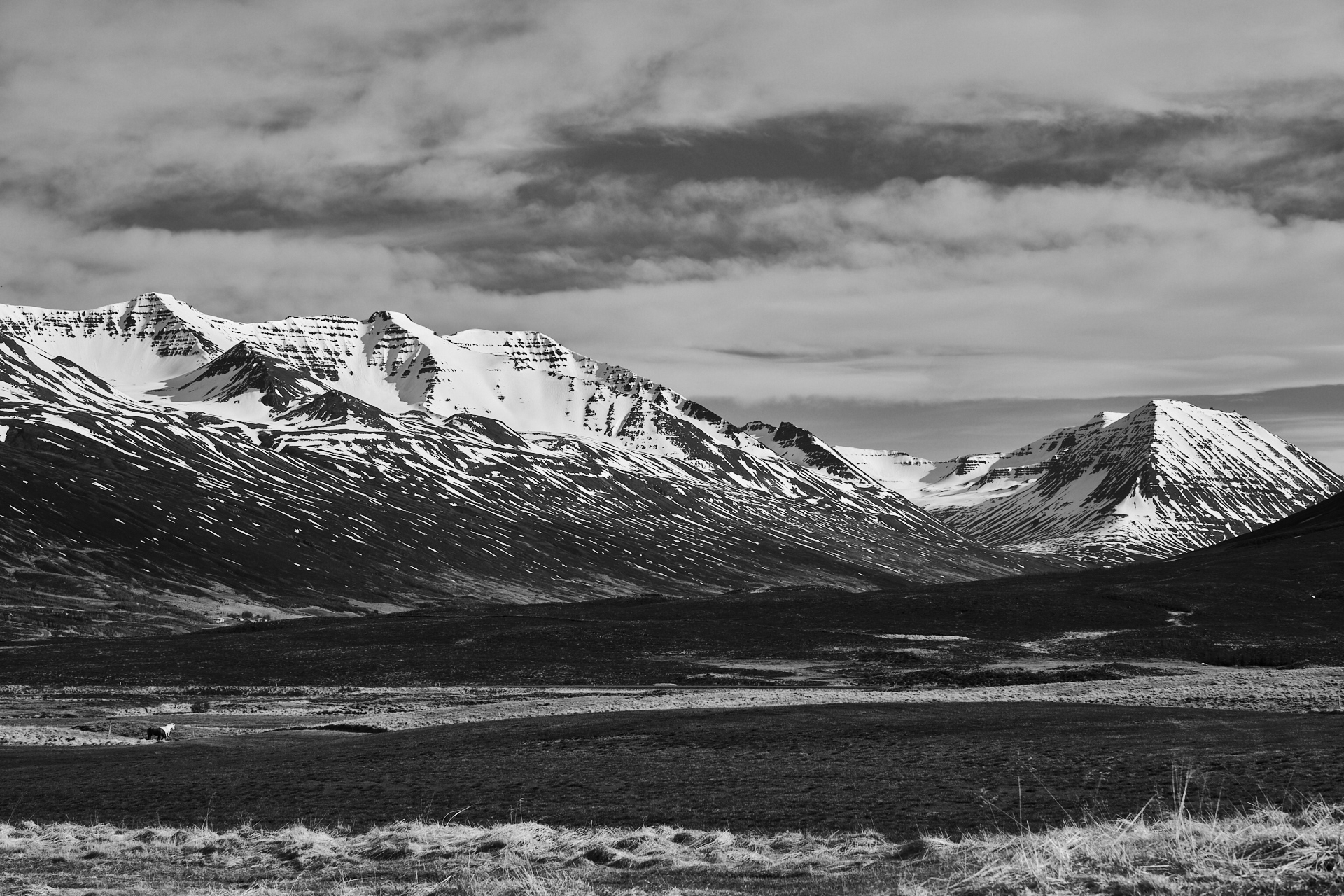
We left the ring road once more, following road 82 to the North. We were driving at the feet of real mountains again, as this central Northern part of Iceland between the fjords of Eyjafjörður and Skagafjörður is one of the more rugged regions – a bit similar to the Eastfjords from a few days before. In order to get a better view into the ice-carved valleys we even took a detour over road 807-806-805, but unfortunately there were no good places to stop for pictures on the way. (Originally we wanted to stay in one of these valleys for the night, but the very cool accommodation I had found – Skeið Lodge – had a minimum stay of two nights…)

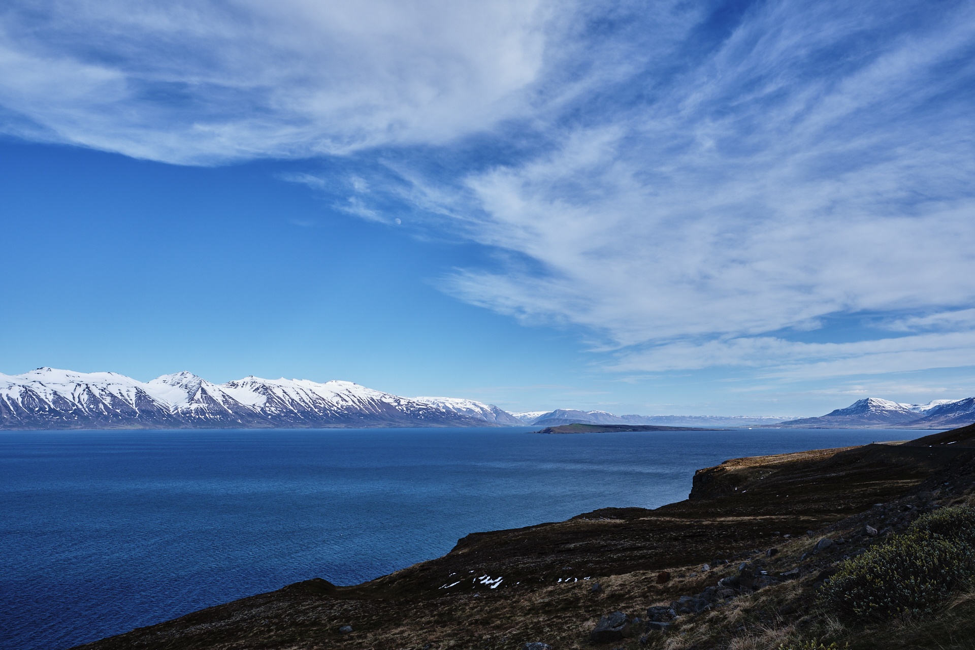
The views along the fjord were truly beautiful, with snow covered mountains both directly to our left, and over the vibrant blue water to the right. There was still a nice lookout point where we could stop for a few minutes just before the road turned left, into a dark, narrow tunnel. (There were wider sections every few hundred meters so cars driving in the opposite directions could pass, but we did not meet anybody else.)

We arrived to the quiet village of Ólafsfjörður around half past six, where we had a small wooden house for the night (at Brimnes Hotel & Cabins). For dinner we got some takeaway pizza from Höllin (the restaurant was under renovation and only the kitchen was open), then we both went to sleep relatively early in the evening.

Road trip Iceland: Day 9 (Mývatn)

We had not set an alarm for the morning because of the predicted rain, so for once we got to sleep in properly. I actually don’t even remember getting breakfast, I think we just ate something from our snack bag. Clio probably visited the sauna once more, while I was surfing the internet, waiting for the weather to improve. Outside of Reykjavik this was the only place where we stayed for two nights, so we did not have to pack and check out that day (even though our packing game was already very strong).

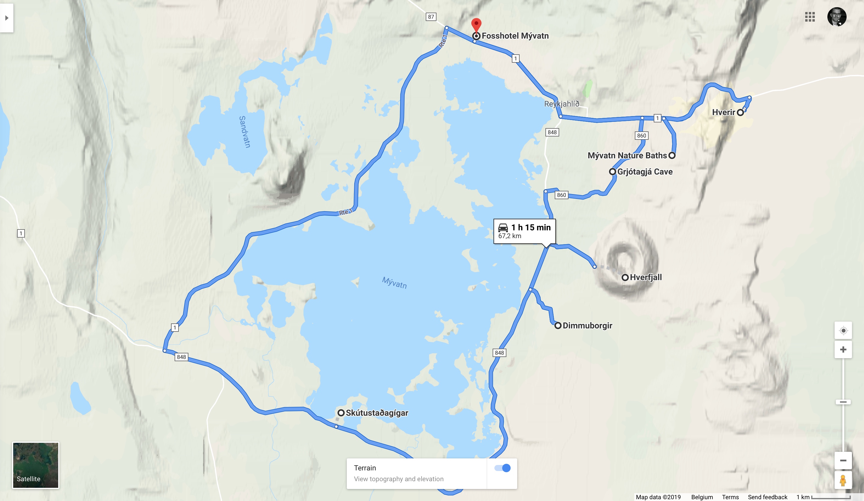
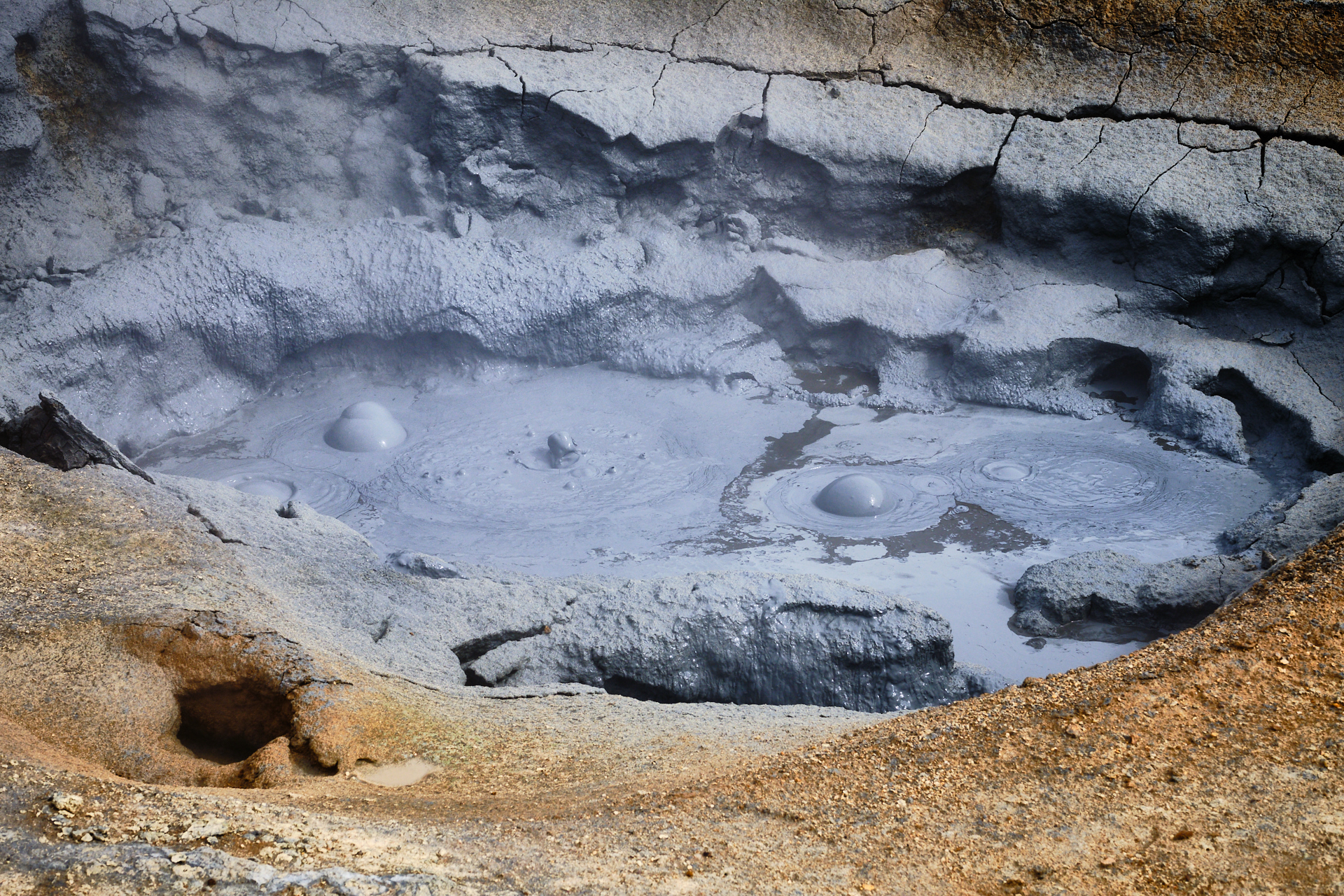
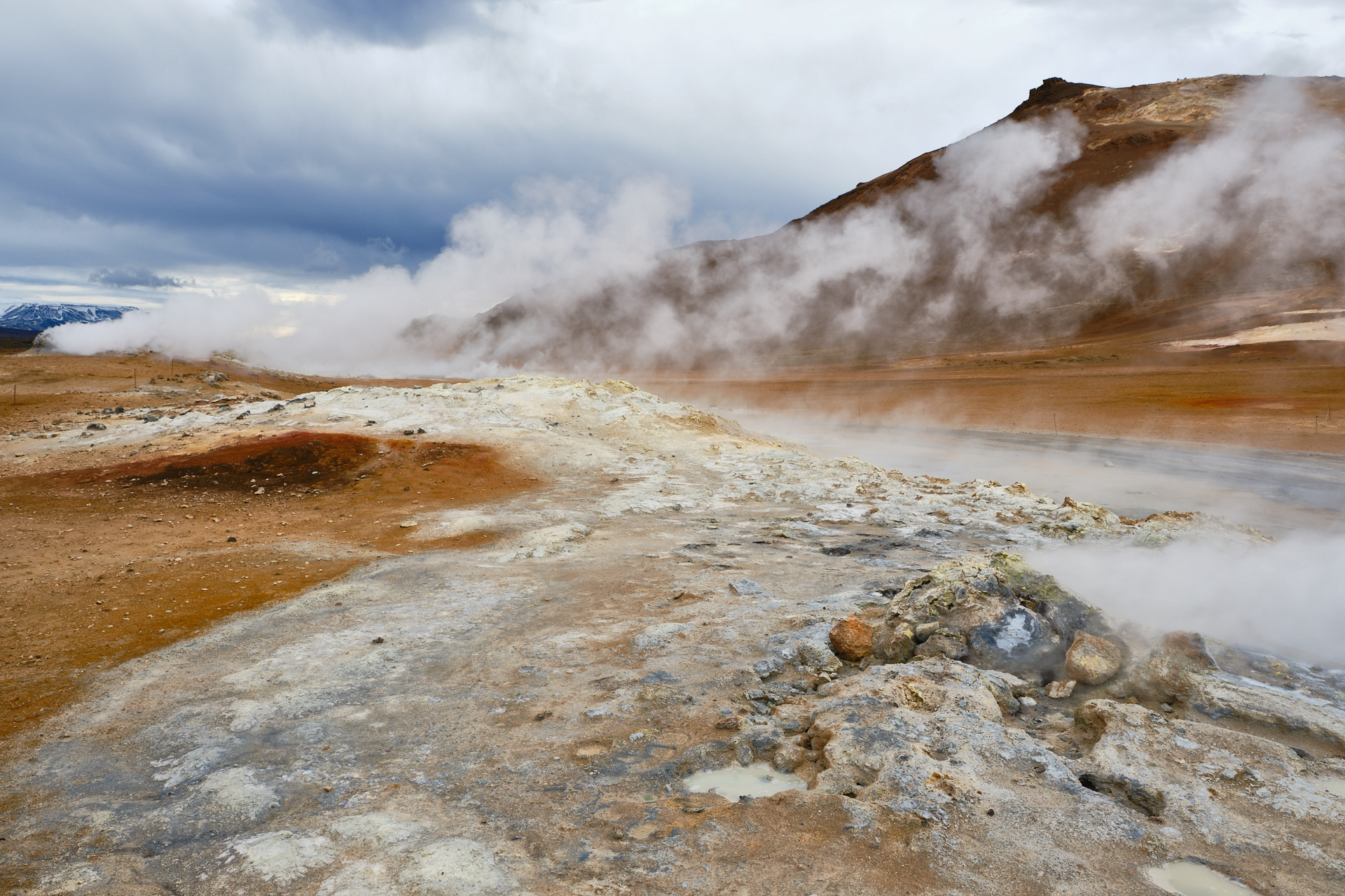
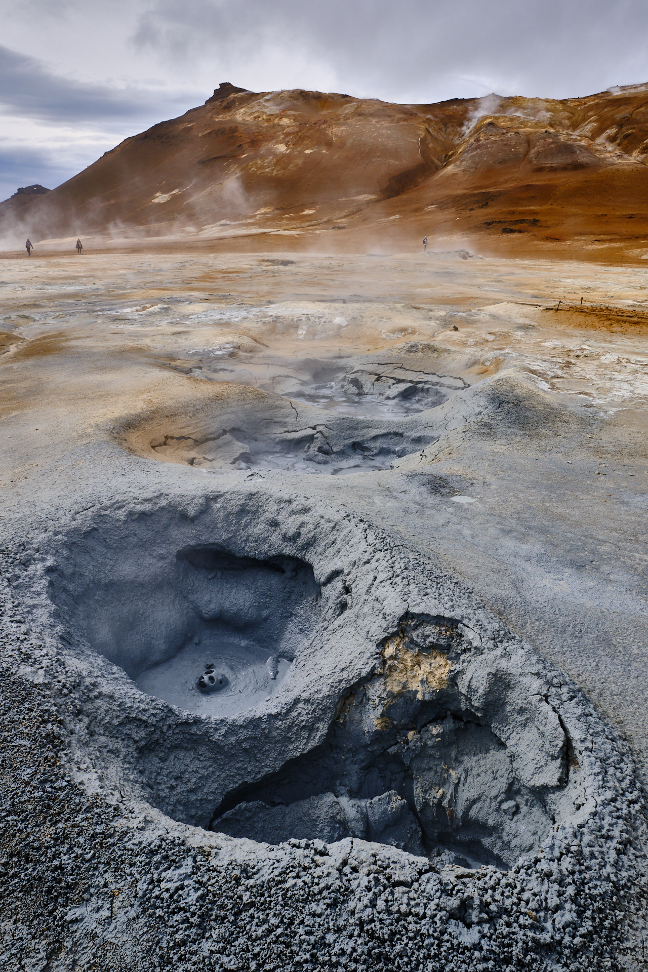
As soon as the weather radar gave us the green light (by indicating that the end of the rain zone was just about to arrive), we got into the car and drove to the Hverir geothermal area. Since we were spending the whole day around the lake, the driving distances were always very short (which was really nice after spending so much time behind the wheel basically each day since we left the capital). It seems that we were not the only weather-conscious people in the area, because two buses full of tourists also arrived as we got out of the car. It did not take two steps to realise that our shoes would not stay clean there, because the top two centimetres of the ground turned into mud from the melting snow and rain of the previous days.

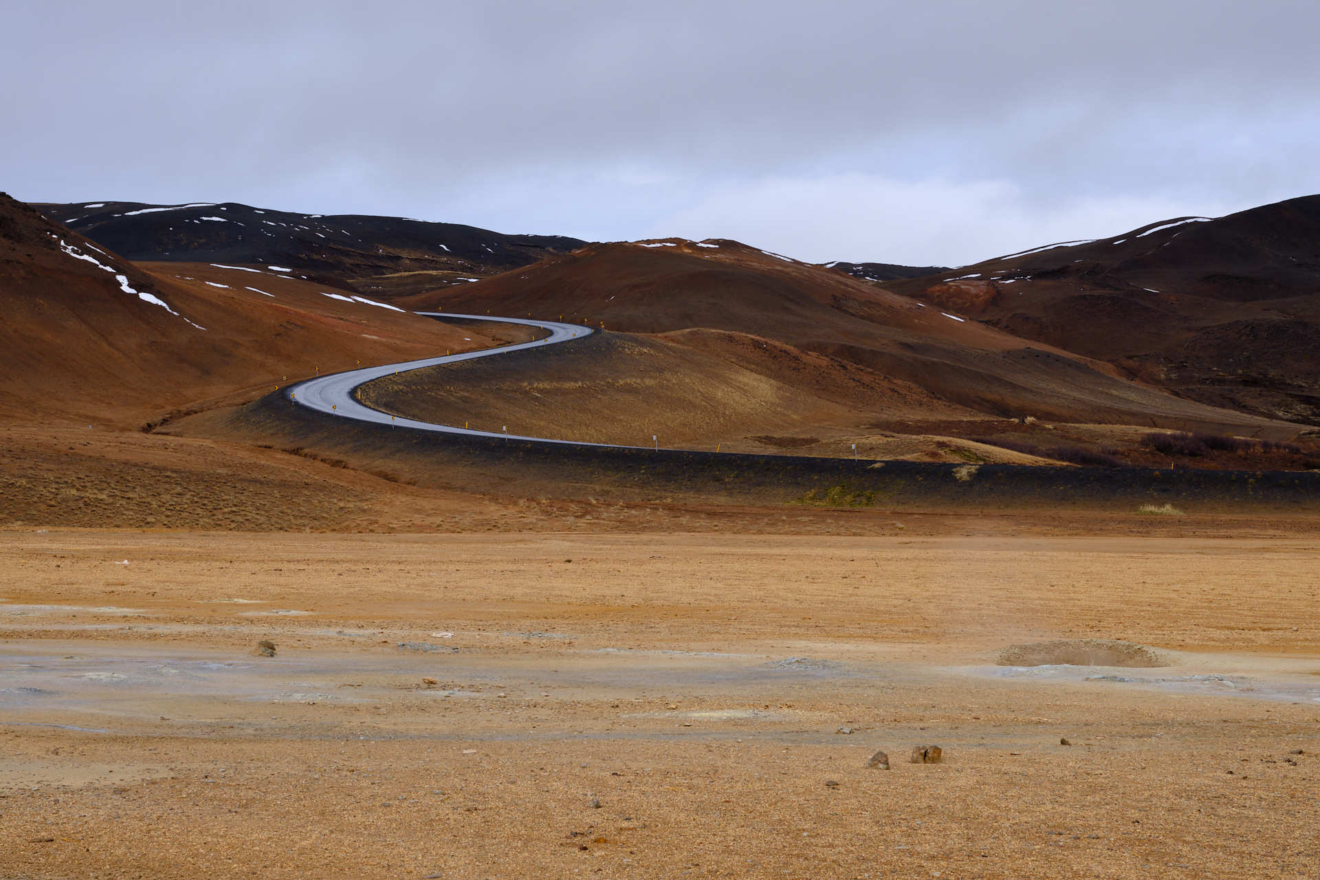
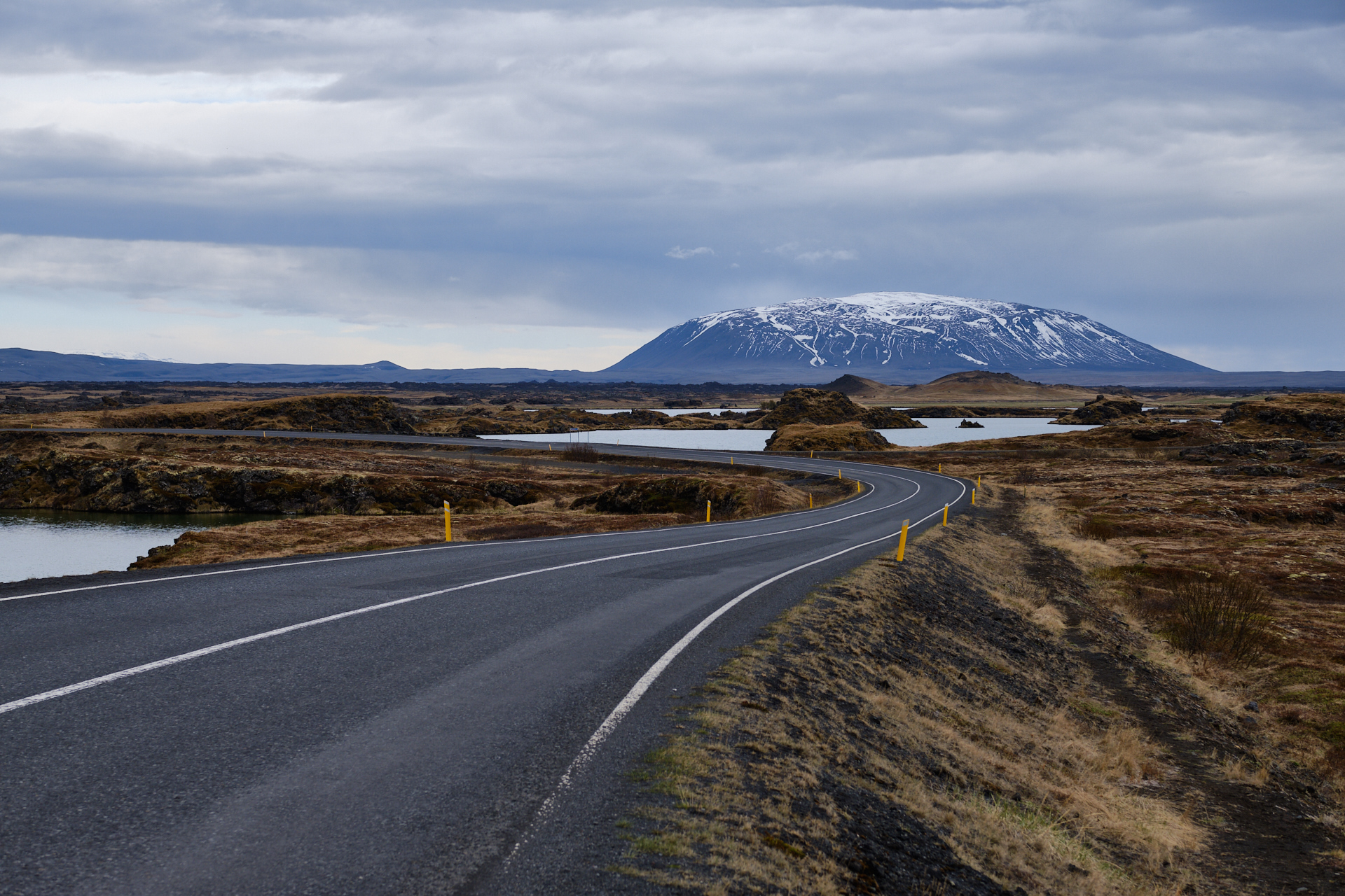
The geothermal area itself was really nice, with plenty of large boiling mud pools and a few tall, very active, steaming fumaroles emitting sulphuric gas – which made the experience also very smelly. I really liked the view of the ring road climbing past there on an S-shaped serpentine, engineered tightly around the topology of the colourful volcanic landscape.

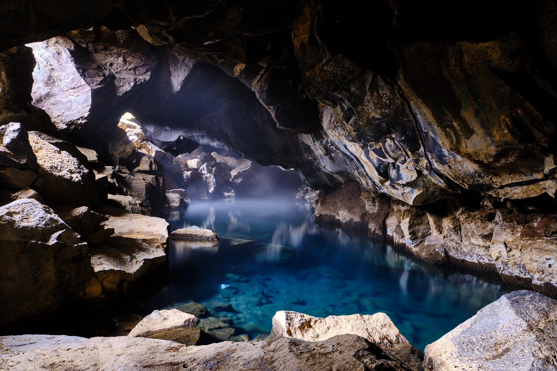
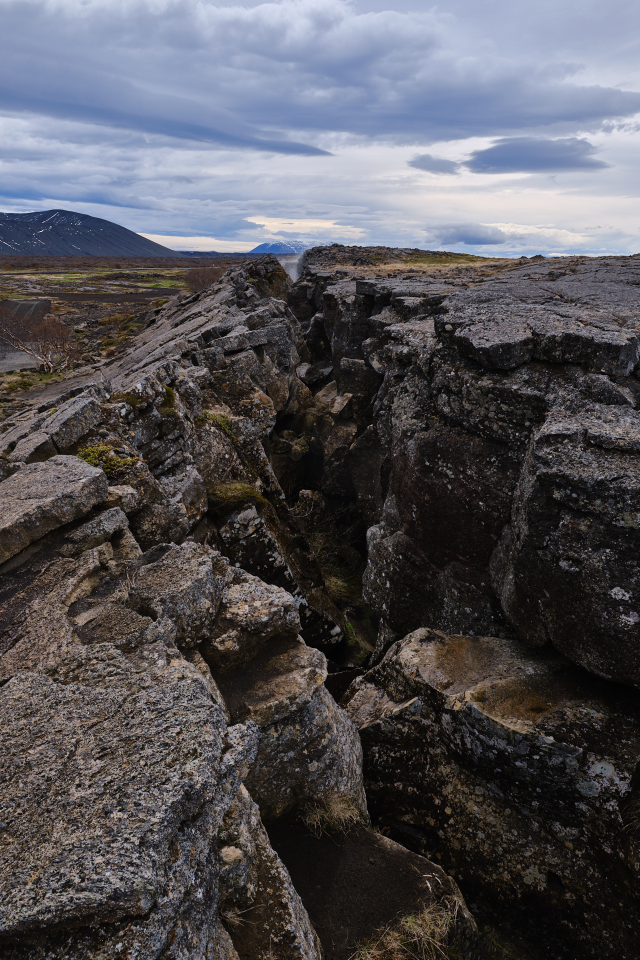
Our next stop was at the Grjótagjá Cave, which is a warm-water filled crack in one of the old lava flows, recently made famous by a fittingly steamy scene from Game of Thrones (and thus being mostly known simply as “the sex cave”). Actually it is worth climbing on top of the small ridge above, to see how the crack runs straight across the lava fields.

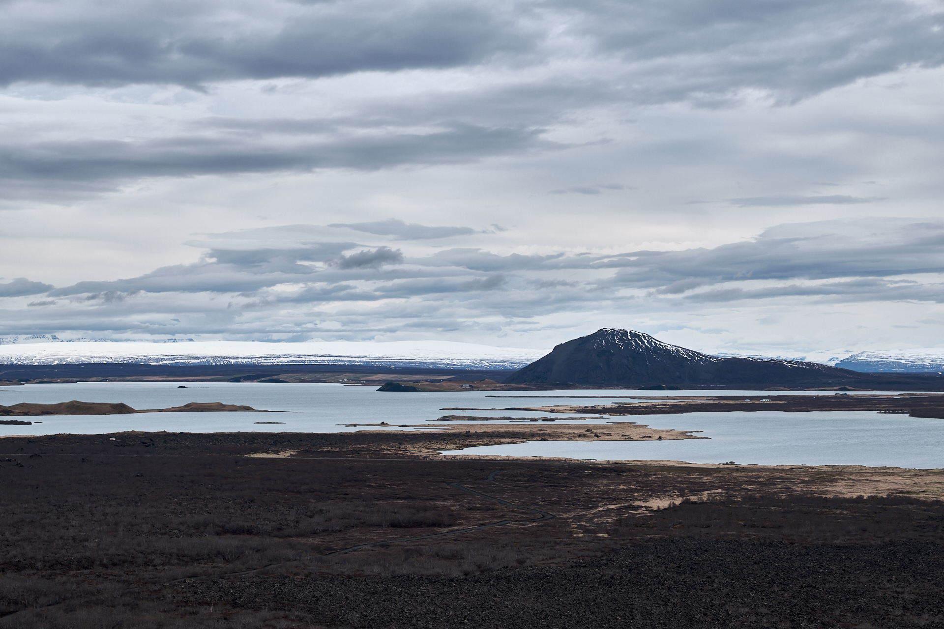
From here another small drive – this time down a narrow gravel road – took us to the ring shaped crater of Hverfjall. We hiked to the top (following a here and there loose, but generally easy, rocky path) along the Western flanks of the volcano, to enjoy the view into the caldera and over the whole region (lake, volcanoes, lava flows, steam columns, etc.). It was pretty windy and we wanted to stay on schedule, so after taking a few pictures we descending back to the car. The weather was finally getting a bit warmer – reaching around 10°C by the afternoon – after a few days around freezing, albeit the Sun was nowhere to be seen.

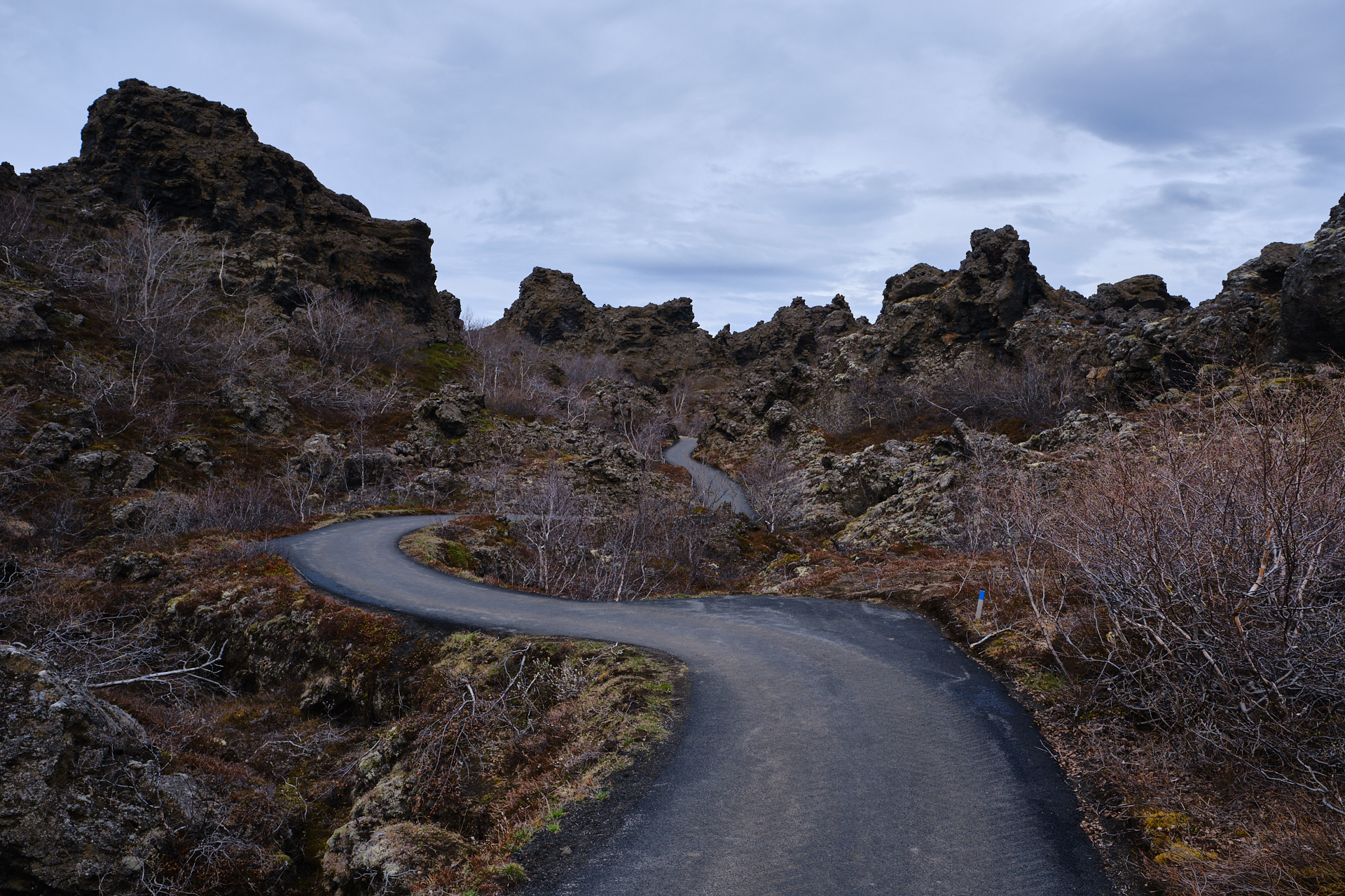
Just a ten-minute ride further we stepped out at the parking spot of the Dimmuborgir lava fields. Before going for a walk around the area, we held a short break at the Kaffi Borgir to get something to eat (a small sandwich, a slice of cake, and coffee). In retrospect, I should have definitely eaten more, but we will come back to this later. After the food we made a small loop around the lava towers of the area (worth reading the entry on Wikipedia about their formation), and while it was quite nice, I could not really capture the atmosphere on a photograph.

Originally we were planning to do another short walk around the coast of the small Höfði peninsula, but to save some time we skipped this, and simply stopped on the side of the road (in a parking spot further South) to take a few pictures along the way instead.

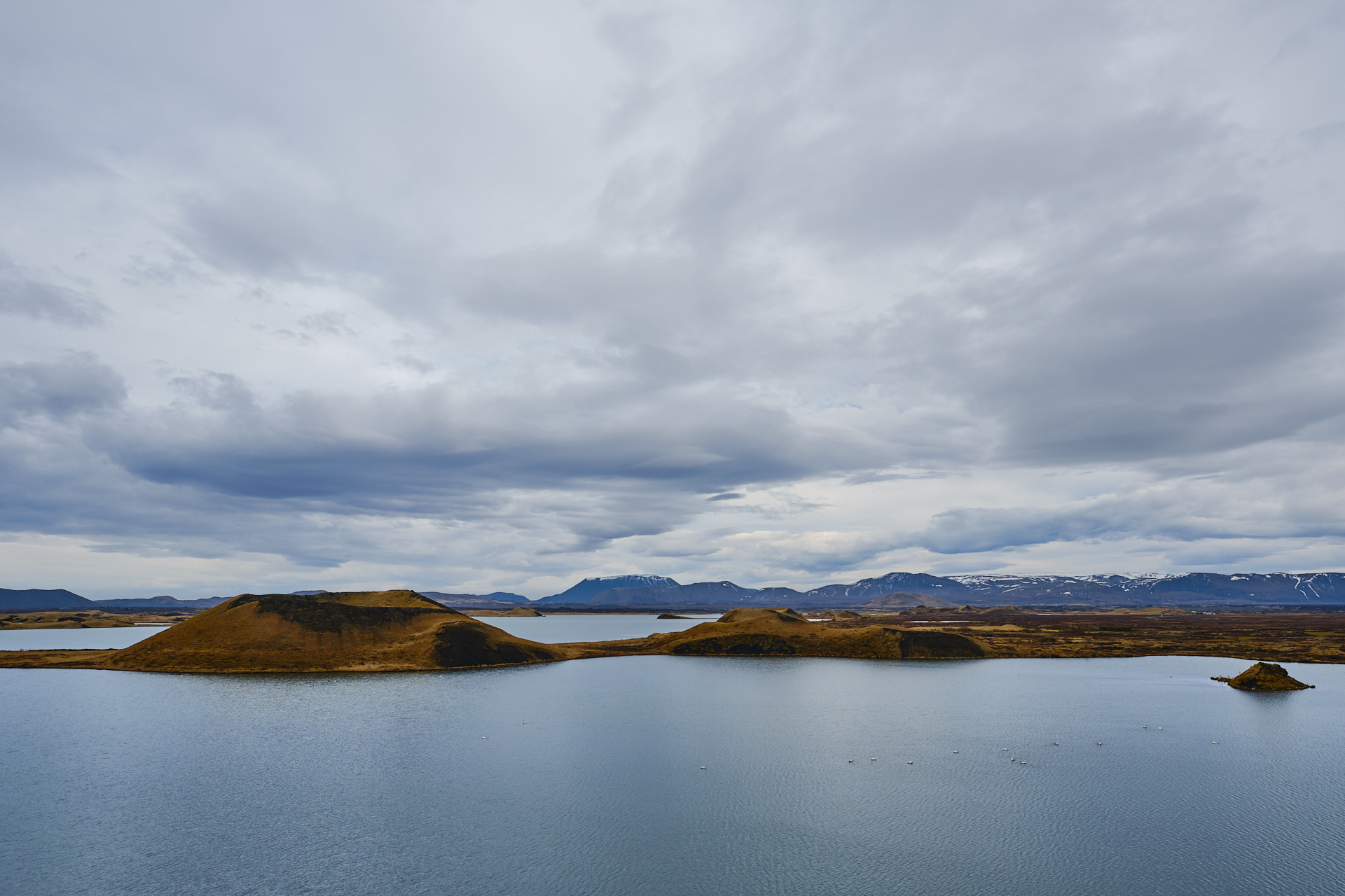
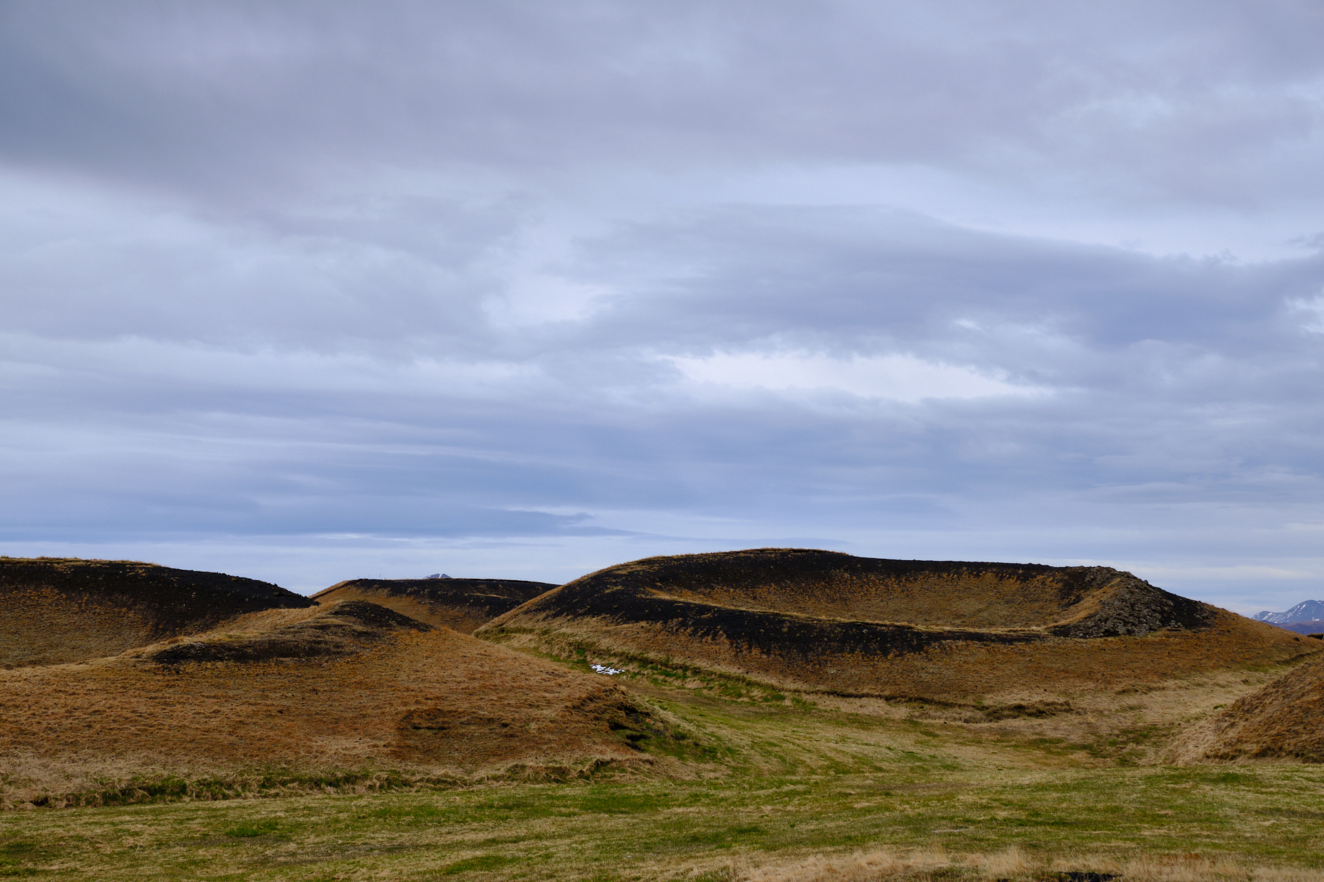
The last stop on our afternoon trip around the Mývatn was at the Skútustaðagígar, where we could walk around several grass-covered pseudo craters. Some of these craters had a nice view over the lake. From here we drove back to the hotel over the Western side of the lake, where there were still plenty of – less touristy – stops where one could stop to enjoy the scenery with more pseudo craters and views over the water.

Back in the hotel we picked up our beach clothes and bath robes, left the photo equipment behind, and headed to the Mývatn Nature Baths. This place has basically the same kind of open air pools filled with light blue coloured geothermal water as the Blue Lagoon, but without the crazy amount of tourists, and with much friendlier prices. By the time we got into the water the sun came out, the air became very clear, and there were beautiful lenticular clouds forming over the mountain peaks. The water temperature was perfect, and for people like Clio who like to be cooked, there were even special hotter spots too. We spent a good one and a half hour relaxing and floating around from one spot to another, before getting out. That’s where things went downhill for me very quickly. As soon as I got out of the water I started to feel weak, and while walking to the changing room I quickly realised that my blood sugar level was plummeting and that I had to get horizontal ASAP if I did not want to faint. So I lied down on a bench hoping that things would get better, and of course that helped temporarily. Unfortunately instead of asking for help from someone I did the “manly thing”, and got up slowly to walk back out to one of the first aid people on my own. I guess you already know where this is going. I fainted twice, one the way towards the door and on the way back to the bench (after I realised that I won’t make it outside), the second time hitting my head against the stone wall, leading to a quite ugly scar on my forehead (imagine Harry Potter, but less lightning shaped and more bloody). So when I made it back to the bench I actually asked for help (there were not many people around, so people did not notice me spontaneously), and this way I was quickly taken cary by the staff. Meaning that I got some sugar pills, a wheel-chaired transport to the first aid room, some wound cleaning and so on (Clio did most of the patching up though). Luckily no stitches, and no concussion either. After filling out some paperwork, we had dinner in the cafeteria, before driving back to the hotel. I was quite annoyed by having to wear a band aid on my forehead, but I was still happy that things did not go down worse… So what is the moral of the story? Don’t go to the geothermal baths with and empty stomach! (And ask for help if you need it!)

Road trip Iceland: Day 8 (Transfer to Mývatn)

With a very tiring (but awesome) day behind our backs, we were happy to take the morning easy, and enjoy the breakfast in our hotel for a bit longer than usual. Since we already visited the puffins the previous evening, we had quite some extra time on our hands.

We left around 10, first driving back to Egilsstaðir, then turning left onto the ring road, heading North. The weather was sunny, but still very cold, and the road condition reports indicated occasional patches of melting snow for later. It took quite some climbing to leave the Lagarfljót behind, before turning Westwards, descending into the valley of Jökulsá á Brú or Jökla – a river that we would follow upstream for a while.

There was basically no traffic (even less than before), and the landscape was also very bleak (long, straight, wide valley with nothing but yellow grass) compared to the wild vistas of the Eastfjords, so to break the monotony of the drive I stopped at an unscheduled parking, below the Rjúkandi waterfall. But the stop was more for snacks than for actual sightseeing, since we had already seen quite a lot of waterfalls on Iceland during the previous days, and we were heading towards two larger ones anyway. As the ring road continued climbing higher, we left the rivers behind, and entered into a more rocky, barren region. At one point the road had to navigate around and across a row of smaller and larger volcanic cones, and overall it felt like driving on another planet. Soon after – as we left the ridge behind – we had to cross a relatively larger river (Jökulsá á Fjöllum, which flows from the Vatnajökull glacier) on a single lane suspension bridge.

The two waterfalls that we were heading towards are both located approximately twenty kilometres downstream this river. To get there we had to leave the ring road for a while by taking a right turn onto road 862 a few kilometres further. The new-looking asphalt ribbon cut through old lava flows as it headed towards the North with us. There was a lot of fresh and melting snow around (some on the road, but not too bad), clearly dumped on the landscape by the snow storms that had passed there during the previous couple of days. Everything was reflecting sunshine, so I had to squint my eyes quite a lot in order to see something of the road ahead.

It was not too difficult to find the spot where we had to make the final right turn off road 862 towards the parking, as the main road was not cleared from the snow beyond that point. There was also still a lot of snow (albeit melting) in the parking, and over the whole landscape around us. It was around one on the afternoon when we arrived here. First we walked to the Dettifoss, which is one of Europe’s most powerful waterfalls.

There were plenty of good lookout points along the trail where we could enjoy the views and take pictures, and luckily it was impossible to walk down to the waterfall itself, so people could not get into (and ruin) the view ;) While the weather was quickly deteriorating as more and more clouds arrived, we still managed to catch a rainbow before the sunshine disappeared completely.

From here we walked to the Selfoss – a few hundred metres more upstream -, where water falls below in a U-shaped area, lined by basalt columns. It is a much smaller drop, but still worth a visit. We passed by the Dettifoss once more on the way back to the parking, just to see if I could get some pictures in better light conditions. (I could not really…)

We left the parking around 14:30, and drove straight to our hotel, where we would spend the next two nights – the Fosshotel Mývatn. It was still an almost one hour long drive, and it took us past some of the geothermal spots (which were planned for the following day) just outside of Reykjahlíð. After we arrived to the hotel and checked in, I took a short nap, while Clio went to the sauna. Since the weather forecast did not look very good for the next morning (for the first time during our stay, rain was imminent), we decided that after dinner we would still visit some of the things that were originally scheduled for the next day.

So after some fish and chips, or burgers (I can not remember the details anymore, only that we ate in Gamli Bærinn, and that the food was not very special), we headed to the Krafla area. The small road leading there passed by a geothermal power plant, and an outdoor shower installation (with hot water of course, although the art aspect was more important than the hygienic one). We made a short detour to the crater lake of Víti first (freezing cold wind, barely managed to take a picture), before arriving to the parking of the Leirhnjukur geothermal area.

We did a short walk here around the “Mud Peak”, passing by numerous warm and smelly fumaroles, a small lake that was somewhere between grey and blue (and it was difficult to decide if it was filled with water or mud), and some black lava fields (here and there covered by green moss). The active nature of the area was evident from the hot spots that were not covered by snow, where we could also literally feel the warmth of the ground.

From the peak you could see several snow-topped table mountains or tuyas – volcanoes that were born under a thick glacier (that has melted away by now, leaving these steep-sided mountains behind). The wind was strong and very cold, so we were really happy to be back in the car afterwards.

By the time we made it to the hotel it was already past eight, so there was not much left but posting some pictures to Instagram, and sleep…