Tag Archives: cycling

8 Hours Cycling @ Spa-Francorchamps

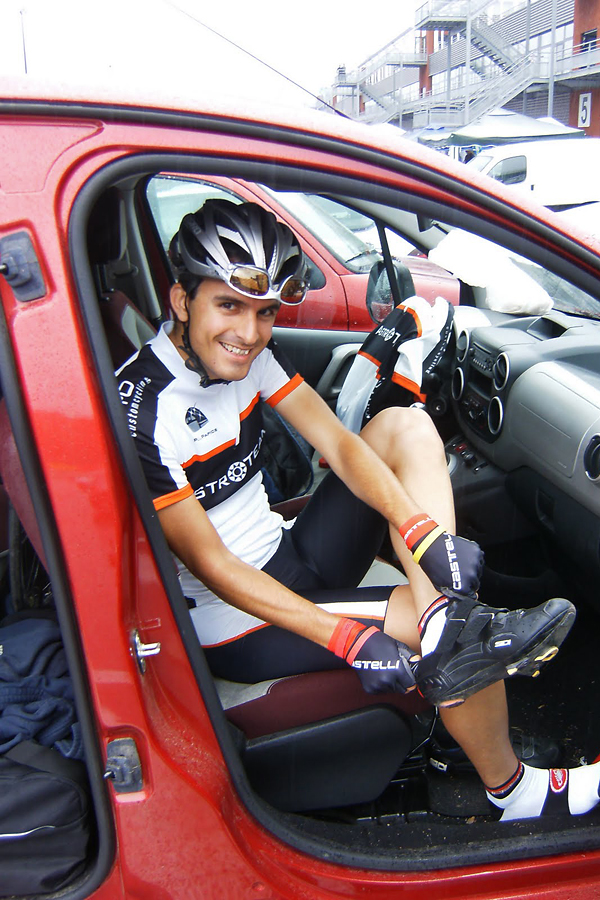
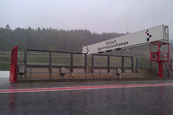
On last Sunday I had the opportunity to ride my racing bike on a real Formula 1 track, as the AstroTeam was one of the 104 teams at the 1st ever 8 hour cycling race at Spa-Francorchamps – the track of the Belgian Grand Prix. We were among the 37 Quattro teams (Pierre, Stan – replacing Kristof who unfortunately got injured from overtraining -, Tijl, and Your’s truly – preparing for the first hour in the rain below) racing on the circuit.

The event was very professionally organised, with electronic timing system (using a wireless transponder placed in a standard cycling bottle) and live tracking of the results in the box. We rode in shifts of approximately one hour (Tijl, Pierre, me, Tijl, Stan, Pierre, me, Stan), changing – passing the bottle with the transponder to the next rider in the pit lane, while both riders had to be strictly off their bikes – after 3-5 laps. As Pierre had a broken spoke, he had to come in earlier, so I got the transponder while I was still preparing at the car, thus we lost some time here (that’s why my first lap seems to be unrealistically long in the table below – the pitstop time is also included), and I had to jump into the middle of the action still a bit unprepared :D

It was a lot of fun! Although the weather was not the best. It was the worst probably during my first hour, with basically continuous heavy rain, slippery asphalt (I took the downhill corners a bit more careful after my rear wheel slipped for the first time, right after I have seen the same thing happening with another rider ahead of me), and low visibility (even my fancy pro cycling glasses got a ‘bit’ foggy) – with tons of water splashing into my face from the wheel of the cyclist in front of me…

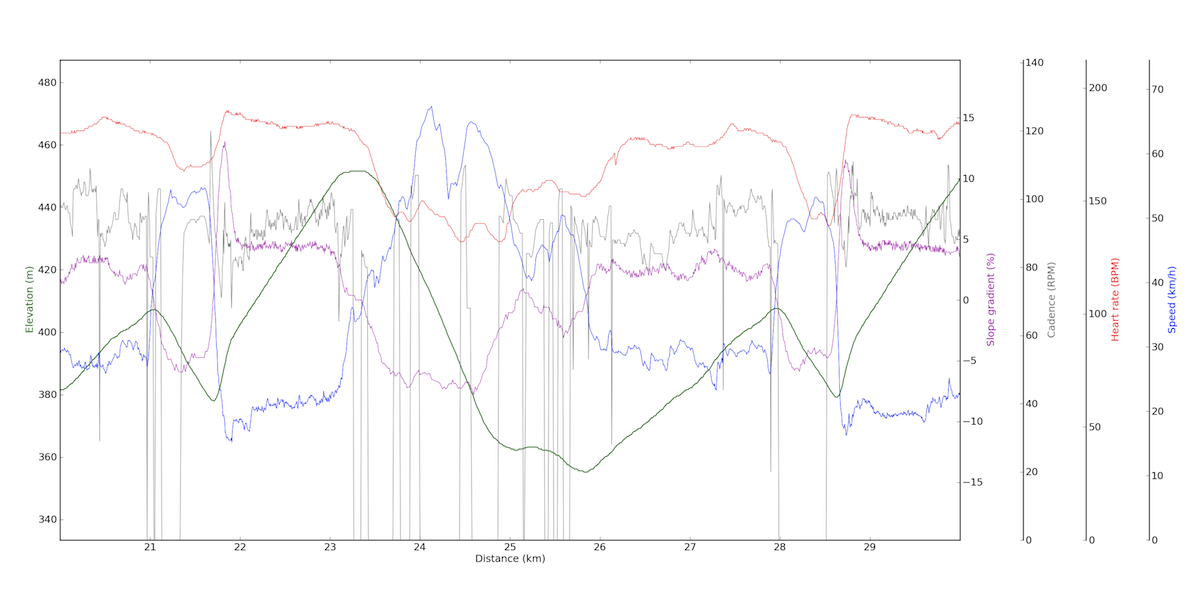
I could say it was very Belgian :D There was so much water, that the elevation data in my GPS got completely messed up, as the openings of the barometric sensor got fully blocked…

Luckily I managed to stay dry during my second hour. Oh, I mean, I managed to not get even more wet, as I had to ride in the same clothes as before (luckily I could change into dry clothes for the time in between the two shifts), and you can imagine that nothing got dry in three hours… But it was part of the experience, and as the air temperature was not cold (19°C), I did not really mind the rain. It made the whole event much more interesting (and harder in the corners of course) for sure.

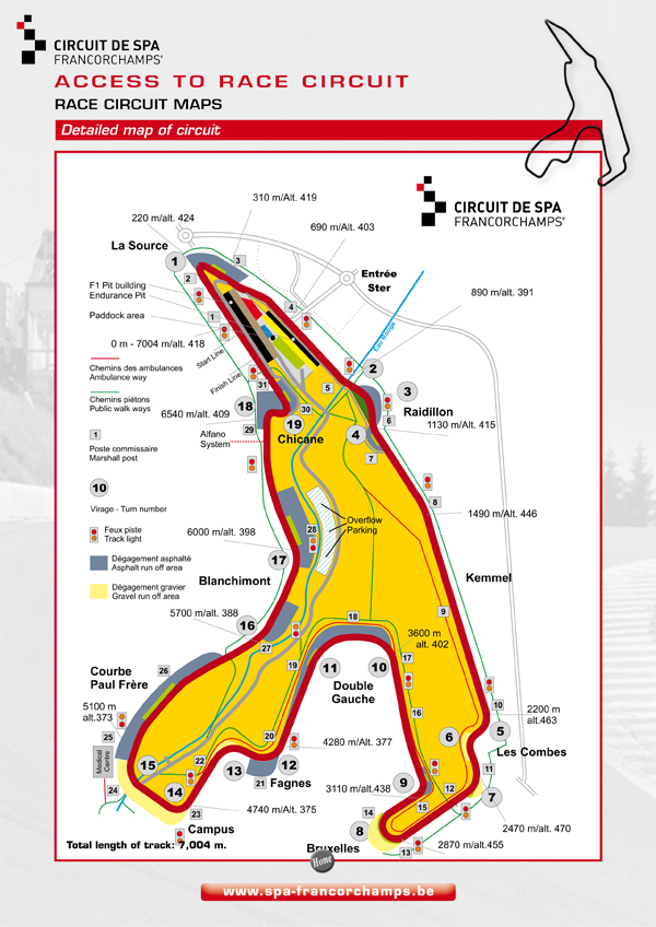
You probably think that a Formula One track is probably completely flat. In case of Spa-Francorchmaps, this is really not the case. See the plan above, and data from my ride below (click for larger size, a lap starts at a bit before the 21 km mark and lasts till a bit before the 28 km mark), plus you can check out the course from a recent – very realistic – video game here :) So the two climbs had an impact on our speed for sure, especially that we had to be very careful with the downhill curves given the slippery conditions.

At the end we came in 24th overall (out of 104 teams) and 12th in the Quattro category (out of 37 teams), having ridden 37 laps (the picture at the end of the post does not display the final results), which is 4 laps less than the winning team. We had an official average speed of 31.192 km/h (I say ‘the official one’ because the official length of one lap is 7004 meters, but the optimal line – especially with a bike – is shorter, ~6.9 km here), compared to the 35.351 km/h of the winner quartet. I think this is a very nice result, especially when you compare our training load and equipment to the ones’ who had finished ahead of us. Especially that my goal was to finish in the top 50% (overall and within our category, while the result was top 25% and top 33%). My best lap was 12:21.694 (34.0 km/h, while I had a final average speed of 32.0 and 32.7 during my first and second hour, respectively), and only Stan was faster than me from our team. His ride was truly amazing, with a best lap of 11:19.675 (37.1 km/h)! Clearly, we can thank several positions to him :) The times for the rest of the AstroTeam were also very good, Tijl had a best lap of 13:08.535 (32.0 km/h), while Pierre’s fastest was 14:50.046 (28.3 km/h). We will ride next year again. Maybe the same race, maybe a 24 hour one ;)

Tour of Tenerife, Stage 4 (108 km, 2500 m+)

On the last day of my private Tour I decided to go to the northwestern part of the island, to the Teno region. I took the TF-324 to Los Realejos, then I rolled down (it was very steep, so I knew that will hurt on the end of the day, when I am coming back) to the TF-5 road, which is not a motorway anymore towards the west, so I am allowed to rido on it. This part of the route was not really special, though I had huge rock walls rising on my left, and the sea lying on my right, but after spending so much time on the Canaries, these things are not too extraordinary anymore. Luckily the TF-5 had a very wide side-lane all way long, so it was not that bad riding there even though the traffic was a bit higher than one would wish for… It was especially useful when I had to climb, because while my downhill speed is comparable to the speed of cars, my climbing speed lags a bit behind that. So, the first climb came after 17 kilometers:

4.3 km @ 3.8% with a maximum over 100 meters of 7.6% (4th category)

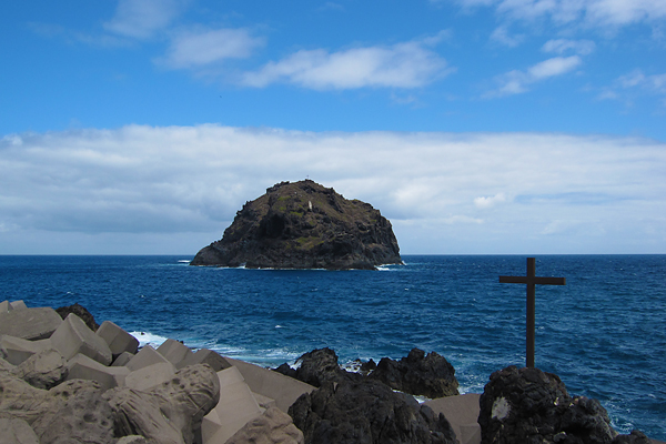
I did not really like this TF-5, so I was quite happy to leave it behind at Icod de los Vinos, and continue with a very fast descent on TF-42 towards the west, with much less traffic. There is a very nice view towards the mountain ridges of Teno and the rocky shoreline of the island from this part of the road. Soon the road arrives to Garachico, a lovely small city with colorful houses and a big rock in the sea in front.

Unluckily after leaving this place, the road quality gets pretty bad, and to make things worse it runs between endless concrete walls surrounding the local banana plantations… The next village is Los Silos, which looks also very nice with typical colored houses and a small white church, but as the road did not cross the center, I can only tell what I have seen from outside. Then after 39.84 km, I arrived to Buenavista del Norte, where the first big climb of the day started up into the heart of the Teno region on TF-436:

12.0 km @ 5.6% with a maximum over 100 meters of 13.6% (2nd category)

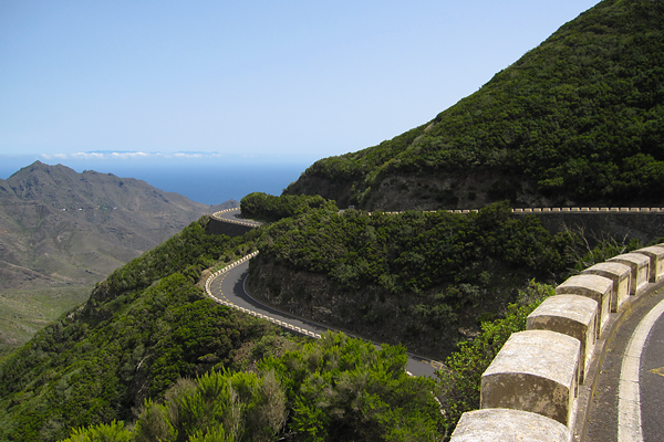
This was a very nice and scenic climb, on good asphalt, and with minor traffic. The switchbacks were usually very steep, while the sections in between were much easier (hence the not so high average gradient).

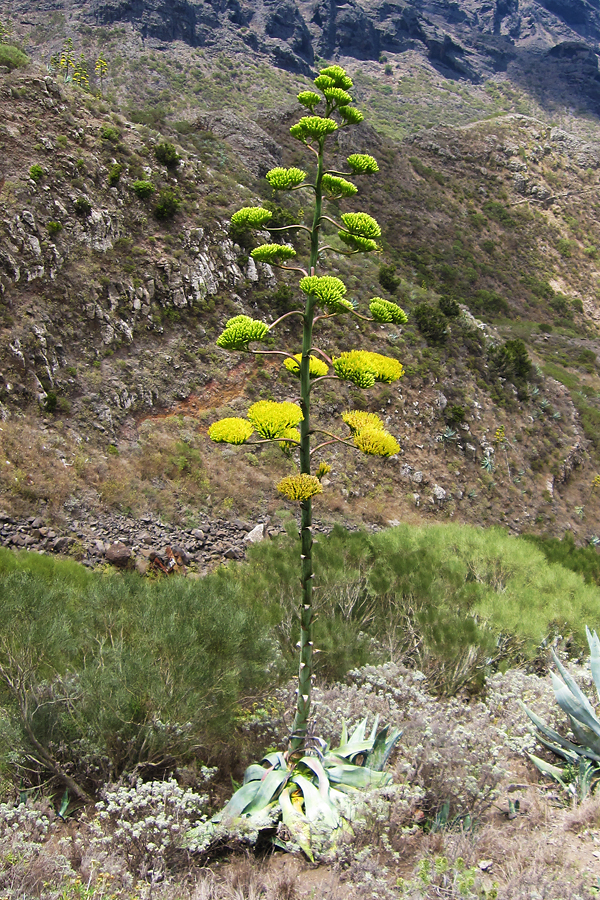
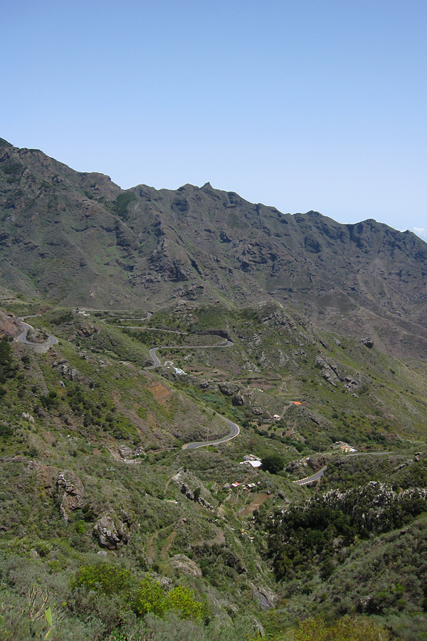
There were lots of typical high plants blooming along the road, and after El Palmar there was a very interesting (volcano looking) hill, with huge cracks along the sides – you can see that on the picture below.

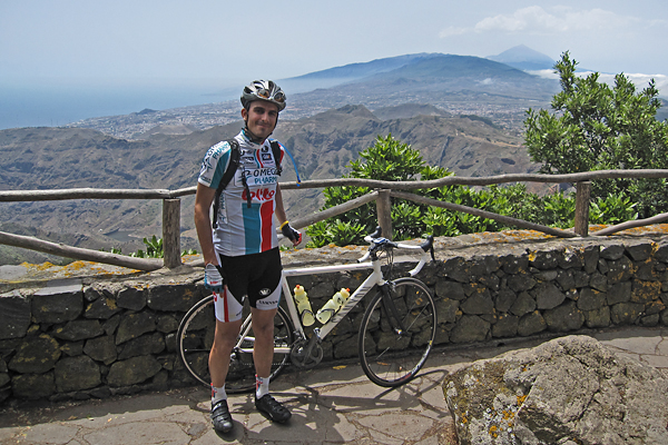
At the top, there was (a lot of wind, but besides that) a great lookout point with amazing views towards both sides of the ridge.

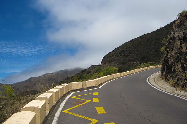
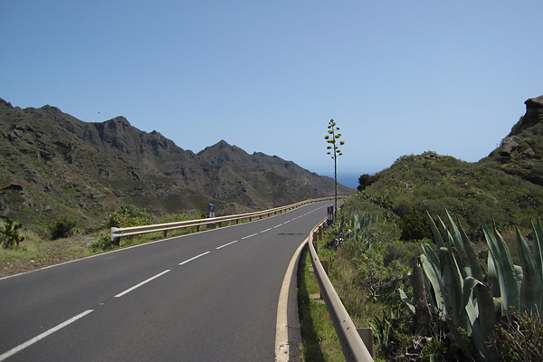
From here, there came a very steep descent (with basically one lane as almost always in this region, with more space in the curves – see below), then a short climb to the next lookout point starting at 53.16 km:

1.5 km @ 7.4% with a maximum over 100 meters of 16.8% (4th category)

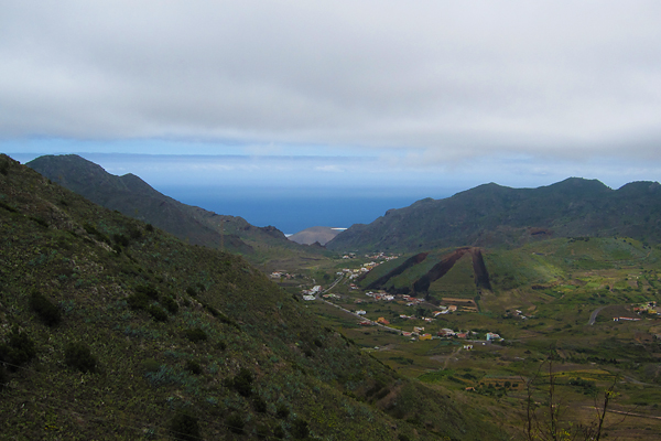
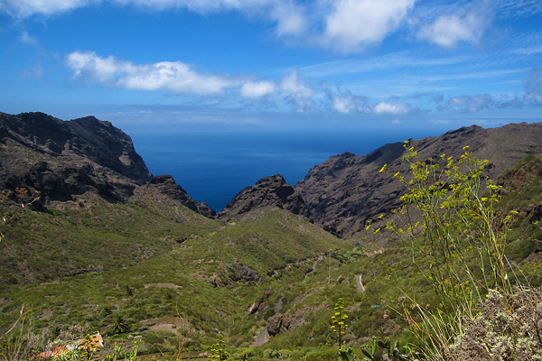
This was the first very steep section (in the average, a 200 meter long slight descending section is also included), where I had to stand out of the saddle to get up. Then from the top, you could look towards the see along the steep valleys, but also towards the village of Masca.

Getting down there was only a question of minutes, but there I took a short break, because I knew that what was about to come was going to be something ‘special’. So after an energy bar and some magnesium and calcium, the craziest climb of the week came at 56.78 km:

4.0 km @ 10.8% with a maximum over 100 meters of 16.8% (2nd category)

Based on the two expressions (and the feeling in my legs approved this) which are used to calculate the difficulty of climbs in my script, this was tougher than the 12 km long ascent earlier the same day! (One of the expressions even categorised it as a 1st category climb, but I always accept the lower, if they are not the same – which is quite rare.)

It was extremely difficult for several reasons: 1) the steepness itself, 2) it was the worst road surface I have ever encountered on the Canaries, I really would not want to do a descent there…, 3) it was in the middle of the day with the Sun near the zenit, in scorching hot with no wind at all… I had to be out of the saddle basically all the time, and I could have easily used an easier gear, than the easiest on my compact set… Even cars had difficulty in going up.

But I did not stop (only at one of the last lookout points to take some pictures of the road and the view), I kept turning the cranks around (quite slowly, I have to admit). It was difficult, but it was also very good, to make it. On one of the steepest sections a car ‘slowed down’ next to me, and they asked if I was OK… I was, but I got it why they asked it :D It was damn steep and hot. Then from the top you could see the Teide too!

I was pretty proud of myself that I made it to the top. I knew this would be a difficult climb, but it was much worse than I had it in my imagination. It was truly legendary. Then again, a short descent (with smooth asphalt) brought me down to Santiago del Teide, where I turned left and took the TF-82 road towards the north. Of course I still had to climb a bit… So after 62.22 km, the next ascent came:

3.2 km @ 5.5% with a maximum over 100 meters of 9.8% (4th category)

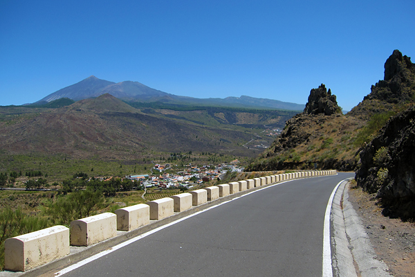
This was the last sunny stretch of road for my holidays, with nice views towards the western slopes of the Teide, but as soon as I passed the highest point (Puerto de Erjos, a bit higher than 1100 meters) I submerged into the cloud layer… From here, it was a nice, mostly smooth, long descent towards Icod de los Vinos.

I stopped at the very famous lookout point above Garachico to take some pictures – there is a reason why it is a popular spot, the view is truly fabulous. Then I had to ride again on the TF-5 road, so there is nothing special to report here. Then I had to climb back on the same steep road I took on the ‘morning’, which brings us to the last climb of my holidays starting at 97.2 km:

7.2 km @ 5.1% with a maximum over 100 meters of 15.4% (3rd category)

The steepest section was painful, but it was in the middle of a quite big city, so I got a quite big crowd looking at me :D Relatively big… Then from the top, it was just a roll home. I arrived tired, but happy about all the rides I did recently. GPS details from the last day can be seen here.

It was almost a month on the Canaries, with lot of observing, and lot of cycling, so now, sitting in Madrid, I am happy to go home. I will be back on La Palma in October with the students, but probably without the bike then, because I want to do some time-lapse photography again, so now I might carry my photography equipment instead :)

Tour of Tenerife, Stage 3 (95 km, 2500 m+)

After the ride of Thursday I had to take a day off (the bike). I walked around for a while in La Orotava (I will post some pictures of the city later), had a pizza for lunch, watched the Vuelta, and did not do anything special. Then on Saturday, I went cycling again. Now I was not in the mood to go and discover unknown roads, so I decided to ride up to the Teide, which I already did from this side last year. It was a very safe choice, because if I had any pain in my knee, I could have just turned back to roll down to my hotel. Of course, to properly climb the Teide (btw, it is not really climbing the Teide itself, because there is no paved road going all the way to the top, but it is cycling up to the highest paved road near the Teide…) first you have to go down to sea level – which means Puerto de la Cruz on this side of the island.

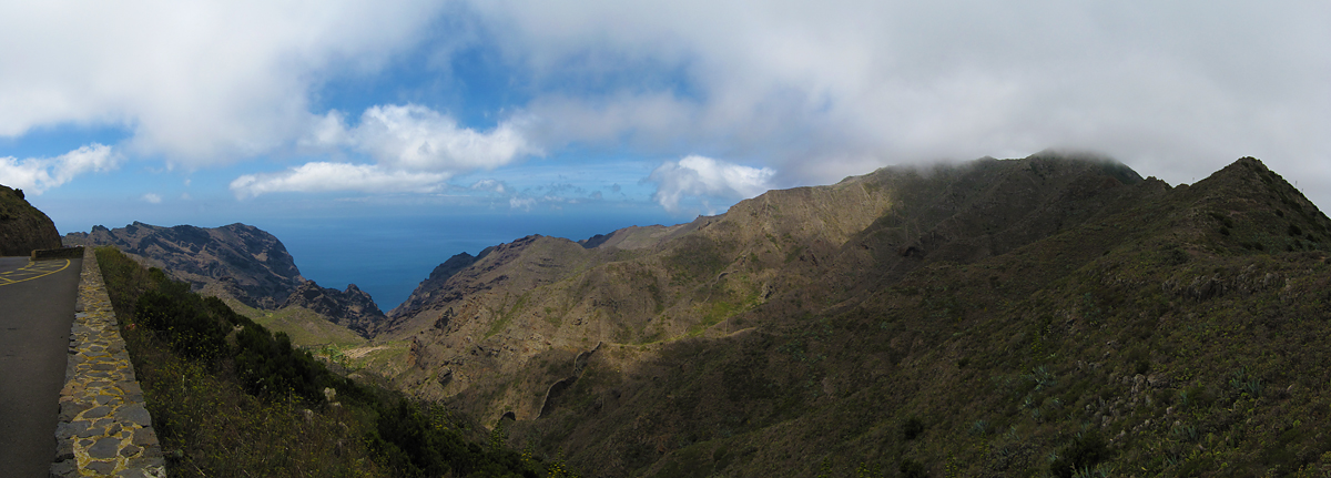
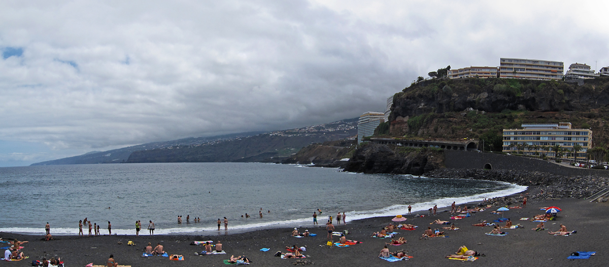
This (where I shot this panorama) is the closest I came to the sea :) I really don’t get the fun in going into the cold ocean, getting salty, and laying on the sand – especially not alone… So I quickly turned around to start the one and only ascent of the day after 8.19 km of descending:

43.6 km @ 5.4% with a maximum over 100 meters of 14.0% (HC)

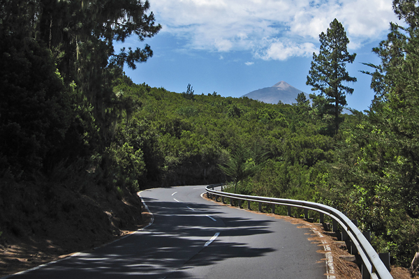
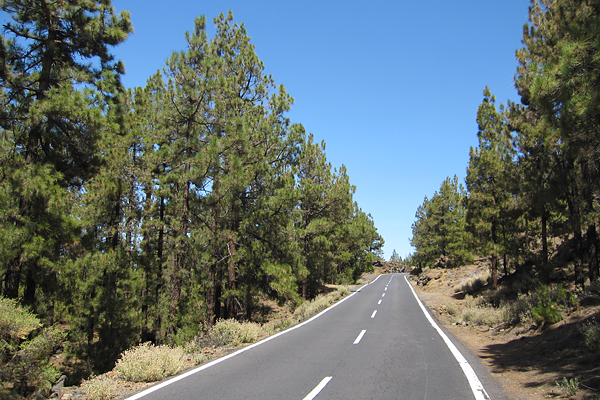
This is a monster climb. It is not steep, except for a short section, but it is extremely long. There are not many climbs longer than this. First you take TF-31 up till the TF-5 motorway, then a small local road up to TF-217 which takes you to La Orotava, where you turn left to TF-21, which will take you all the way up to the base of the Teide. Sounds easy ;) The section on TF-31 is boring, but then the small road (Calle del Risco Caido) is a real killer. A year ago I had to stop twice there. Now I managed to ride up without stops, but it was very difficult, ~700 meters with gradients around 10-14%… Then the gradient stays pretty constant (~6%) for tens of kilometers, so it is just steady spinning for hours. The road climbs through populated areas in the Orotava valley below 1000 meter, then it enters the pine forest. As almost always, I was riding in the cloud layer between 800 and 1200 meters, this was the ‘coldest’ and most humid part of the ride. Then quite suddenly the road emerged from the mist, and thus the climb continued in strong sunshine, so I had a short sunscreening stop ;)

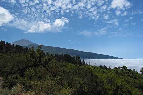
The Teide is visible from several places, luckily the highest point of the road is still one and a half kilometer lower than the peak itself… But it is a nice sight for sure, especially with the ocean of clouds below.

Now I made sure that I eat often and drink enough to avoid the situation I got into on my last ride on Thursday. This worked very well, I felt still quite well when I reached 2000 m ASL.

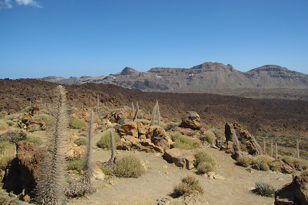
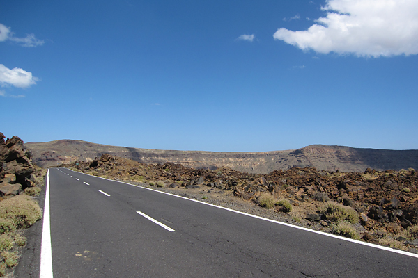
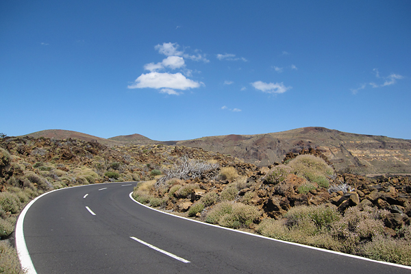
After passing El Portillo – the gate to the caldera – there were no more trees left, only rocks (and some small bushes, I know). And although the air temperature was around 20°C, it felt like 35°C with the strong sunshine and the reflection from the road and the rocks.

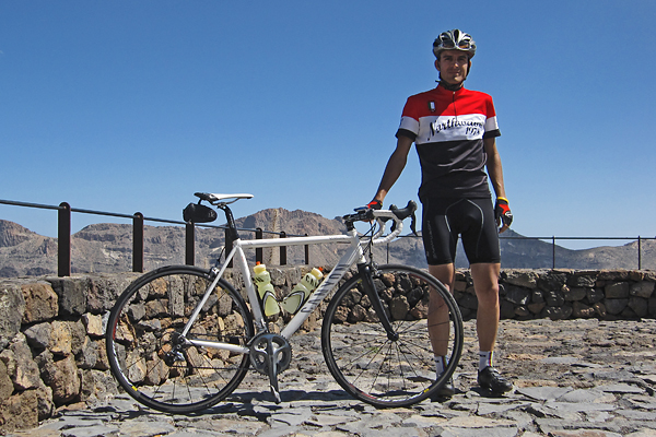
It is a bit like riding on Mars (probably). Then the highest point of the road arrives at the Mirador del Tabonal Negro, which is a pretty hot place on a day like this. I really had to leave after I made the photo below (which process resulted in a scratch on the side of my saddle, as my bike fell…), because I started to feel like being in an owen…

From here I still rode (down and then a short climb up) to the base station of the cable car, to have a short break there in the shadow of the building, before I start my looooong descent back to my hotel.

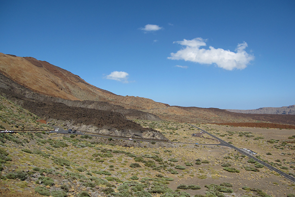
There is also a nice view from there to the many different frozen lava flows of the caldera. Also, it is nice to ride up there, because when you arrive all the tourists stop looking at the Teide, and they start staring at you, with shock and amazement on their faces, trying to imagine how it is possible at all to bike up there :D

The descent was nice as always, with nothing special happening, except for being stuck behind a couple of slow cars for quite a while, so I had to use my brakes much more often than I usually do…

I managed to pass three out of the four cars one by one, and I was just about to pass the last one too, when we entered the cloud layer, but as the visibility was really bad, I decided to stay behind… It is better to have a car driving in front in such conditions, because they need more time to react on curves, so basically they enable you to ‘feel’ a longer stretch of road ahead. And cars have front lights, and I did not have one… I made it back to the hotel with minor fatigue, so I was quite happy with the ride. Still, I took another rest day on the next day :) GPS details can be found here.

Tour of Tenerife, Stage 2 (133 km, 3100 m+)

I expected the second day to be hard and beautiful, and I was right. It was almost 11 when I left the hotel, and I took the same road (with a small detour caused by road-works) till El Sauzal as on the previous day. The weather was the same, cloudy in the Orotava valley, but warm and humid, then as I left the valley, it became sunny too. So the first third of the first categorized climb (starting at 18.1 km) was the same as on the day before, but then I turned left and continued on a smaller local road towards TF-16:

3.8 km @ 5.6% with a maximum over 100 meters of 11.5% (3rd category)

Some of these small roads – even the ones with local bus traffic – can be pretty steep… Then I got a nice descent on TF-16 all the way down to Tejina. There I probably missed the main road and made it to TF-13 on one way roads through the city center, already starting the next ascent of the day (oh, because there were only ascents and descents, basically no flat sections…) at 30.64 km:

14.9 km @ 5.4% with a maximum over 100 meters of 9.7% (1st category)

This was the ascent up to the top of the Anaga mountains, which is the oldest part of Tenerife. And also one of the most humid parts (along with the Orotava valley). There are almost always clouds above the northern part of the mountain range, and right after these clouds roll over the ridge, they disappear. But parts of the ridge are always in the cloud layer, with strong winds blowing from the north. The ascent is long, but not too steep, with really good road quality and nice views. And some amazing switchbacks (here an excited family asked me if I was a professional, and then they were completely amazed when I said no – I still had some power in my legs at that point :D)!

I was really happy that the road went through the forest, because the first part of the climb after leaving Tejina was extremely hot, and I did not feel too good about that… I think my biggest problem this week was/is cycling in the heat. I can not handle that too easily. I never had problem with humidity, rain, wind, but I have difficulties in extreme temperatures. After reaching the top of the 1st category climb, I left the main road for a quick visit to the Pico del Inglés, to enjoy one of the best views towards the island from there (the lights would have be better on the morning, I know).

After I left from here, the road disappeared into the cloud layer during the descent (with some ascending sections to break the monotony), and the temperature dropped significantly. As expected, it got pretty windy too.

Then after 3.5 kilometers of up and down, the real descent started, with the same smooth asphalt as on the ascent, so it was a pleasure to roll down there. The road is only 1-1.5 lanes wide with more space in the curves, but the traffic is negligible, so it is not a problem. Then going further away from the ridge you leave the clods, and encounter one of the best views of the island. It is really hard to stay concentrated on the road, and still enjoy the scenery around you.

There are so many curves, that there is basically nothing else, but curves for kilometers. I knew I would have to come back up on the same road, so I was not really happy about the massive tailwind at this point, though for the descent, it was really nice after I left the very curvy section behind. At the end I arrived down to San Andrés, and stopped just before reaching sea level (going all the way to the waves would have been a bit tricky, so I did not do that). I refilled my bottles with cold water and enjoyed an ice cold Cola here ;) It was really refreshing (and I am not payed for this)! Then I turned back, and started the second part of the day – riding home the same way I came. This was I immediately started my next climb at 69.15 km:

14.7 km @ 5.5% with a maximum over 100 meters of 13.5% (1st category)

I saw a mountain biker at approximately a minute or a bit more ahead, so I though I might try to catch him. Unluckily the headwind was really terrible, and I started to feel some pain in my right knee, so I had to slow down a bit – or risk getting an injury… As I did not want to go home in a taxi, I slowed down (and felt the shame for not being able to catch him). I really struggled on this section, the slope was only 6%, but the wind made it much more difficult.

Luckily I got some rest when the road turned around in one of the many switchbacks, but it did not last long, as the main direction was still against the mountain, and the wind was blowing downwards along the slopes.

Still, the view was amazing. I have a video from this road, check out the first five minutes here. I even had to stop once before reaching the top, because the wind was blowing just too strong. Then I arrived to the top and entered the cloud layer again.

Here, for the 3.5 kilometers between the ‘top’ and the start of the next shorter climb to the real top I had a family driving in front of me, and they were filming me from the back of their car ;) Too bad I will never see that movie… They stopped when the next climb started, so it was again only me and the mountain from 87.11 km:

3.5 km @ 5.8% with a maximum over 100 meters of 8.9% (3rd category)

I felt really weak and slow, and probably both were true. I realized that I did not eat enough during the last hours (only one and a half energy bars for 4 hours of riding!?!), so I stopped and had a bite, bit it did not really help… Luckily the top came quickly, and then I had a long descent down to Tejina… That was good as always, but as soon as the road turned uphill again, I had to take a break. A relatively long one, to eat all I could (energy bar, energy gel, calcium and magnesium – so nothing too delicious, but a lot of energy…). After this I started the next ascent at 106.67 km:

7.2 km @ 4.1% with a maximum over 100 meters of 7.8% (3rd category)

Luckily it was an easy ascent and I started too feel better slowly, as my heart rate finally rose to a zone which was OK for climbing, but I could not stop thinking of a well deserved rest day for the following day. I really wanted to be back at the hotel. Then again, I had a short descent from TF-16 to El Sauzal, only to start the last climb of the day at 117.7 km:

3.0 km @ 5.4% with a maximum over 100 meters of 12.1% (4th category)

This road brought me over the TF-5 motorway, and then the rest was basically a continuous slight descent, except for two short sections before and in La Orotava. I had to make a last effort to climb up a very steep cobblestoned road just before my hotel (so I felt like in Belgium), but then I was very happy to get off the bike. I felt completely empty. I should have eaten much more in the first four hours, because having 6 categorized climbs is tiring even with proper nutrition… From this post it might seem that I only remember the hard things from this day, but I have to assure you that it was a very beautiful ride, and I am happy that I made it ;) GPS details can be found here.

Tour of Tenerife, Stage 1 (106 km, 2500 m+)

Today after I approved the buffet breakfast of the hotel, I left for the first longer ride. I did not leave too early, only after 10 AM, because I knew it would be more than enough. The weather was normal, cloud layer at around 800-1000 meters, so not sunny, but humid and warm. I had downloaded my plans for the day to my Garmin Edge 500 cycling GPS, so I did not need a map, I only had to follow the track displayed on the screen. This was extremely useful (and stressful too – but I will talk about that later), because La Orotava is full of one way streets, and finding the way out from here is not that easy. Also, cycling along the North coast of Tenerife to the East from La Orotava is not that easy when you have to leave out the TF-5 highway from your plans, because there are not that many roads besides that one. I took the TF-21 and TF-217 roads (with slight ups and downs, but nothing very serious), then after crossing above the highway, I rode to El Sauzal. Here after a short downhill, the first ascent started at the 16.79 km mark.

7.5 km @ 4.2% with a maximum over 100 meters of 13.7% (3rd category)

The average gradient does not tell the whole story, because there were long and painful sections above 10%, but the rest was not that difficult. Still, it did hurt. Meanwhile the Sun appeared from behind the clouds, so it started to became a bit too hot too. Then from the top, there was still a bit of rolling terrain, but soon the descent started to La Laguna on the TF-152 road. I did not spend any time in the city (I did that last November already), but I turned directly towards the Teide instead. After a quick bite (from my energy bars), I started the long ascent towards the Las Cañadas caldera at the 32.87 kilometer mark on TF-24.

38.71 km @ 4.6% with a maximum over 100 meters of ~10% (HC)

Again, don’t let the average gradient fool you, because there are even downhill sections included in this number! The typical gradient from the elevation plot is around 5-6%, when you only look at the uphill sections. But on top of the length, and the constantly changing steepness, the main difficulty was the temperature above 1900 meters, where the road leaves the beautiful pine forest behind, and enters the rocky volcanic desert of the Teide. Also, this is the point where the road quality basically stops to exist, because while the asphalt is extremely smooth during the first half (it is a pleasure to ride there), it becomes cracked and worn for the second. But the view above the cloud layer is truly amazing.

I could have taken hundreds of pictures, but I have already a lot from these islands, so now I only take a few for the blog, and try to concentrate on the biking itself instead. As I climbed higher the temperature also ‘climbed with me’ (my GPS showed 38°C, which was clearly not the real air temperature, but it felt like that), the Sun was shining extremely strong, so there were moments when I did not feel perfectly ok, even though I was riding with a zipped down jersey and I had enough liquids with me. It was very difficult during the last kilometers.

To make thing worse, around halfway into the ascent I realized that I forgot to pack my small toolkit and my small pump, so from that point I made sure I don’t ride over anything sharp… Luckily I had no flat tire during the day (and now I have already prepared these for tomorrow). The highest point for today was the entrance gate of the Observatory!

From here, it was basically a descent of more than 30 kilometers till home, which I enjoyed a lot of course, especially because the road quality was also quite good (TF-21). The temperature got much cooler when I entered the cloud layer, which felt really refreshing after the hours I spent riding in the scorching hot.

Thanks to the GPS (and my planning) the last road in La Oratava was a tiny, extremely steep (~30% or more) cobblestoned one way street, where I was really doubting if I would be able to stay on my bike, and stop at the end. Luckily, I did succeed in both, though getting off the bike was not easy on the slippery stones. Then the last stressful moment came when I wanted to save the ride in the GPS, but at first sight it seemed that it did not work out… At least it did not show up in the history, so I got a bit sad/angry, because loosing the data of such a ride would have ben really painful for a geek cyclist like me :) Luckily when I connected the GPS to my MacBook and tried to see if I can save something from the memory, the ride was there, and I managed to upload it to Garmin Connect! It was a huge relief. But this is not the first time that I have problems when I use the follow course option with the GPS, so it seems to me that when the GPS thinks that I left the course (because of, e.g., reception issues) then it has trouble recording data while it is trying to relocate itself along the course, and this leads to 1) minor data loss (I can see that in the file), and 2) problems with uncorrupted file-creation. So I will not use this ‘feature’ in the future, because I really don’t want to loose any data… I will have to follow road signs instead, like we did back in the previous century :D

Ps.: I have a feeling that being in Spain for three weeks and barely speaking to anyone in English has a terrible effect on my English, apologies for that…