After almost 5 years of more-or-less continuous operation of my DIY weather and air-quality monitoring system, I decided that it was time to do something else with my Raspberry Pi, so I spent an evening on making a small, live METAR map of Belgium (and Luxembourg). I used the same hardware as in the previous project, you can check that out via the link above.
I simply placed the airports that provide METARs (Meteorological Aerodrome Reports) via the free CheckWX API on the low resolution matrix display (by selecting the most appropriate pixel, keeping especially the relative positions correctly represented), colouring each selected pixel according to the current weather condition, ranging from purple (LIFR – the worst), via red (IFR) and blue (MVFR), to green (VFR – this is what we like). This minimalistic display works very well, if you are familiar with the shape of Belgium and the location of the airports.
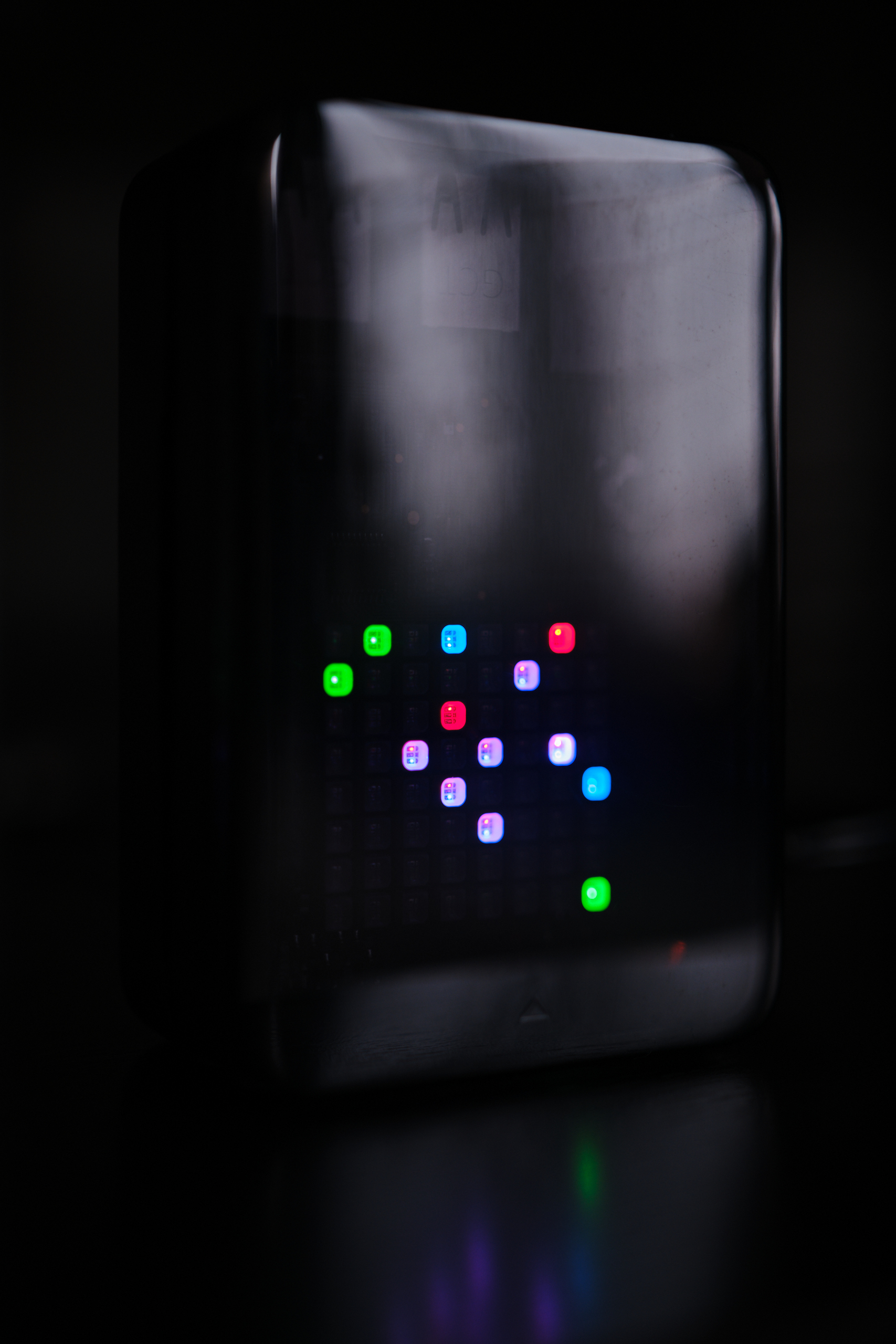
The coding is pretty lazy, but it does what it needs to do. The only extra feature that I added besides polling the API every 2.5 minutes (to stay inside the daily limits of the free tier of the API) is that the brightness of the LEDs changes according to the time of the day (or the altitude of the Sun to be precise): they get slowly dimmed approaching and past sunset so that the display is not disturbing at night (as it is placed under our TV).
It is nice to see the changing weather from the couch without having to check my phone :)