Tag Archives: nyaralás

A week of cycling fun on Mallorca

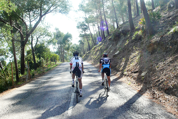
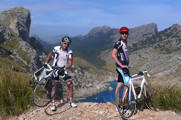
Yes, I know, I am really lagging behind my life with the blog, but it is not dead yet. So to cut the unnecessary chatter short, I have been on a cycling holiday finally not alone, but with other people! I know, sounds unbelievable, but several photos and videos prove that Tijl and Thomas were my company.

We have spent 7 amazing days on Mallorca from the 29th of April till the 5th of May. Our headquarters were in Port de Pollenca in an amazing seaside villa (where we all had our private bedroom and private bathroom – early season prices are really low…), so every morning we had breakfast on the terrace (which was a bit chilly, but as soon as we managed to get some sun on our skin, everything became better), and every evening we had a stroll along the beach to the ‘city’ to have dinner in our local Pizzeria (where the service got better and better as we kept going back every day – so the last evening it was the chef himself serving us). I have to mention here, that they have the best brownie (warm brownie with nuts and raisins inside served with vanilla ice cream…) on the planet. Period. Then we usually went to the market square after dinner to get our daily internet and upload our rides to Garmin Connect. Then we went to sleep. Which was very well deserved every day…

We made loads of movies with my helmet camera (which was installed on one of our handlebars), which I still have to edit and cut together, but I need a bit more time for that, as there are other things in my life too… But the footage we got is really cool, believe me. The scenery was amazing, the weather was nice, the company was great, so we had loads of fun.

I have already ‘killed myself’ on the first ride of the first day, racing to the lighthouse, which did not feel too good (I was somewhere in between throwing up and fainting, luckily neither of these happened), but my form quickly shoved, so all the hard training of the first four months was proven to be very useful. Although Tijl and Thomas had much less training and they are also a bit older (sorry… :P), it still felt good to be the strongest of the three. Still, Thomas was a great climber (who always managed to stick with me so I could only ‘win’ the climbs with a sprint at the end – thanks to my fitness level), and Tijl is just crazy amazing on the descents (so technically impossible to follow for people with no suicidal tendencies :D). Also, Tijl’s English breakfast was first class. We should have had it on every morning ;)

Here are the links for all the rides on Garmin Connect: Day 1 morning (to the lighthouse) and Day 1 afternoon (small flat circle), Day 2 (long flat ride), Day 3 (Sa Calobra – big competitive climb), Day 4 (small flat rest day circle), Day 5 (extreme stage), Day 6 (long flat till the climb of Cura), Day 7 (morning good bye ride to the lighthouse). Total of 645 km with 8200 metre of elevation gain, 18 000 Cal burned. It was an extremely nice holiday, and it was extremely crappy to arrive back to the rainy Charleroi in 6°C… :D I could write pages of this holiday, but this was really something you have to experience as a cyclist (all the discussions about bike parts, following ‘The Rules‘, passionate bike cleaning, etc.), and not read about it. I will be back somewhen with the videos too! Update: here it is (set it to 720p).

Riding up to the Mont Ventoux (and more)

There are iconic climbs in road cycling, and probably the most known ones are the Col de Tourmalet, the curvy road of Alpe d’Huez, and the vindy ascent of the Mont Ventoux. These are not the most difficult climbs (like the north side of the Roque on La Palma is way more difficult – steeper and longer -, and you can find the almost exact copy – in terms of steepness and length – of Alpe d’Huez also on the island) of the World, but these are usually decisive places on the Tour de France. The yellow jersey is won on these slopes. They have a long and exciting history.

As I already mentioned in the last post, I got invited by Valery (who is now a PhD student in Gent, but who finished her Master in Astronomy during the first year of my PhD in Leuven) to join them (her boyfriend and some family members) for five days in France, where one of the days would be a climb to the Mont Ventoux. How on Earth could someone say no to such a thing? :D

We left from Limburg around six on Monday morning, and I spent most of the ride sleeping, so the almost 1000 km to our residence near Grospierres went by relatively quickly. The apartment was a bit smaller than we expected, but we had no plans to spend a lot of time inside, so we did not make a big fuzz about it. On two of the evenings, we had the buffet dinner of the resort, which was really delicious, and usually made me almost unable to move ;) There were also several pools, so the children and the non-cyclist adults also had fun on the spot.

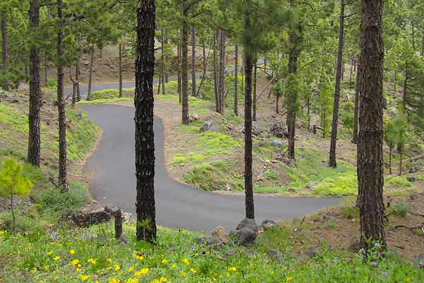
As the weather was not the best on the first days, but the weather forecast was really promising for Thursday and Friday, we scheduled the ascent of the Mont Ventoux for the second part of our stay. (Side note to myself: make a lot of money – or love, as a sub side note -, and forget this economy class flying, because it starts to be a bit annoying… We are somewhere between Madrid and La Palma while I am writing these, and there is absolutely no leg-space on this plane… But back to the story…) So after the first night, I decided that it was time to try out my knee, to see what I might still free from the accident I had on Saturday. I had a 47 km ride alone into the nearby gorge (which was really amazing, as at one point, the river flows below a magnificent arch of rock which connects the two sides of the valley), with an average speed of 33.4 km/h and basically no pain in my knee, so I was quite convinced that I won’t have any problems with it later that week (as such average would have been really good even on my flat Leuven – Mechelen – Leuven training route). Almost immediately after arriving back to the apartment, I went for another ride with Jurgen. It was a much more calm ride of 74 km to a relatively nearby bike store, where he could get the specific bike parts he needed, and I could buy a new rain (and wind) jacket, as my old one was torn in the accident (and that was not even windproof). Speaking of the jacket I made a very good purchase, because it was not only relatively cheep, but I made use of it immediately, as on the return leg we got quite some rain starting at the exact moment when we left the store ;) 10 km from home we caught Jurgen’s father, who was riding all the way from Belgium! On Wednesday Jurgen wanted to rest, so I went on a ride with his father. It was 68 km with an elevation gain of a bit more than 1000 meters (through a beautiful pine forest, with rocks and flowers on the ground level), but with low intensity climbing, as neither of us wanted to use too much energy before the big day. The roads (even the smalles ones) in this part of France are generally very good quality and quiet (especially the small mountain roads have very low amounts of traffic), so we enjoyed the ride very much despite the rain we got here and there. I hope I will be in the same shape as Jurgen’s father when I turn 67… On the descent I had the feeling that he took too much risk, as at a very curvy section I got dropped, but I preferred to take it slower especially because of the wet road (and because one accident per week is already more than enough). From the point where the road got straighter, I went back in front to lead the group (of the two of us). For the next day, we set the alarm clocks to 6:30 AM, as we wanted to do the climb before it gets too windy and hot on the afternoon.

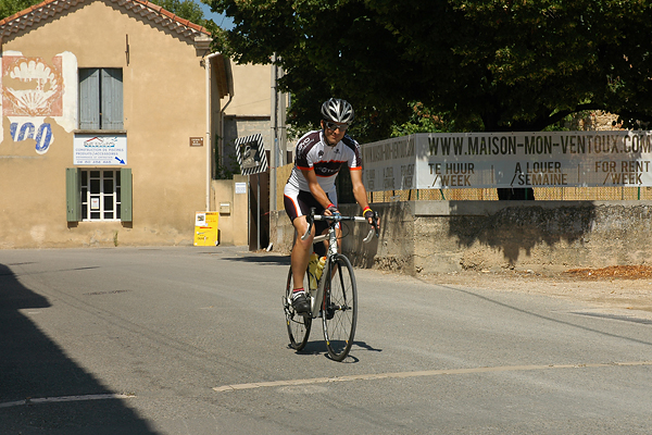
As the holiday resort is situated a bit more than a 100 km from Bédoin (the village where the most difficult of the three ascents of the Mont Ventoux starts), we still had to spend two hours in the car before we could start the ride. After one hour the Mont Ventoux started to became visible, as a huge pyramid standing high above the vast plains between the Alps and the Massif Central. It was a majestic sight. We hopped on the bikes 20 km from Bédoin to have a proper warm-up before the hardcore part of the day. One hour later (and already ~250 meters higher) we arrived to the start line, which is literally an old line made out of stones across the road – the 0 km mark of this legendary climb (some people start 400 meters further out at the Bédoin road sign, that’s why the official distance from the Tour de France in 2009 is ‘only’ 21.1 km). We had enough time to think about the climb (at least that’s what I did) during this warm-up section, as the rocky, deserted peak stood high in front of us all the time, getting higher and higher as we approached the start… Here we discussed the strategy for the support car (as Valery and Jurgen’s mother was our support car staff for the climb, which was pretty nice), filled our bottles, prepared our replacement bottles, energy bars, and everything we might have needed later on. Then around noon, we started the climb (see photo of me crossing the start line, while starting the recording of the climb on my Garmin cycling computer – precision is very important). The data of the ascent is here, while the descent is here.
My plan was 1 hour and 40 minutes, as this was the time Tijl had when he did the climb before his PhD defense. Of course I wanted to be faster ;) He was not in his best shape back then, but now I was less then one week from a quite serious accident. I did not want to look at the time (that’s frustrating), so I had not have it displayed on the GPS, but I just wanted to give the maximum effort I could, and see the resulting time only on the top. So the only thing I had to concentrate on was to keep my heart rate around 180 BPM. That’s the maximum I can keep for such a long time, above that I start producing too much lactic acid in my muscles, which makes you tired and slow pretty quickly. As you can see it on the elevation profile (click for larger version) the ascent consists of 4 main sections.
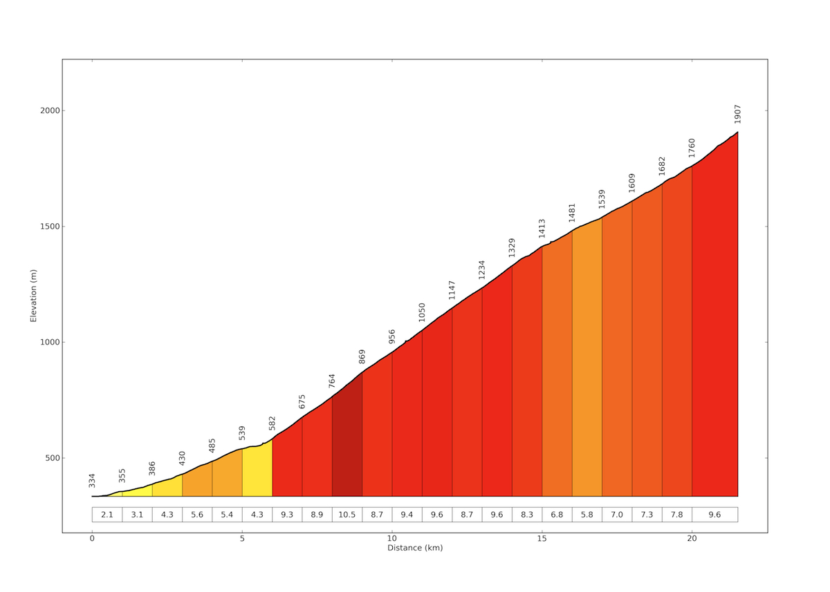
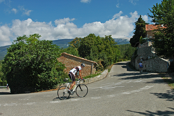
The first 5.5-6 km is very easy, so the plan here was to go as fast as possible (ok, basically this was the plan on all sections, but still, people tend to not pedal really hard before the climb gets really serious). Then from the first switchback (and the first checkpoint with the support car – where they did not expect me that early, so they were not yet standing on the side of the road when I arrived there…) to Chalet Reynard, kilometer 7-15 through the forest is really difficult with an average gradient of 9.2% for 9 kilometers, and with kilometer 9 being 10.5%, this stretch of the route is really something to survive.
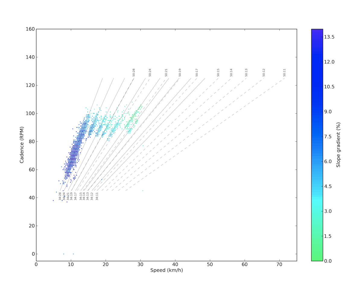
You can see it on the plot below that on such steep climbs I can not keep up my cadence in the optimal ~90 RPM zone, so on the easiest gear I have much lower cadences too. In the first section I could just keep my optimal cadence and shift gears according to the gradient, that’s why you see the nice compact distributions along the different gears other than the easiest, where the distribution is elongated towards the lower values. (My earlier posts about these plots can be found here.)
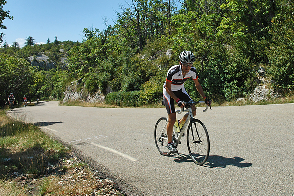
We had the second checkpoint in the middle of this section, and the last at the Chalet Reynard, where I also put my jacket in my pocket, as I knew that because the support car has to wait for the last one of use, they will not be on the peak when I arrive there (and you don’t want to stand there in the cold wind without a jacket). The good thing was that I kept passing others and no cyclist passed me, though there was a guy with whom I went together for quite a while, and we really played the game of he dropping me and me catching him for kilometers (then on the last section he bonked, and I flew past him).
The third section comes after Chalet Reynard and lasts till the last 1.5 km, with gradients below 8%, and with a kilometer of only 5.8% around 1500 meters above sea level. Here it started to be a bit colder and the wind got stronger because at this point the road leaves the forests and continues through the rocky deserted yellowish grey landscape of the Ventoux. Also, the tower on the top stays visible till the end of the climb from this point. These kilometers – especially after the steep road of the forest – seemed to be really easy, so I had the feeling of going pretty well. Then the last 1.5 kilometer is again 9.6% and the steepest 100 meter section comes also here with a shocking 14.0%…
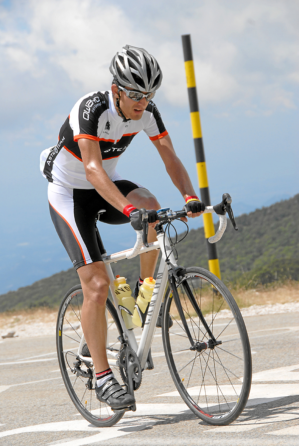
There were three points where photographers took pictures of basically every cyclists, and then gave you their business cards (with the time and date, or even a specific ID number printed on), so later it was possible to find the pictures, and purchase them online for a lot of money. Really, a lot. But they made really cool pictures, so I had to buy the ones above and below.  (And thanks to Valery for the other pictures and the support!)
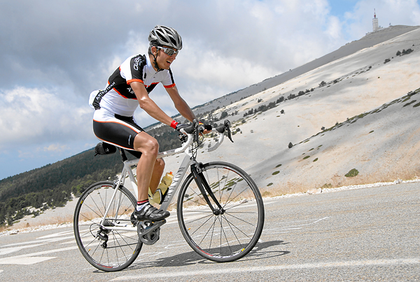
The last curve is very steep again, but then after 21.5 kilometers of climbing at an average of 7.3% (HC climb beyond any question), you arrive at the top of Provance. Which is extremely crowded… It’s like Mecca but for cyclists. I arrived on the top completely exhausted, and stopped the timer on 1:38:41, which was a bit more than 1 minute faster than the plan, so I was extremely happy. And tired. This was my fastest HC category climb till now.
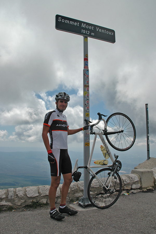
On the peak it was very windy and cold, so I put on my new jacket and stood next to the building where the conditions were less harsh… At a point a guy asked if I was from Leuven, as it turned out he was the one I rode along with for a very long time on the Brabantse Pijl earlier this year. The World is a tiny little place, isn’t it!?! Then at the point where I really started to be cold the support team finally arrived (the others had a time around two and a half hours), so I could put on all my warm clothes (arm and knee warmers, etc.), before we started the descent. Now that was fun! I had an average speed of 50 km/h to Bédoin, following a Dutch car (but not in its slipstream). Then we rode back to where we started that morning. None of us had problems with sleeping that night ;)

On the last day we went for a shorter and only slightly hilly ride of 48 km. There was very strong (~40 km/h base with gusts up to who knows what) headwind for the last kilometers, but with my last energy reserves, I led the three of us home with ~30 km/h, which was quite well apreciated by Jurgen’s father. Then on Saturday we drove home, and luckily all the traffic jams were in the other direction, towards Marseille and the sea. With all this biking, July became my best month with 1256 km on the racing bike (so the cruising around Antwerpen with Elise on a Dutch bike on the last Sunday is not included :D). It was almost 400 km more than the previous best, and it was third af all the road cycling I had last year. It was a very nice month :)
Cycling on La Palma – Day 4

On Saturday I again took the day off, just watching the Giro d’Italia, and eating :) Somehow I could also enjoy these rest days, just by really not doing anything. Though these days were a little bit lonely… Anyway, for Sunday I planned an easier ride to finish nicely my cycling holidays on La Palma. Of course when I say easier it is very relative. Because indeed, easier than biking up twice to the Roque de los Muchachos, but compared to that, everything might seem easy. But keep reading, and you will see what I am talking about ;) After getting up at 9:30, I only managed to leave a bit before twelve – partly because it was raining, partly because it was so good to just lay down in the couch :D First, I had the same short climb as on Day 1:

6.59 km @ 5.6% with a maximum over 100 meters of 8.8% (3rd category)

Though I felt like making a good effort, I was a bit slower than on the first day. But I guess it is ok after such a week on the bike. Then after a short near flat section, the big climb (up to El Pilar on LP-203, though I think the road numbering is not the same in real life anymore) of the day started at km 10.41:

14.17 km @ 8.0% with a maximum over 100 meters of 12.9% (HC)

I was not avare of the fact that it will be this hard. I though it would be a 1st category climb, with a much less steep gradient, so I was a bit surprised when I had to face reality. But it was a world class ascent. The worst part was between km 7 and 12 with the following gradients (over 1 km): 9.5, 10.8, 9.3, 9.0 and 10.1 percent. And to make things worse, as I entered the cloud layer around the elevation of approximately 800 meters (so around the beginning of the really steep part), the visibility dropped to 100 meters, and the temperature to 11°C.

At the end of the steep section I have passed another cyclist (who was way older, so not because I would climb like Contador – at least I don’t feel the effect of the Spanish ham too much :D), with whom I had a short chat when he also arrived to the top. It turned out, that he works at the TNG, so it was a day of astronomers on bike ;) He also took a picture of me on the ‘summit’.

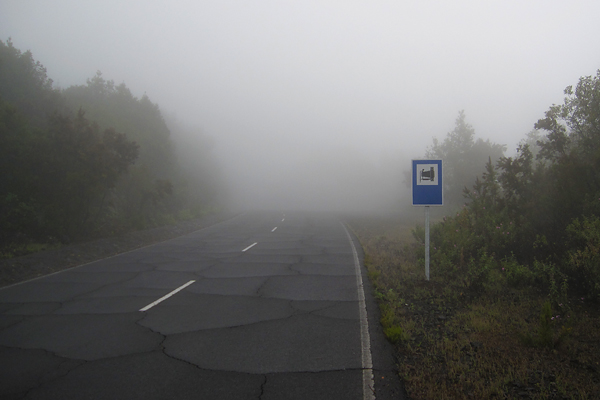
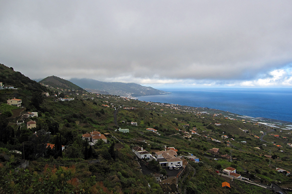
It was cold, in the middle of a pine tree forest, with water everywhere. Clearly 100% humidity. So I put on all my warm clothes for the descent (buying that rain jacket was a huge life-saving idea of mine when I ordered some bike stuff on-line the last time), and started rolling down. I could not see anything from the cloud, the visibility was around 50 meters. I had to put on my flashing red rear lights, though cars could not go faster either… And I was freezing like hell (oxymoron warning here). So from almost 1500 meter ASL I went down to almost 800 m ASL, where I turned right onto LP-202 (again, I believe this is not the real designation anymore, but this is written on my map), to climb up to La Cumbrecita:

5.99 km @ 7.8% with a maximum over 100 meters of 12.7% (2nd category)

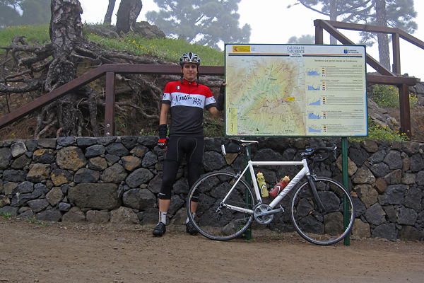
At the beginning of the road a sign said that the path to the caldera is closed, but I kept going. Luckily when I reached the entrance of the national park, the lady at the barrier said that I can go in (and by the time I was coming back, the barriers were even open). This was the smoothest stretch of road which I have climbed this week, perfect asphalt, though only one and a half lane wide. Perfectly enough for me ;)

At the beginning the road was quite straight, climbing higher and higher on the left side of the valley among the so often seen pine trees of the island. A system of tubes carried down the freshwater from higher parts of the natural reserve along the road, and they were leaking here and there, but because of the tremendously high pressure, these leaks appeared as fountains of several meters high ;) The steepest one kilometer had a gradient of 11%, and that was the point where the road got very curvy.

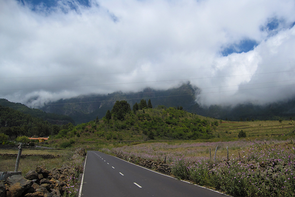
Unluckily the top was again in the cloud layer, so instead of the amazing view to the inside of the caldera I saw a grey wall and nothing else beyond :(

But it was a very nice climb, so it was worth going up. And the downhill was also very nice on the smooth and quite straight road ;) Then already after leaving the pine tree forest and the national park behind, I had a short period of sunshine when I could look back towards the caldera, but that’s the most I have seen that day.

From here, I still had to climb back to El Pilar, up into the cold clouds, and now even facing the chilly and strong headwind. But it was the last climb.

10.69 km @ 5.9% with a maximum over 100 meters of 10.2% (2nd category)

Luckily this side of the mountain was much easier, though the wind and cold made it a bit miserable. Also the road quality here was a bit below European standards. Unluckily I could not see too much of the numerous volcanic calderas which I have passed here, because all what I could make out was the grey slopes right next to me, but the rest was lost in the mist. I have to admit the situation had a special atmosphere, because the moving (more and less dense) clouds created the illusion of volcanic smoke. Again, on the top it was not more than 11°C, so the descent was freaking cold. And because of the low visibility (50-100 meters all the way down till 750 m ASL) and the wet and steep road, I had to be very careful and break a lot. I did not enjoy it that much… But as soon as I came out of the cloud layer, it was a nice roll all the way to Santa Cruz (where I even had a bit of sunshine to close the day in a sunny mood).

So I finished my last day on La Palma with 82.8 km and 2645 meters of elevation gain (and a pizza of course, as every day this week :D). Yeah, ‘easy day’ :D GPS details here. Luckily I specifically asked for a later connection in Madrid knowing that it is impossible to make it with IBERIA if you only have 55 minutes of transfer time, because now I am sitting in the airport of Tenerife, and we already have a delay of one hour… Yeah IBERIA, damn it!

Thanks for reading, this was the last part :)

Cycling on La Palma – Day 3

After a day of resting, and seeing bikes only on the television, I hit the road again on Friday. The plan was simple: bike around the island. This does not give you too much freedom of choice, because there is basically only one way to do this. I decided to go in the ant-clockwise direction, so I could complete the hardest parts first, and by the time I get tired, only the easy climbs or downhill sections are left to be done. I left around nine (if I remember correctly), and took the LP-1 road towards the North. The weather was not too nice, but based on the satellite pictures I have seen in the morning, I was expecting some sunshine on the western part of the island later on. After a short climb and descent, I have arrived to the first categorized section of the day, starting at the 4.05 km mark, it was:

7.01 km @ 5.1% with a maximum over 100 meters of 11.8% (3rd category)

Basically the first 4 kilometers are hard, with an average of 8% (and some tunnels through the ridges), then the rest is almost flat. But to make it more difficult, halfway into the hard part the rain started to fall, so I had to stop and put on my rain-cover. It lasted for only a quarter of an hour, and luckily this was also the last part I have encountered precipitation during the day. From here, there was a nice descent with views to the sea, with a short climb somewhere in between. There were also road works here and there, so sometimes I had to wait at the red light, because half of the road was closed down. Then starting in Los Sauces, at km 23.7 came the longest climb of the day:

18.6 km @ 4.9% with a maximum over 100 meters of 12.4% (1st category)

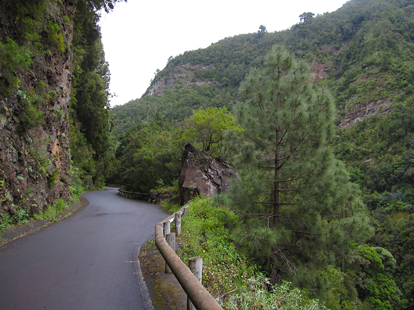
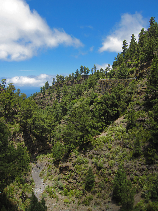
It is a long climb, but not too hard (the steepest kilometer is only 7.8%, and there is no other over 7%). I knew the rod till Barloveneto from last year, but back then I continued on LP-1, and now I took a smaller road (LP-111) which goes a bit higher up. This was a really nice part, with perfect road quality, only one lane, small and dark tunnels through the steep ridges, and with a real rainforest around.

At least it looked like a rainforest while I was riding in the cloud layer, with near 100% humidity, wet road, and water dripping from the trees. I even made a small video at this point :) Oh, and there were basically no cars here! After I have reached the top of the climb, there were still thee shorter uphill sections (with short descents in between), with gradients of 13-15%… The third (and last one) of them even got categorized, starting at 55.75 km:

5.6 km @ 4.9% with a maximum over 100 meters of 10.1% (3rd category)

So soon after hitting the 60 km mark, I already had more than 2000 meters of elevation gain in my legs, which was pretty reassuring given that it was almost 2/3 of the total, while I was not even halfway into the total distance. (Yes, the first part was pretty hard.) I passed the point where last year and two days earlier I turned left to climb (or continue to climb) up to the Roque, but this time I continued straight on. Soon the highly anticipated descent started (with lots of curves in the first part, where my brakes were really loud for some reason), and the sun appeared from behind the clouds too!

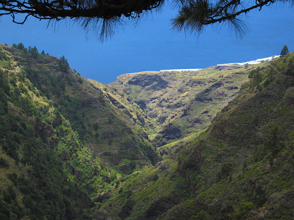
It was almost continuous descent from an elevation of 1200 meter to 100 meter (except for that tricky climb gaining ~200 meters in elevation in the middle), through really nice landscapes, and really great views down towards the sea in the valleys.

One of the most interesting sights was the El Time lookout point, on the edge of a huge canyon which connects the port of Tazacorte with the Caldera de Taburiente. In optimal conditions, I could have just looked up all the way to the Roque de los Muchachos, but unluckily now it was hiding behind a massive layer of clouds. Still the view to the canyon and the curvy road down to its bottom was quite spectacular.

It really is a shame, that the weather was not better. I bough some water in the restaurant here, then started the descent. It was a really great roll down, with the road cutting through the steep rocks which were standing high along the sides and in the bottom of the canyon. Then immediately after reaching the lowest point, the next climb started at the 94.32 km mark:

22.3 km @ 3.1% with a maximum over 100 meters of 8.6% (2nd category)

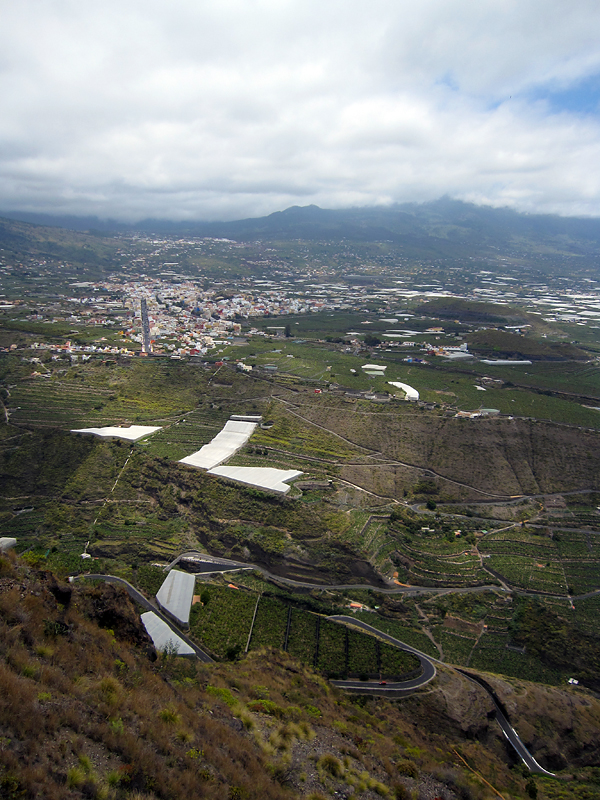
With only the first 4 kilometers having a steeper gradient than 5%, and the rest typically around 3%, it was an easy climb, though the headwind and the fact that I already had lots of kilometer and climbs in my leg made it slightly harder than it might seem to be from the plain numbers. I biked through banana fields, then the colorful city of Los Llanos, from where I continued my journey on the LP-2 road. At the final kilometers of the climb, I reached the famous lava flows (of course they are not really flowing anymore) of this (southwestern) side of the island.

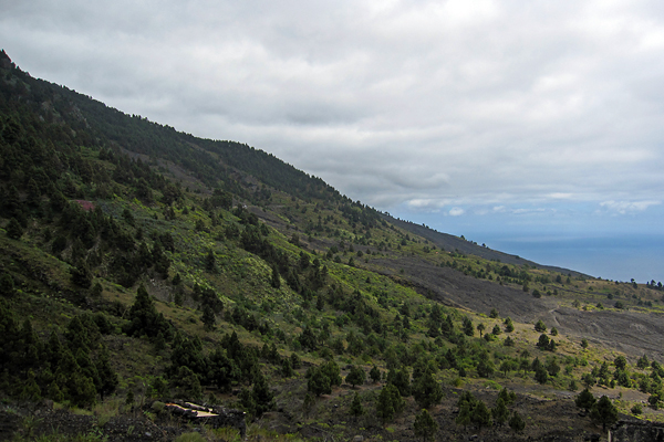
This was again a memorable part of the day, with not just the grey volcanic rivers of rock, but also the rich vegetation around.

Pine trees, cacti and colorful flowers everywhere. Also the road quality was nice, and the car traffic was extremely low (as it is in general on La Palma). It was really interesting to see how the lava flows solidified, preserving the shape of collapsed channels all the way down towards the sea. Then the road turned downhills towards Fuencaliente. From there, I took the same road back to Santa Cruz as on my first ride. I even had a bit of sunshine at one point!

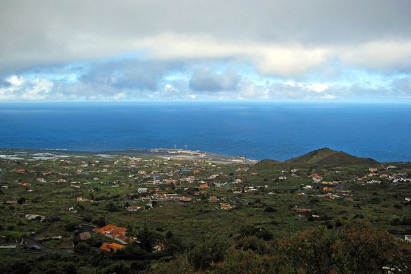
Then I stopped once in Villa de Mazo, because there was a nice view towards Santa Cruz, from just below the cloud layer. It is shocking how deep blue the ocean looked as the clods were only staying above the island, so the reflection of the sky was visible on the open waters – and the fact that the water surface was lit by sunlight made the contrast even bigger.

Also the airport was well visible from this point. Then on the last descent (the curvy road along the remnants of an old caldera just above Santa Cruz – I have climbed it on Day 1, and then on Day 4 again), when I was already happy about accomplishing another big ride, in one curve three dogs started running towards me while barking loudly, so I got a half heart attack meanwhile I was trying to avoid running into the dogs… It was a quite close call (and I can only hope that the Spanish lady was shouting “leave him alone” to her dogs, and not “catch the cyclist” :D).

So I arrived back to La Palma after 154.1 km and 3246 m of elevation gain. It is really amazing, that I just rode around the island and still I had more than three kilometers of elevation gain. No wonder La Palma is known as the steepest island of the world. Even if you go around, you can not just follow the shoreline, because sometimes even the lowest road has to go over a 1000 meters in elevation, to make it through a lava flow, or a gorge, or a ridge… But again, it was an epic day! (And again, I had company from the NOT for dinner, so no eating alone!) GPS data of the day can be found here.

To be continued…