Tag Archives: rts2017

Road trip Scandinavia: Day 7 (Sognefjorden, Aurlandsfjellet route, and the Borgund stave church)

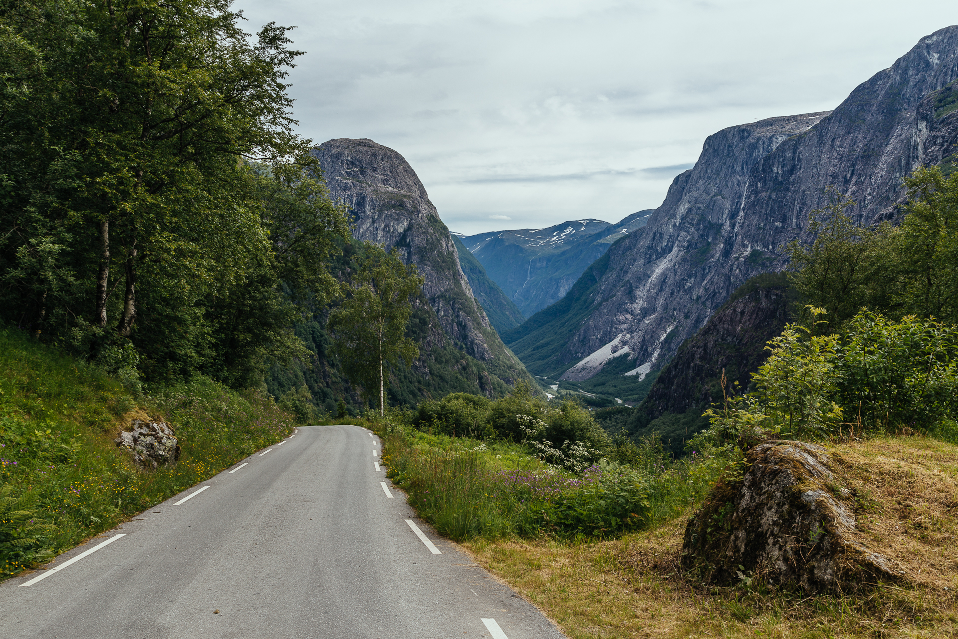
Today we left our great AirBnB apartment around 09:00, and started driving Northeast from Bergen. The weather was still quite warm all day long (around 20°C), and while it stayed dry, we rarely saw the sun or the blue colour of the sky. Our first stop was at the Tvindefossen, which was pretty, but after all the huge waterfalls two days ago, we are not so easily impressed anymore in this category. Later on we left the E16 for a short while to drive down through the thirteen hairpin corners of the steepest road of North Europe, the Stalheimskleiva. It is 1.7 km long with a 20% gradient (and so narrow that it was turned into a one way road not long ago), and the views from it towards the valley below are quite amazing.

20170701_Roadtrip-1

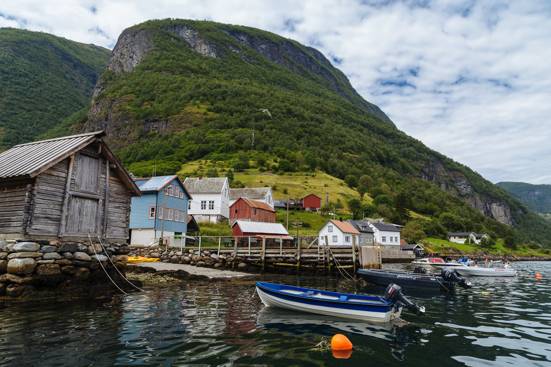
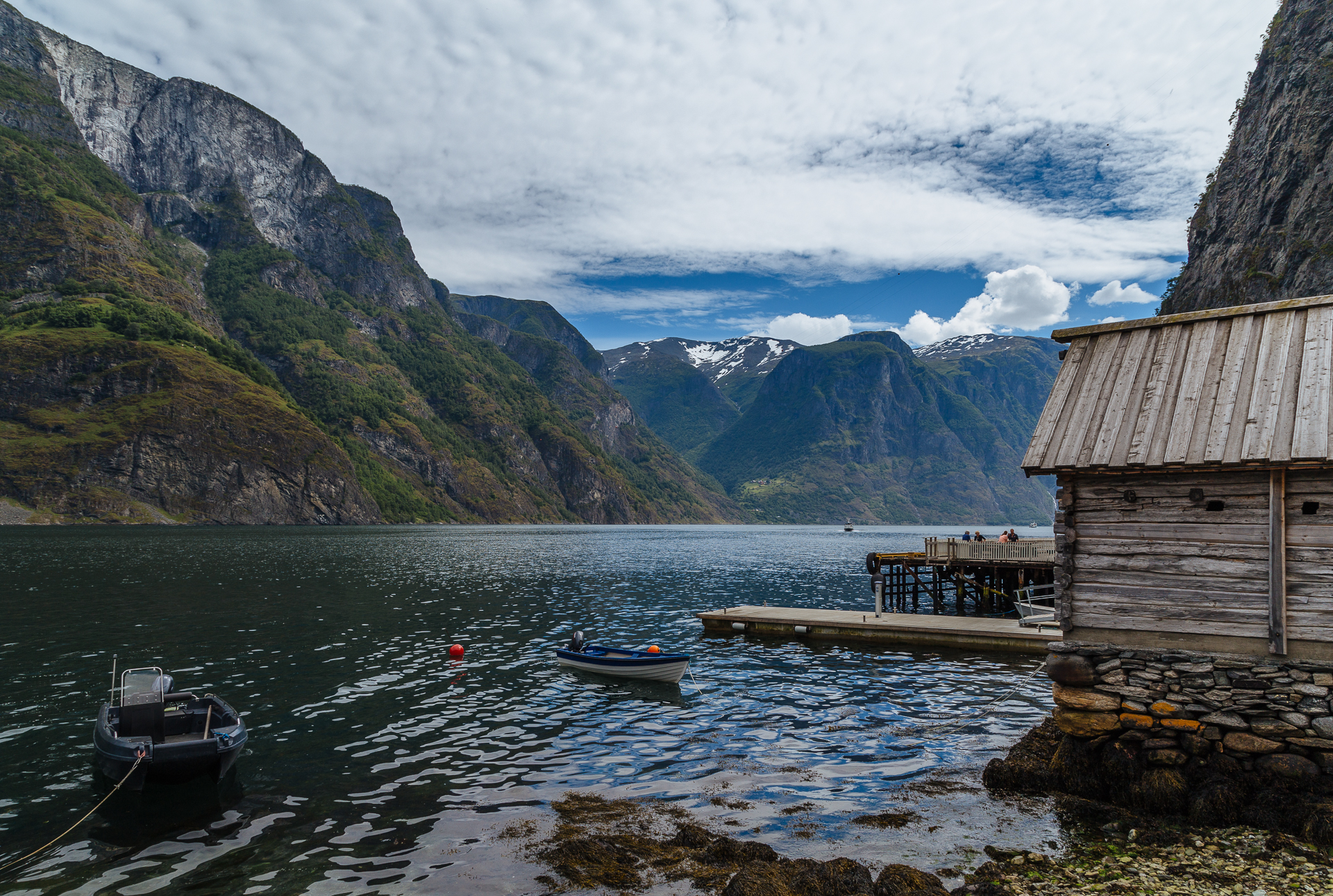
Afterwards we made three stops at different endpoints of the Sognefjorden (one of the largest fjords in the world): at Gudvangen (for a hot dog), in Undredal (for very pretty views in a small and quite town, that is skipped by most people so it is still mostly untouched by tourism), and Flåm (to get a nice pastry and then run away from the Chinese and American tourists). The original plan was to take the Flåmsbana train here, but Clio told me the day before that she would not really want to do it (maybe the years of commuting to Brussels have taken their toll on her), and since I have already done it once in my life, I did not mind not doing it again at all. At least I had more time to stop for pictures along the road later on.

20170701_Roadtrip-2

20170701_Roadtrip-3

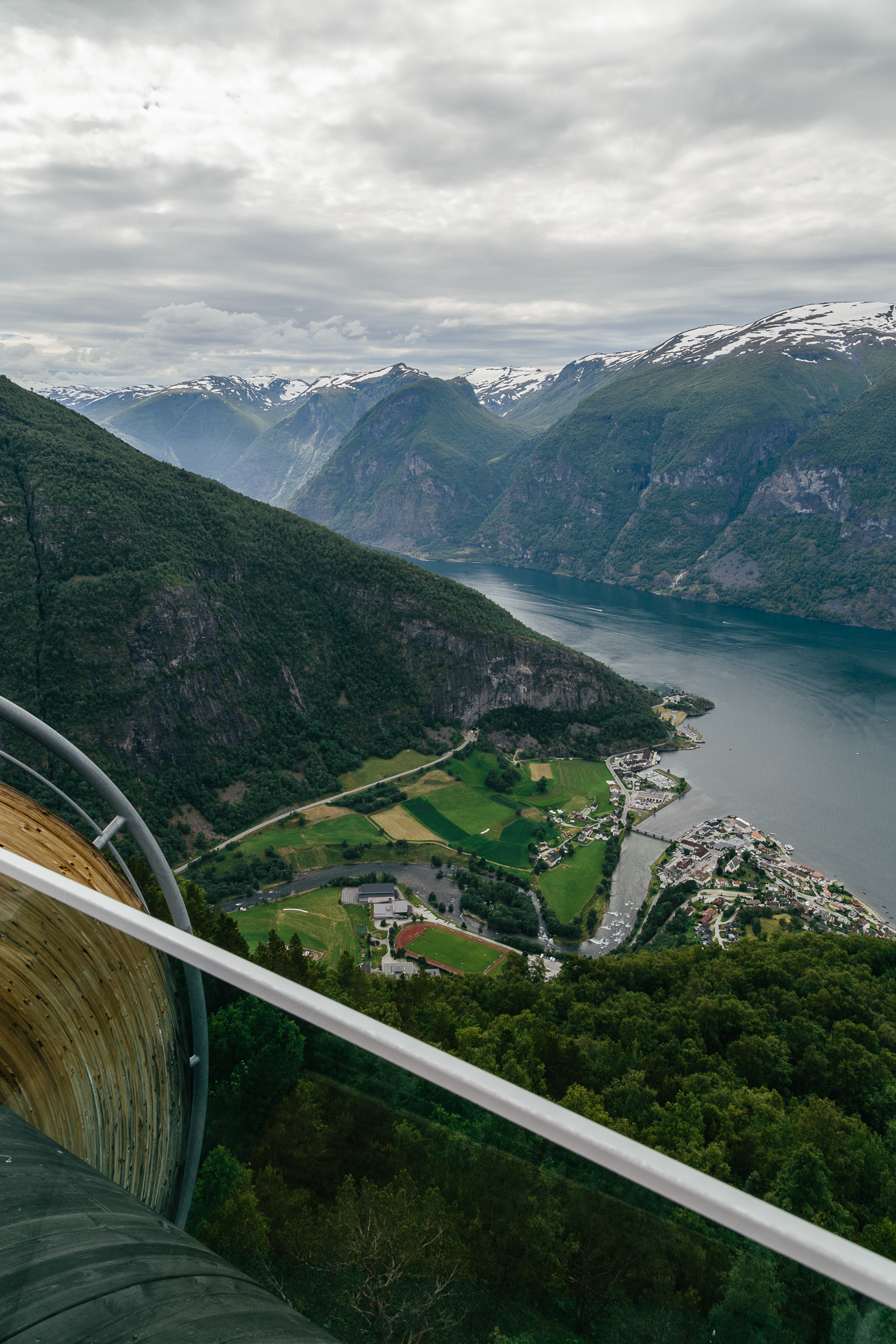
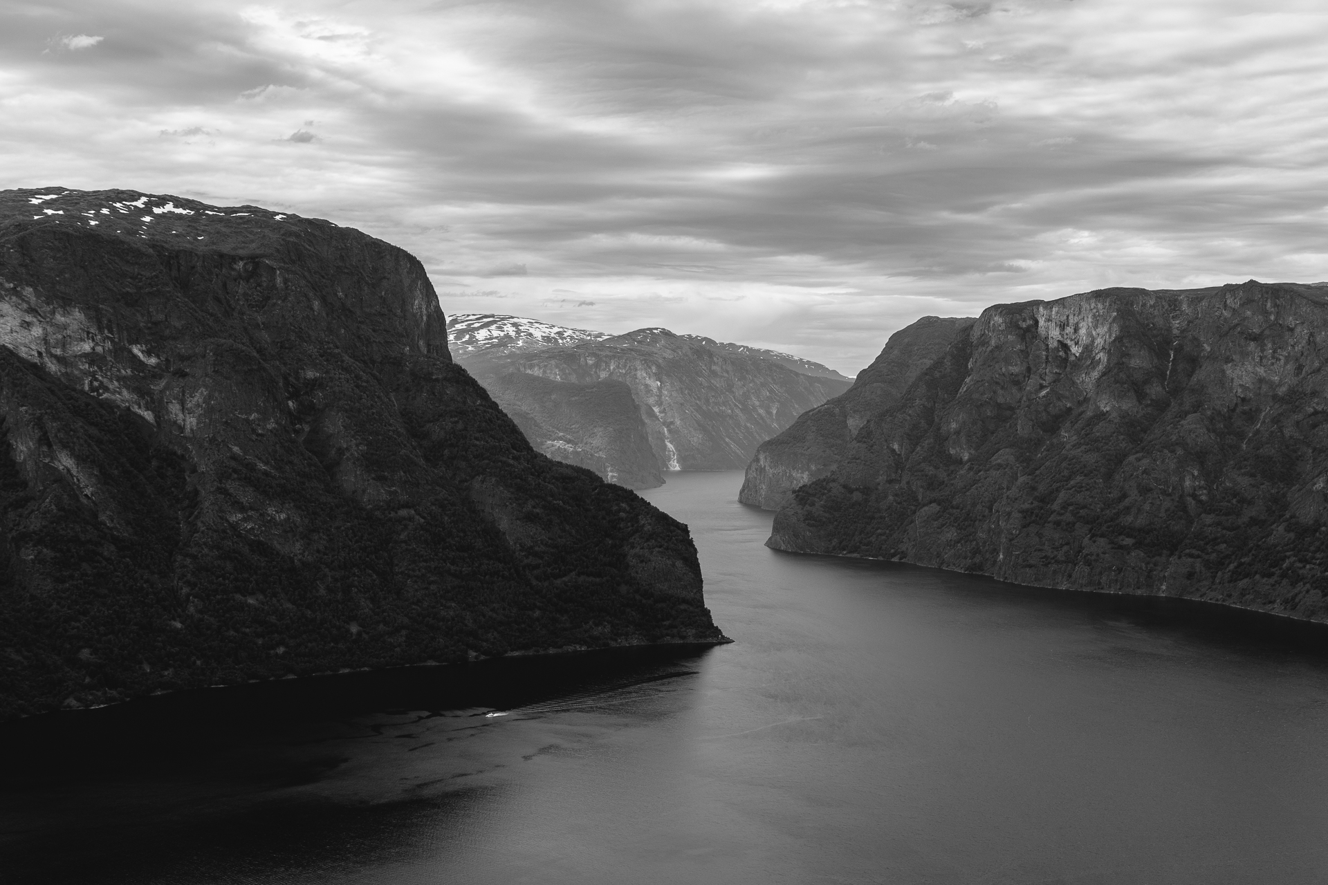
From here we drove on to the Aurlandsfjellet National Tourist Route. The first section of the road that climbs up to the Stegastein lookout point is only one lane wide, so there were many occasions where I had to reverse back a few metres into a broadening to let the oncoming traffic pass. They said that the Stalheimskleiva is not for novice drivers, but this road was much more demanding. The views from the lookout platform over the fjord and the mountains were magnificent.

20170701_Roadtrip-4

20170701_Roadtrip-5

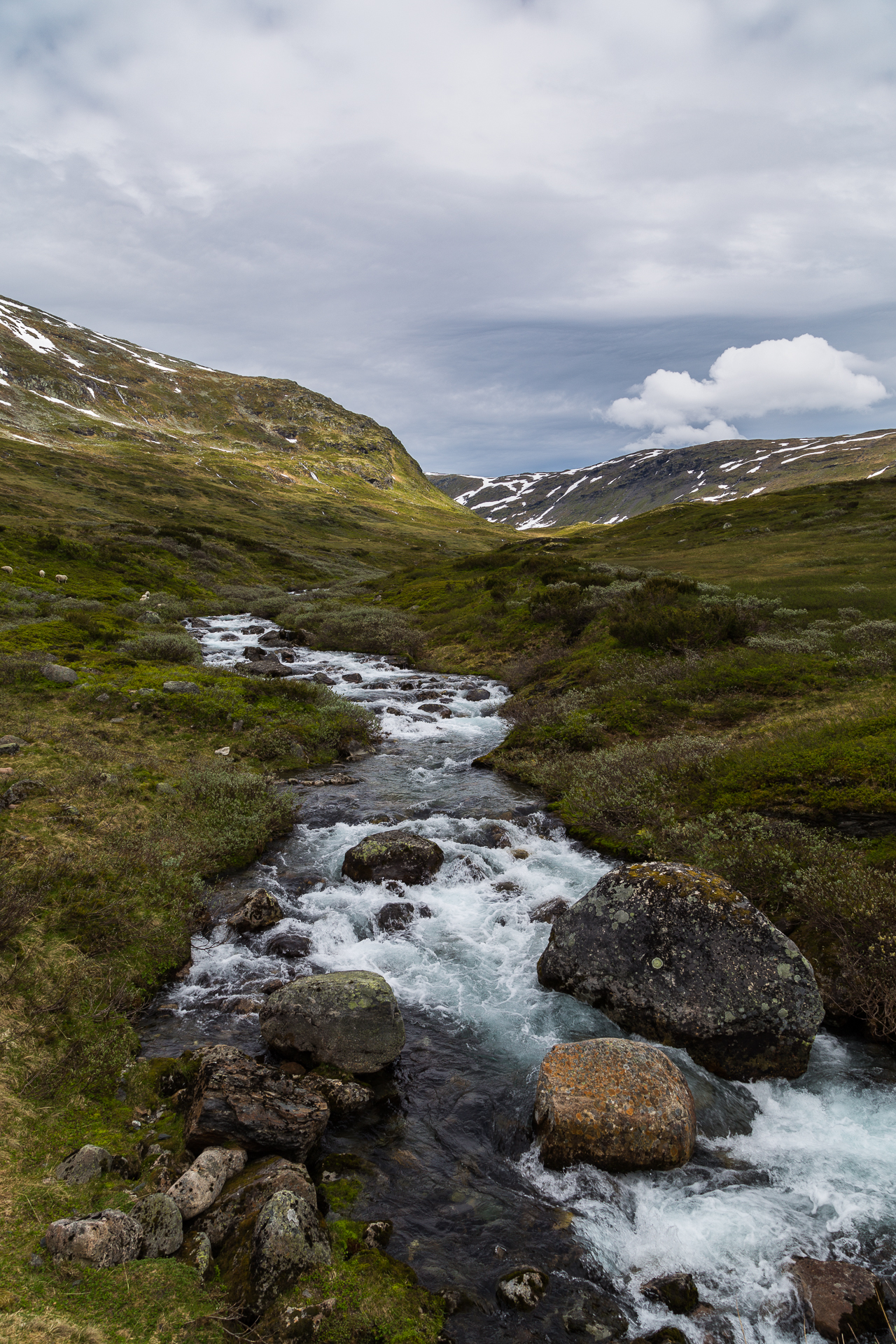
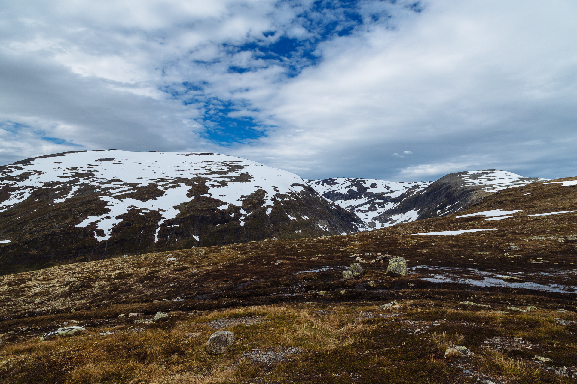
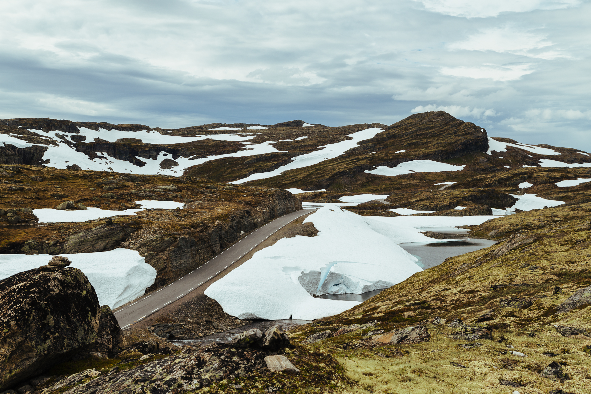
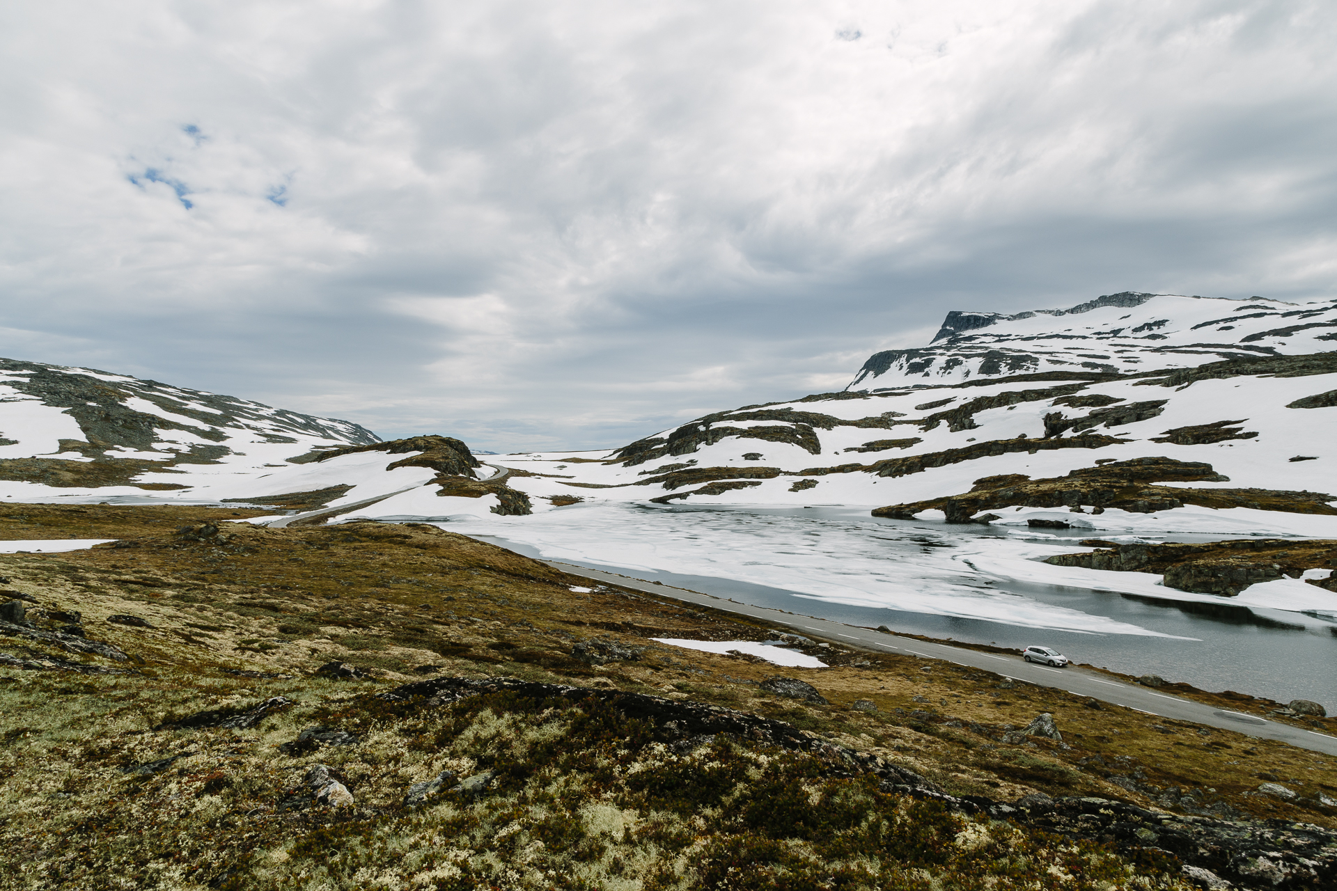
From here the road continued to climb up until 1306 metres above sea (or fjord) level, leaving the tree line behind and entering a barren, rock and snow covered plateau. It was beautiful, I think I must have stopped at least ten times to take pictures of the changing landscape.

20170701_Roadtrip-6

20170701_Roadtrip-7

20170701_Roadtrip-8

20170701_Roadtrip-9

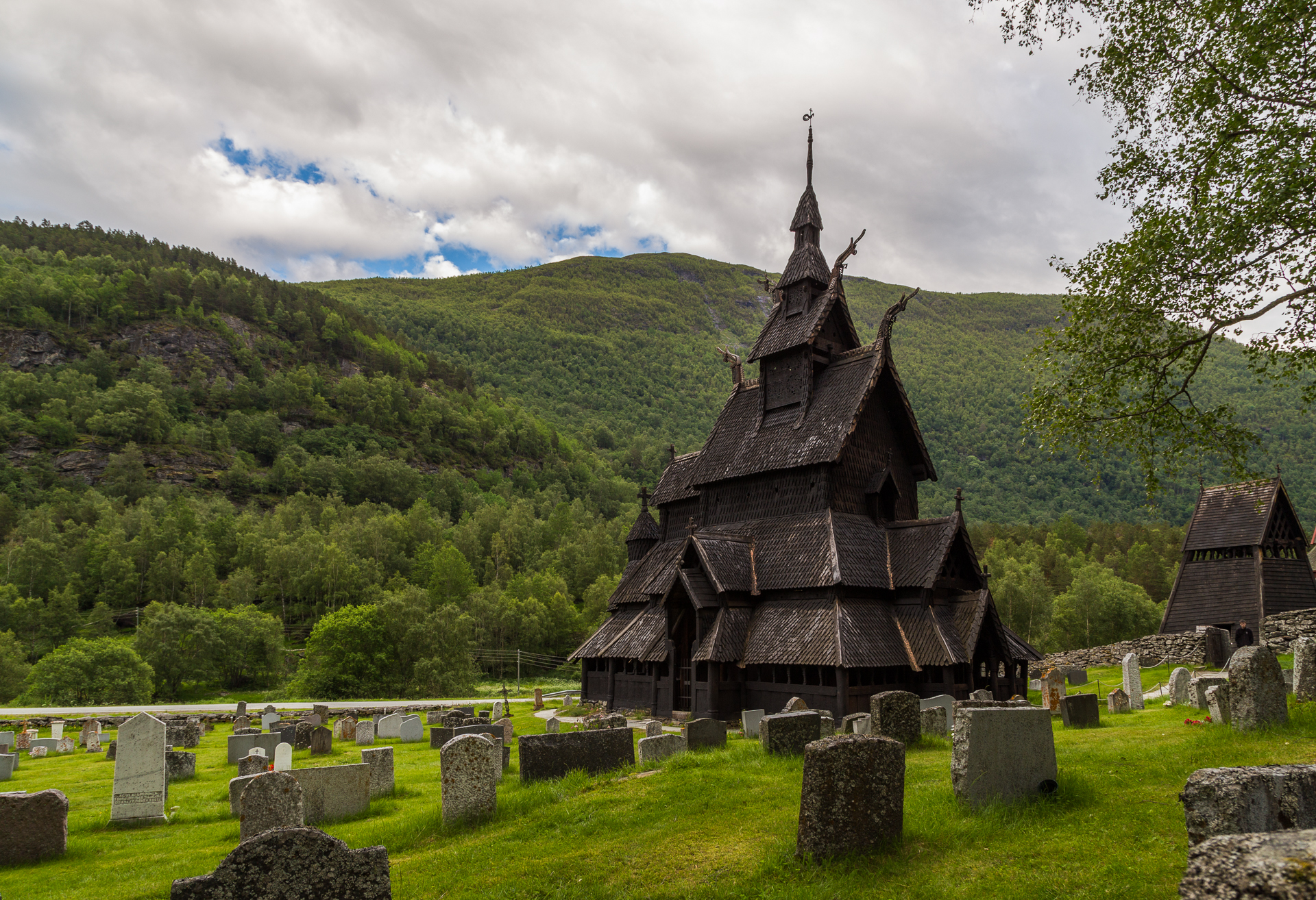
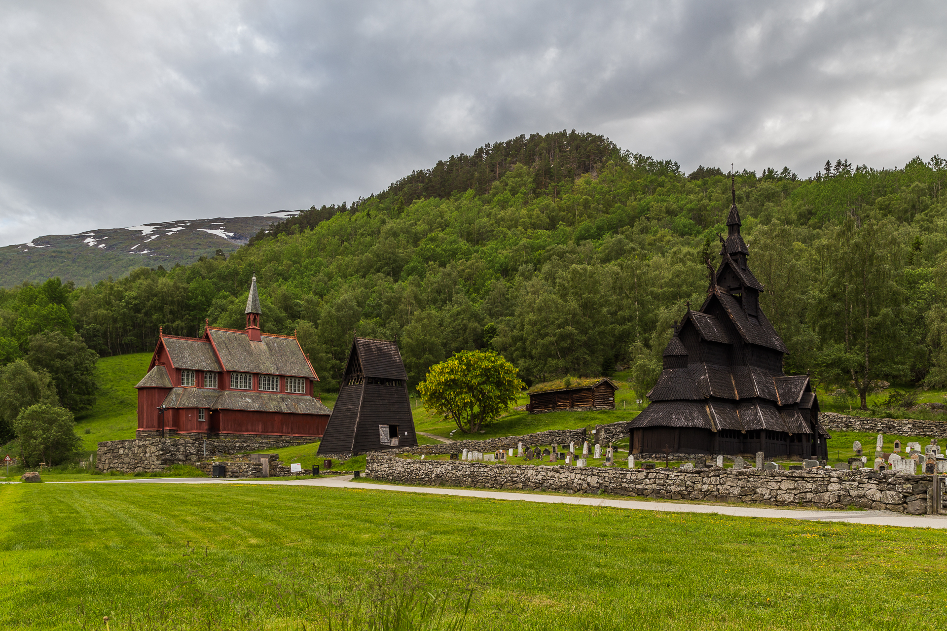
While this section of the road was wide enough for two way traffic, the descent towards Lærdal was narrow again. We arrived to the Lærdal Ferie- og Fritidspark around 16:30, where we have a small apartment for the night. After an early dinner in the restaurant of the camping, we decided to still drive to the Borgund stave church, because the weather forecast for tomorrow was not looking so good. This way we could also save some time, because Borgund is actually not along the main route that we will have to follow. The church (actually, churches) was (were) nice, and thanks to the late hour, very quiet.

20170701_Roadtrip-10

20170701_Roadtrip-11

On the way back we took the old (historic) road that follows the steep walled valleys (popular fly fishing spots), instead of driving through the tunnels that cut through them. Tomorrow is going to be a long day of driving to the North.

Odometer reading at the end of the day: 2138 km (of which 300 km was today).
Road trip Scandinavia: Day 6 (Bergen)

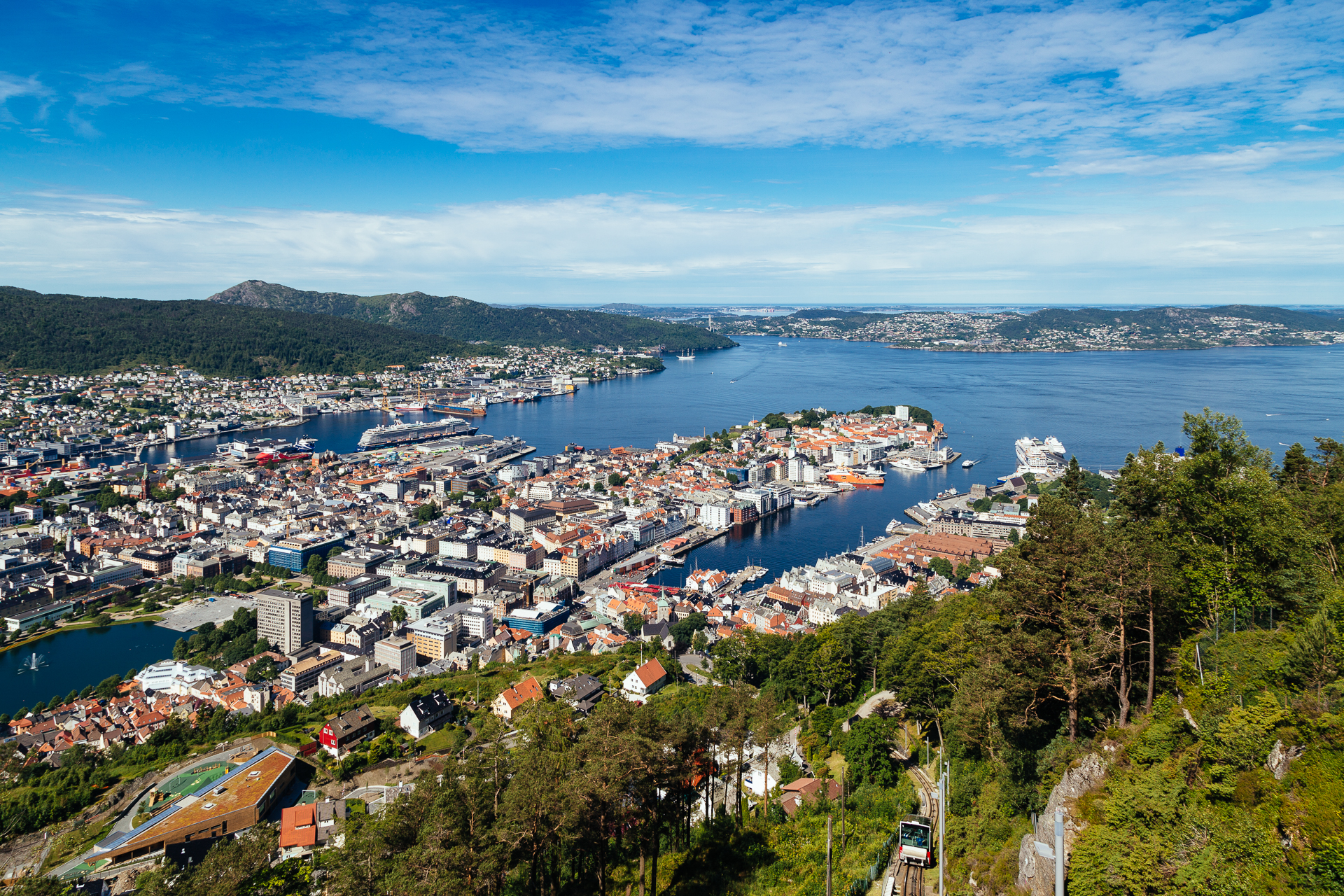
Today we spent the whole day in Bergen. (I went to sleep very late again yesterday, but at least I saw the sky turn red and purple around half past midnight, while working on the photos for the blog.) Both of us were up already at 08:30, because now we are so used to getting up early, that we can not even sleep past nine. After breakfast we walked to the Fløibanen (on the way there having to step over a lazy cat lying across the narrow footpath leading down from our AirBnb), and following a short wait in the queue, we could take our seats in the funicular, and soon be on our way up to the Floyen lookout point. This was definitely easier than all the hiking that we had to do to achieve similar heights during the past days. At 10:00 I was already busy trying to capture the panorama of the city, taking the most unoriginal pictures one could take here :)

20170630_Roadtrip-1

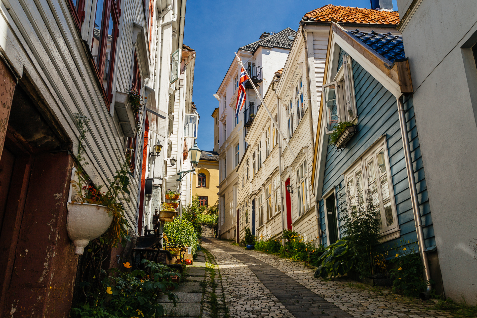
Then we walked around a bit while I tried to be victorious over a huge ice cream. Somehow we managed to luck out and arrive here for the warmest, driest, and sunniest day of the summer in Bergen (where it supposedly rains all the time, and where it rained on each of the first 26 days of June, shattering the previous record for the month), so for the rest of the day we tried to stay in the shade (and we made good use of the sunscreen we brought along). I am not complaining, but it was definitely hot. Then we took the funicular down, walked through the fish market and the centrum, and went on to explore the old wooden houses and narrow streets of the Nøstet neighbourhood. The most famous street here is the Knøsesmauet, and it did not disappoint.

20170630_Roadtrip-2

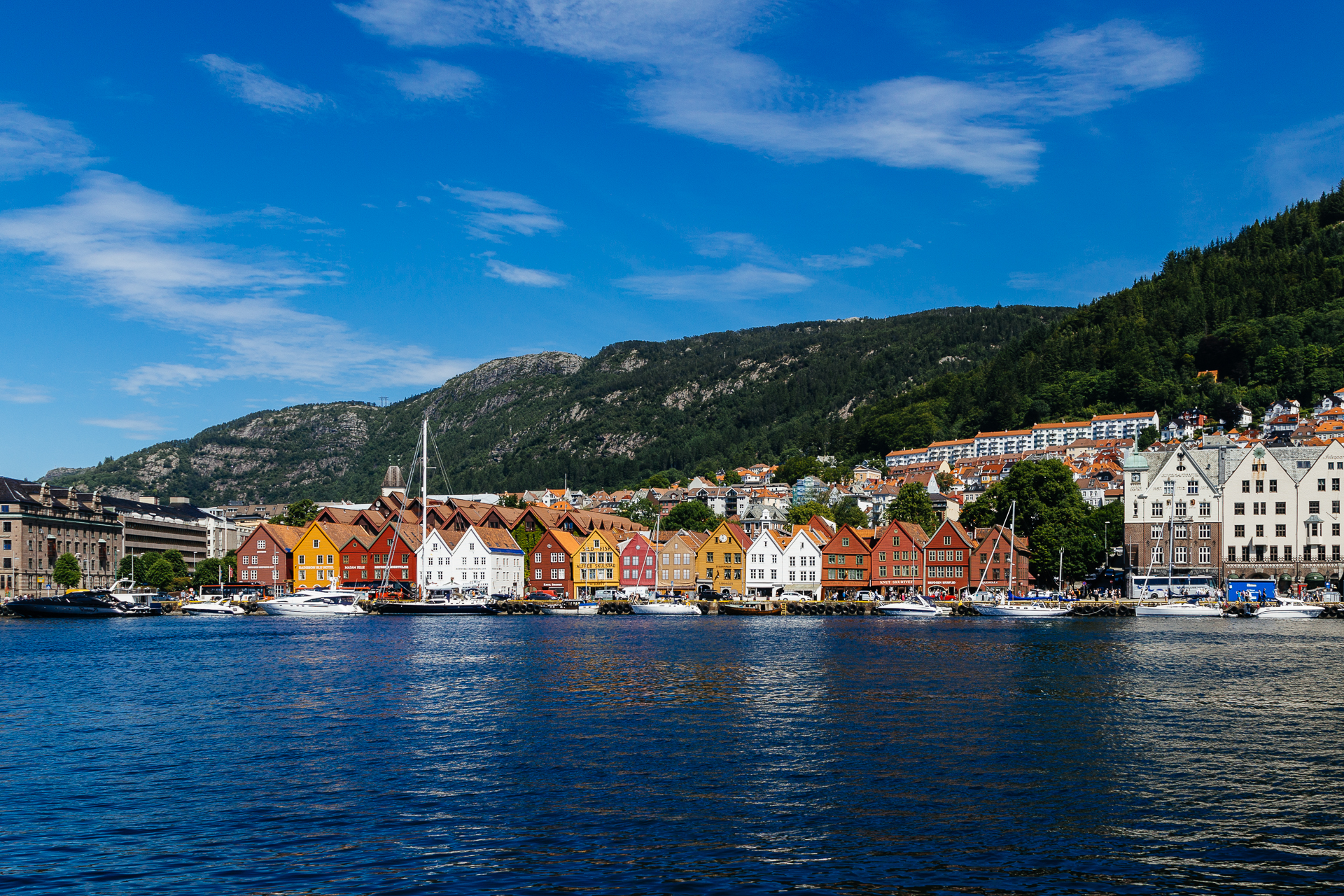
From here we walked all the way to the end of the peninsula, where an actual totem pole was erected in the Nordnesparken in 1970, which was a gift from Seattle to celebrate the city’s 900th anniversary. Then we made our way back to the fish market, stopping here and there along the harbour to enjoy the view over the water towards the Bryggen. After a quick tortilla and burrito lunch we walked across the historic buildings of this historic wharf, then in dire need of a siesta, we made it back to our AirBnb around 15:30.

20170630_Roadtrip-3

Recharged from a small nap and some dinner, we made another short walk to the Bergenhus Fortress and the harbour in the evening, before calling it a(nother successful) day.

Odometer reading at the end of the day: 1838 km (we did not drive today).

Road trip Scandinavia: Day 5 (Waterfalls along the Hardanger route and the Husedalen valley)

Since it was already well past midnight when I finished yesterday’s blog post, this morning came way too early because we had to get up at 08:00 to be able to leave our nice cabin an hour later. To our slight surprise it was raining, so when we reached the start of the Hardanger National Tourist Route at the first waterfall of the day (the Låtefoss), water was pretty much coming from everywhere. From here we did a large part of the day’s drive on this Hardanger route, heading first North along the Western edge of the Hardangervidda National Park, then West on the North coast of the Hardangerfjord towards Bergen. The drive was very scenic, and the winding road often narrowed to one lane. Along the way we crossed two suspension bridges (the larger Hardanger Bridge, and the cuter Fyksesund Bridge), lost counts of tunnels – except for the two that contained roundabouts along them -, and encountered numerous waterfalls.

20170629_Roadtrip-1

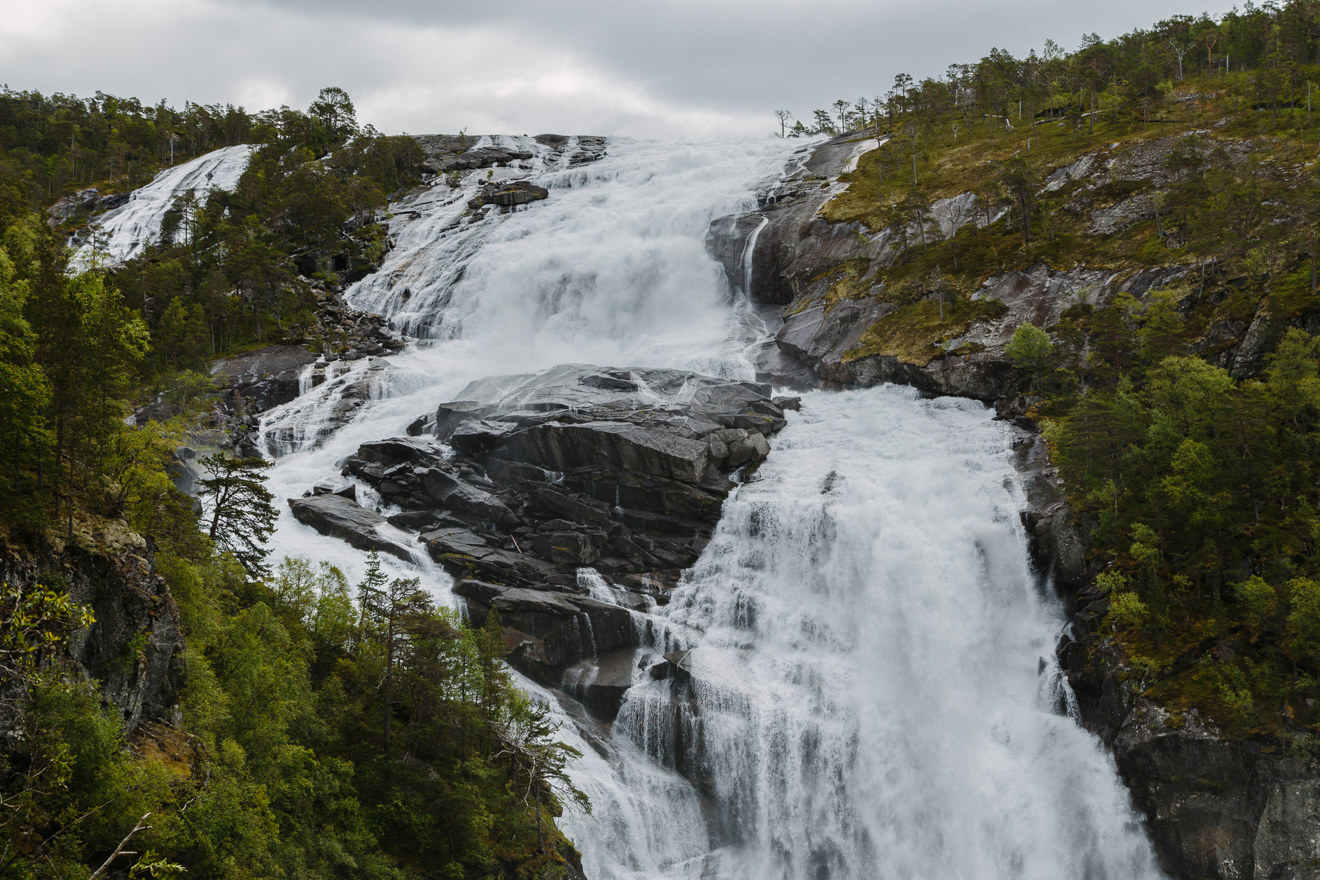
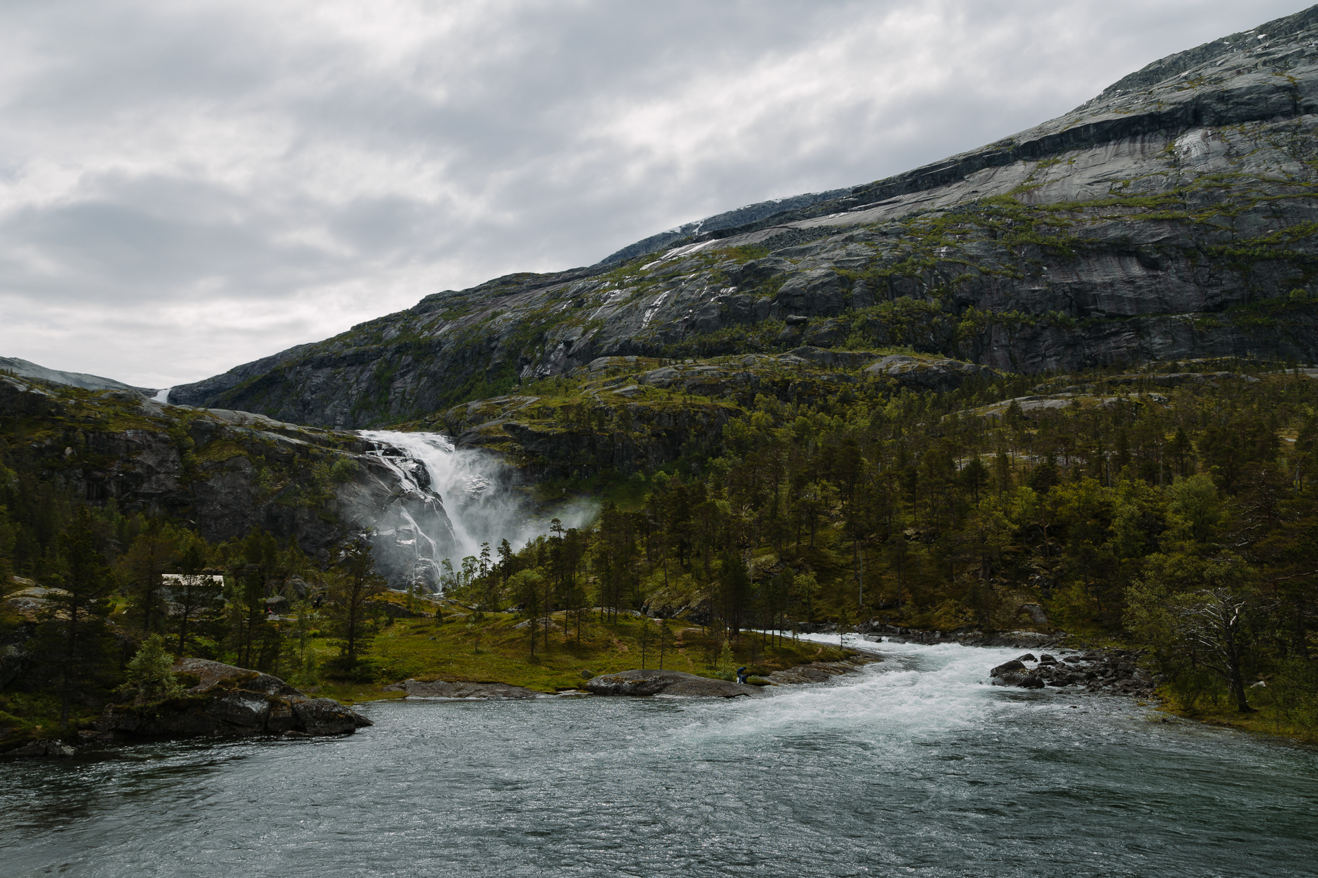
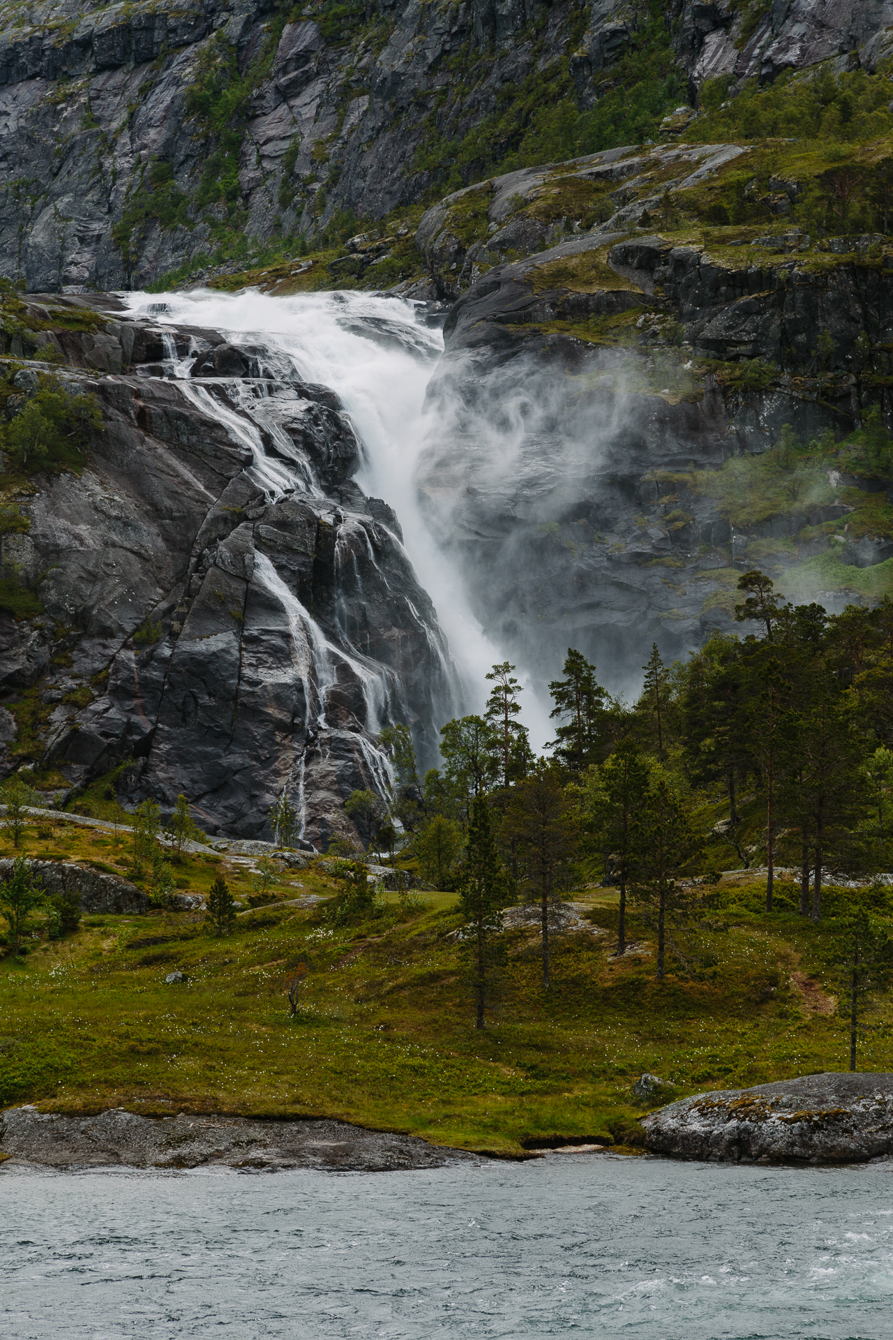
Around halfway between Odda and Kinsarvik it stopped raining, so we could go and do a smaller hike up into the Husedalen valley. The original plan was a four hour hike passing four waterfalls, but as we lost some time due to road works earlier, we had to ditch the last one to compensate (details on Strava). The waterfalls (Tveitafossen, Nyastølfossen, and Nykkjesøyfossen) were beautiful, but I also liked the paths connecting them, climbing through the forest, crossing huge, tilted, flat stone faces here and there.

20170629_Roadtrip-2

After the hike we still stopped at two other waterfalls along the road: at the Skjervsfossen (where we did not have much time to look around), and at the Steinsdalsfossen (where we could walk behind the water curtain, which was definitely very cool).

20170629_Roadtrip-3

At the end of the day we arrived to our AirBnB in Bergen at 19:15. We barely had enough energy to unload the car and make dinner. Luckily tomorrow we don’t have to drive anywhere, just walk around in the city, so maybe we can also sleep a bit longer for once :)

Odometer reading at the end of the day: 1838 km (of which 263 km was today).
Road trip Scandinavia: Day 4 (Gaustatoppen and the Southern Hardangervidda)

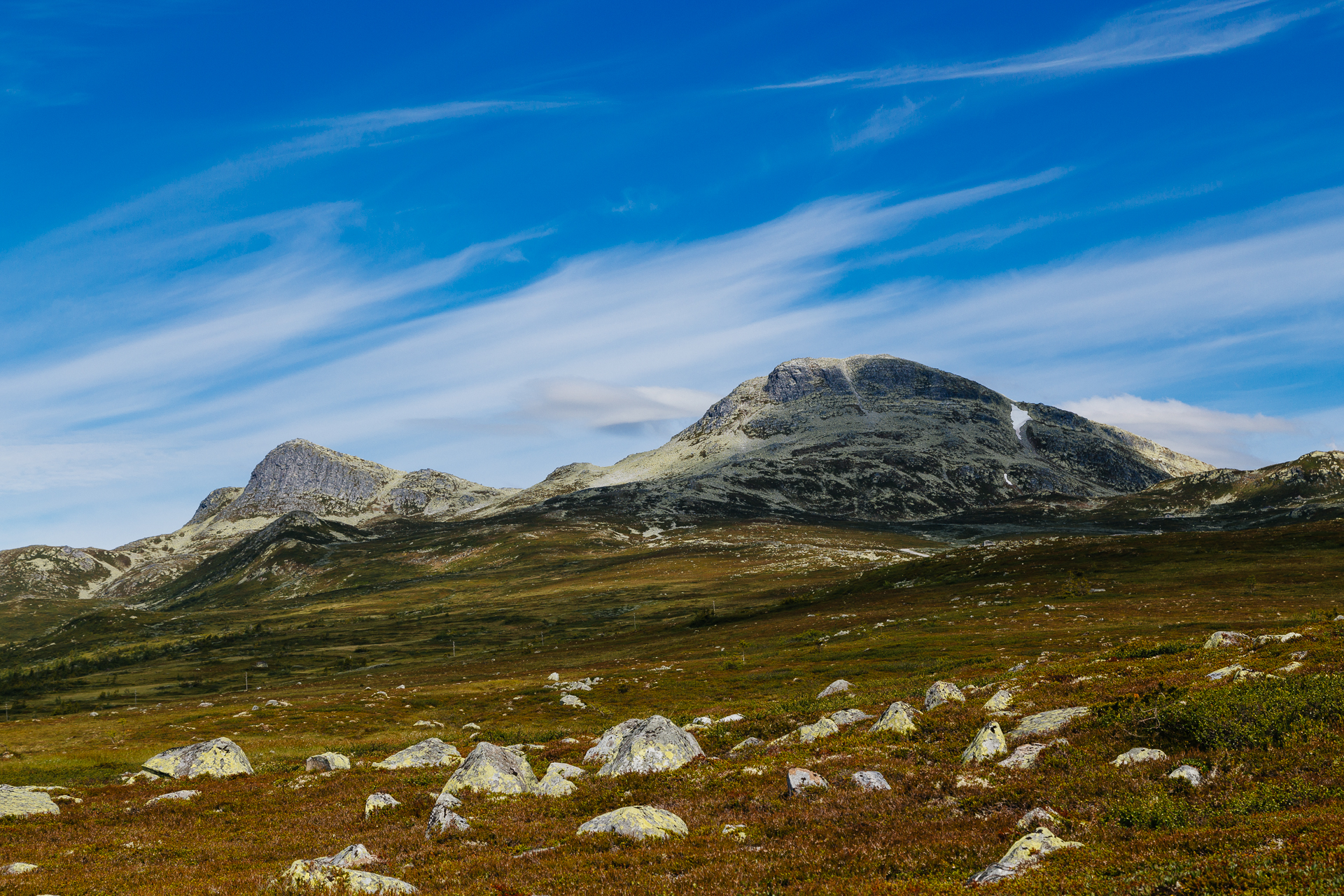
This morning we got up already at 07:45… First we had a quick breakfast, then loaded the car, and after picking up a sandwich and some pastries for later in the nearby grocery store, we started driving up North at 09:00. We took the mountain road from Sauland towards the Stavsro parking, thus I could finally drive the car in the sport mode, and “shift manually” using the paddle shifters ;) Since we had to climb over 10% sections quite a few times, or later descend at reasonable speeds without melting our brakes, this was actually really necessary. The scenery was beautiful, and we could not complain about the weather either.

20170628_Roadtrip-1

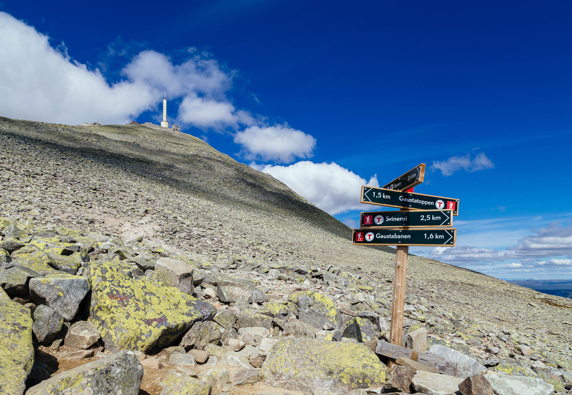
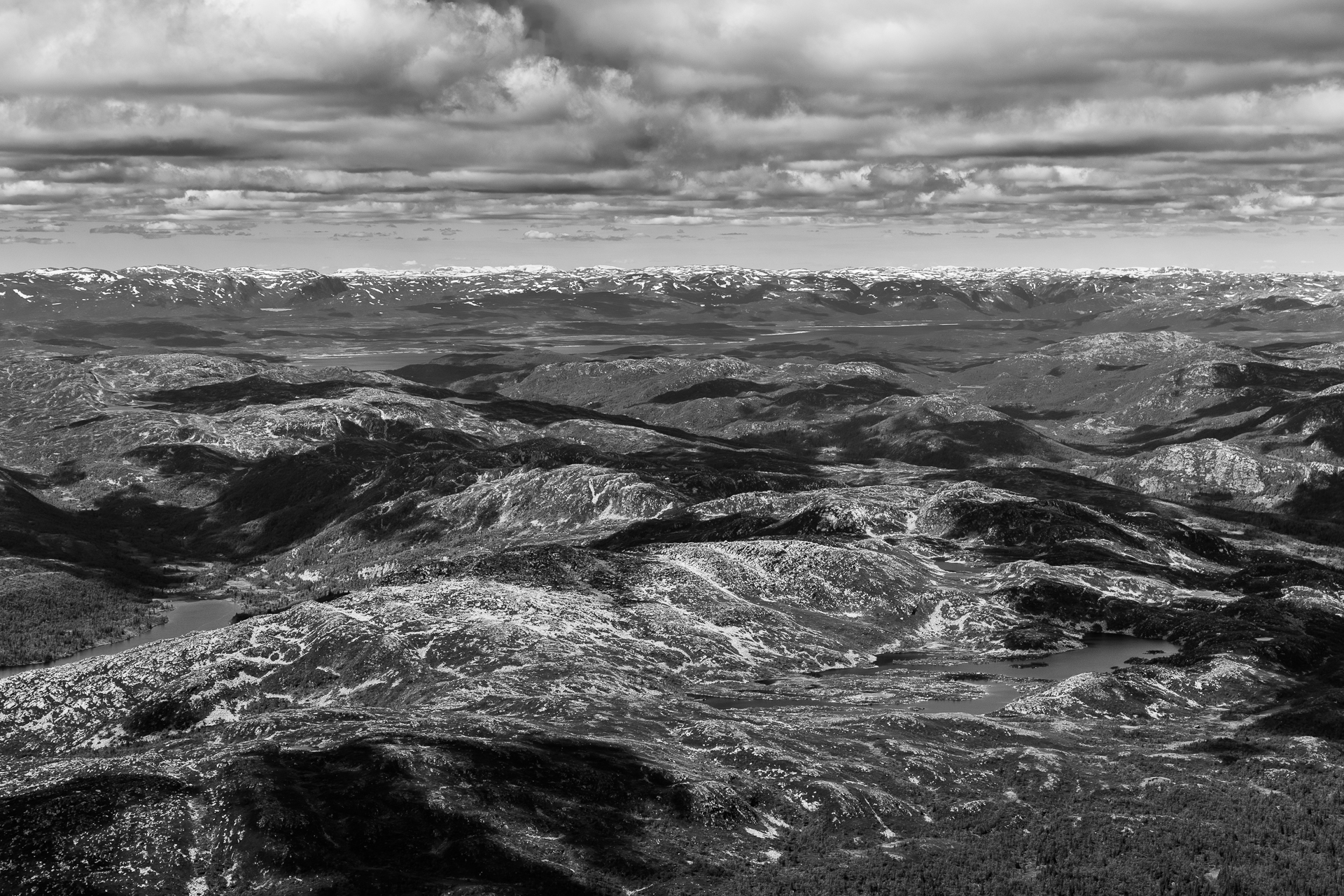
Then in the parking we put on our hiking boots and a few extra layers (as the temperature at an altitude of 1173 metre was only 7°C, and it would not get much warmer on the way up), then started the climb towards the peak at 10:00. The path was not too steep but it was very rocky, so we had to work quite hard both on the way up and on the way down. The view from the top was first class, we could – supposedly – see one sixth of the whole country from there. I went even a bit furtherer from the lookout platform towards the actual peak along the narrow ridge of the mountain, but turned back before reaching the top because the last section was quite difficult to navigate and we were already a bit behind time.

20170628_Roadtrip-2

20170628_Roadtrip-3

20170628_Roadtrip-4

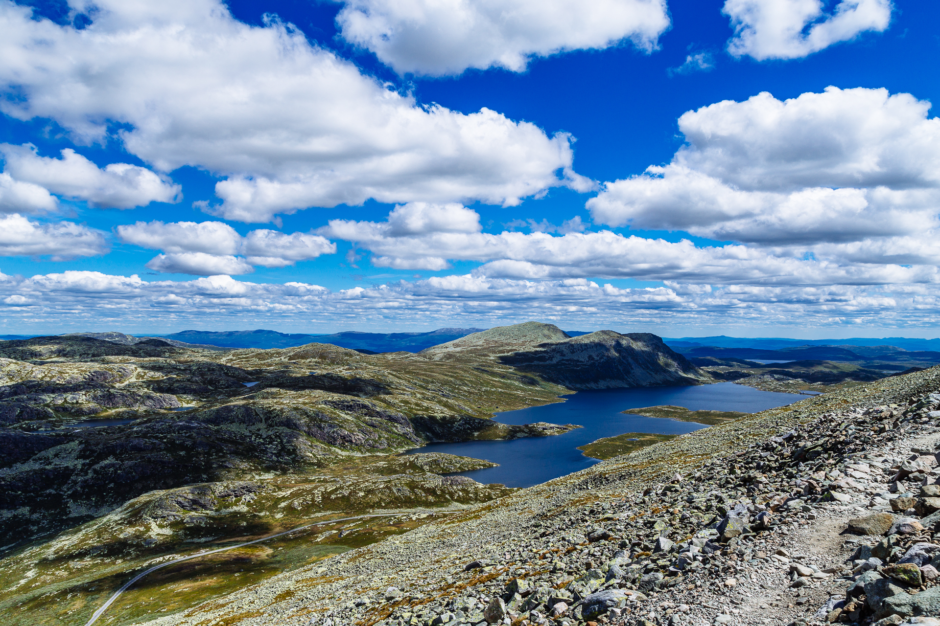
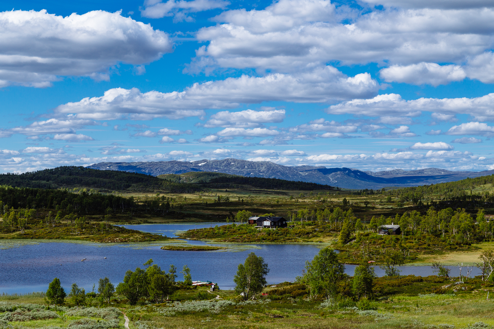
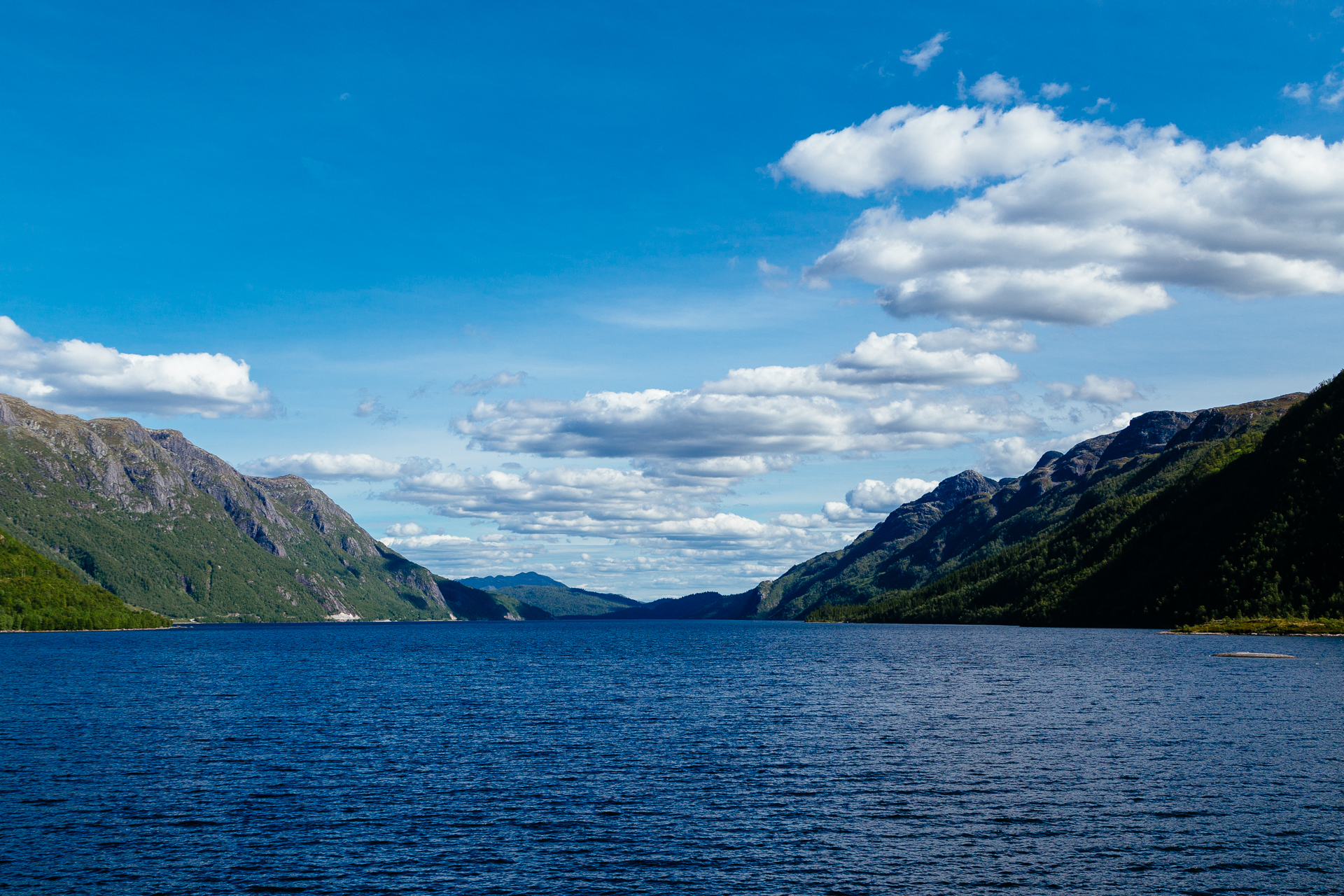
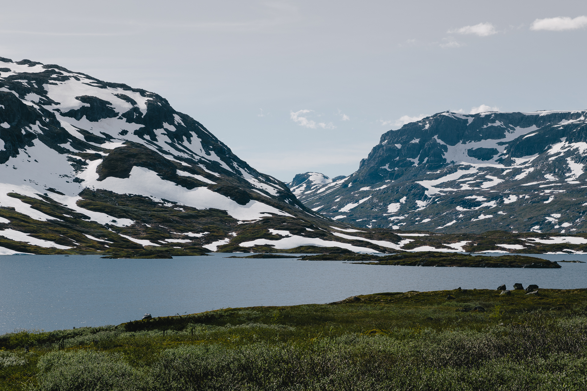
We arrived back to the parking at 14:40 (details on Strava), and started driving further after a well deserved coffee. We spent the rest of the day driving Westwards through beautiful scenery, crossing snowy mountain plateaus (just along the Southern border of the Hardangervidda National Park) or following rivers and lakes (e.g., on the narrow road along the Northern coast of Lake Totak) in the valleys below, stopping quite often for a picture or two at the side of the road. It was really nice driving on these roads, I don’t think this could ever get boring in Norway.

20170628_Roadtrip-5

20170628_Roadtrip-6

20170628_Roadtrip-7

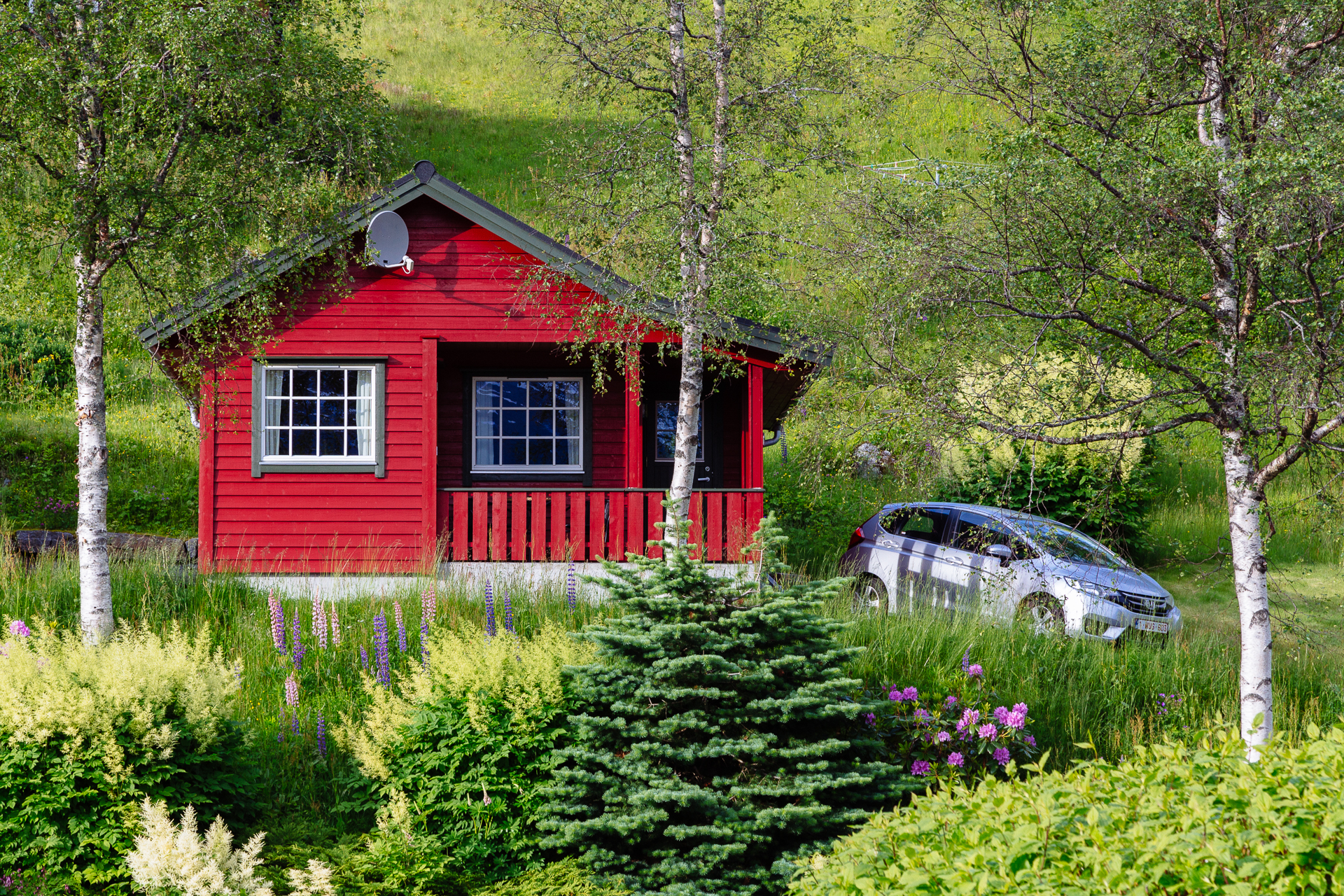
Tonight we are staying in a nice cabin at the Røldal Hyttegrend Camping, and we even did a small walk to the lake and the local stave church before dinner and now it is already too late and picking a few pictures always takes ages!!! First world problems, I know…

20170628_Roadtrip-8

Odometer reading at the end of the day: 1575 km (of which 198 km was today).
Road trip Scandinavia: Day 3 (Ferry to Norway, Heddal stave church)

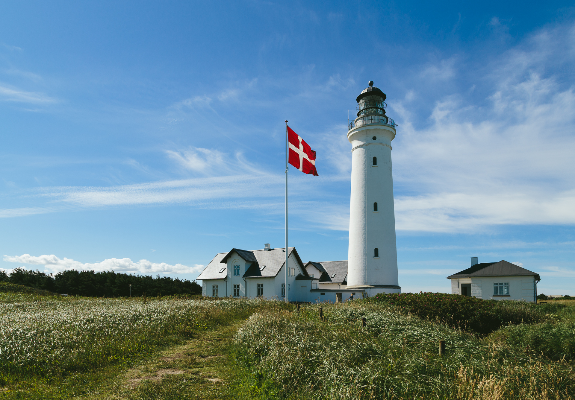
Today I was already awake at 08:00, but we had to get up only a half hour later, so I wish my eyes had kept themselves shut a bit longer. We are getting very efficient in packing our well sorted gear in our bags and then loading everything into the car on the mornings, therefore we were ready to leave way earlier than necessary. To shorten the waiting time between checking in and actually boarding our Color Line SuperSpeed ferry, we still drove to the nearby light house that stands just above a group of bunkers from World War II, before finally ending up in line for the boat towards Larvik.

20170627_Roadtrip-1

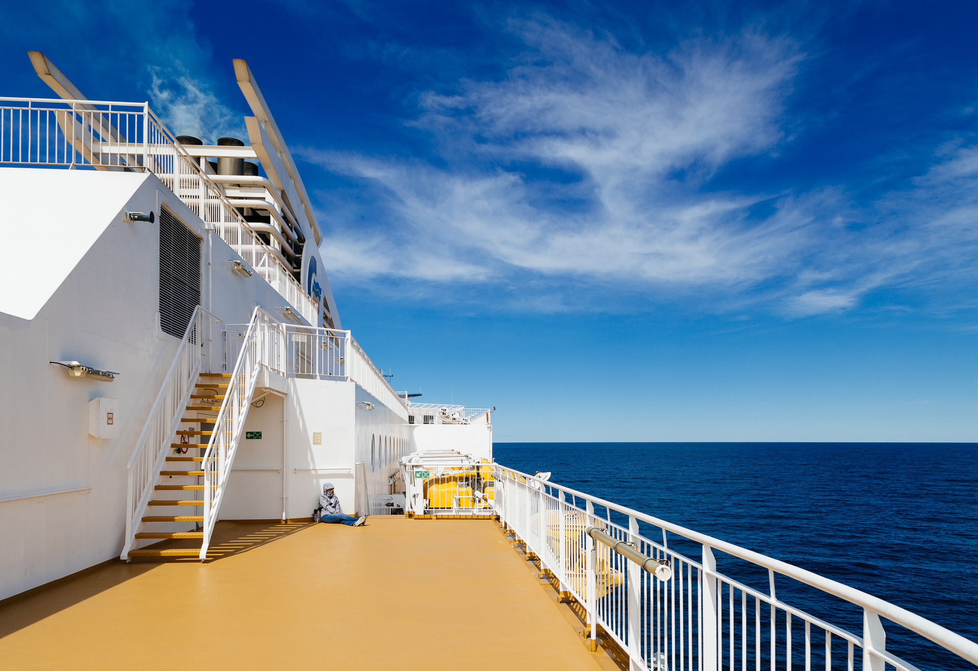
We were among the first cars driving on board, then we watched as the features of the Danish coastline became smaller and smaller from the deck. We left Hirtshals at 12:45, and we arrived to Larvik at 16:30 (thanks to a cruising speed of around 25-27 knots). The weather was great, sunny, and not as windy as the day before, so the sea was calm, and none of us had issues with seasickness. We had burgers and fries for lunch on Deck 7, which were surprisingly good and not expensive at all.

20170627_Roadtrip-2

On the downside, we probably got screwed over by the mobile network on the ferry, because not even halfway through towards Norway both of us received a message that our roaming limit (which – for me – is set at a painfully high 60 EUR) has been reached and as a consequence we were blocked from roaming for the rest of the crossing. Now that there are no more roaming costs in Europe, this came as a bit of a surprise (because who reads roaming related sms messages anymore in Europe, even if they say something about 9.50 EUR/MB…)., but I guess international waters are not Europe :( Damn it, stupid loopholes…

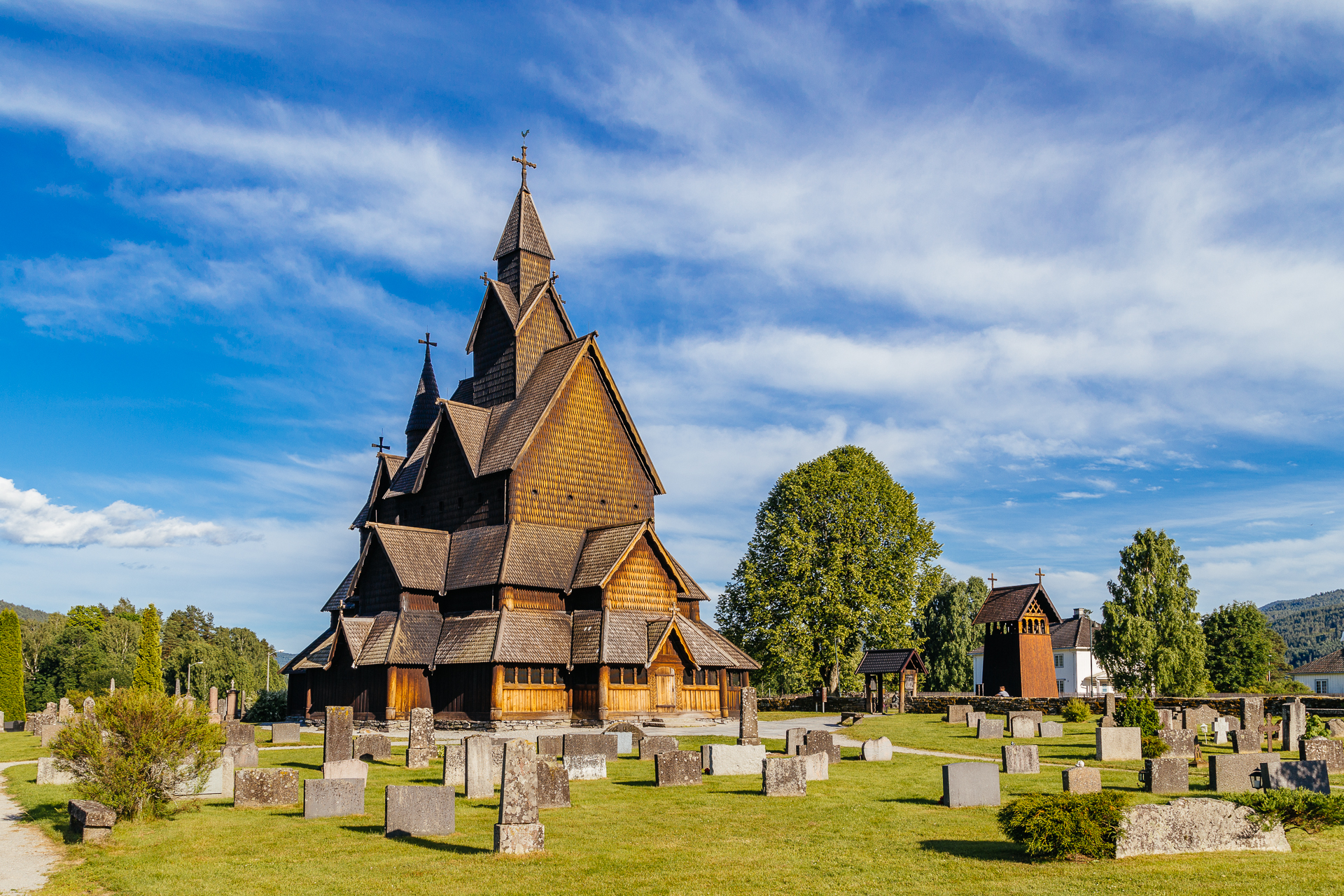
After debarking the ferry we headed immediately inlands. We took the scenic route towards Heddal via Hvittingfoss, driving along twisting rivers, and lakes, mostly on fresh, smooth asphalt, climbing higher and deeper into the more and more mountainous landscape as time progressed. At many places dense patches of purle and pink flowers lined the side of the road. We had just one longer stop at the Heddal stave church, before reaching our “hotel” for tonight at 19:30 (just 15 minutes behind schedule – so far we are doing great), the Løvheim Gjestehus. The stave church was very nice, especially in the relatively lower evening sunshine, and thanks to the lack of other people around it.

20170627_Roadtrip-3

Our hotel is also great (again), and it is ran by a “funny” Dutch couple (e.g., educating some French guests about their wine choice) :D We have already packed our backpacks in for tomorrow, because we will do some proper hiking at least!

Odometer reading at the end of the day: 1377 km (of which 146 km was today).