Tag Archives: nyaralás

Cycling on La Palma – Day 2

The second day brought madness all over my mind ;) I decided to ride up to the Roque de los Muchachos, but from both sides to make it a bit more difficult. Ok, I have to admit it was not an instantaneous decision, but a plan made already a long time ago… As I knew it would take me a long time to accomplish my idea, I got up at 7 and left around half past eight. The morning was beautiful and sunny. Last autumn I rode up from Santa Cruz once already, so I knew the route, except for the first kilometers, where I had to take different (and very steep) streets due to ongoing (pre-election) roadworks. Now this was the menu for the first half of the day (till reaching the Roque for the first time):

34.61 km @ 6.5% with a maximum over 100 meters of 12.3% (HC)
3.69 km @ 7.3% with a maximum over 100 meters of 11.6% (3rd category)

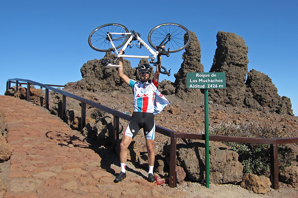
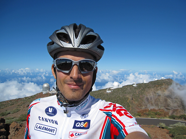
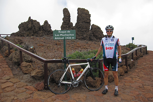
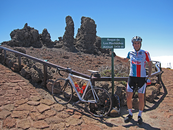
I tried not to push myself too much, because after arriving to the top, I knew I would still have almost half the elevation gain to be done… Still, I felt it much easier than last time (though I have reached the summit almost exactly as fast as last time), so I felt very confident about the rest of the day while taking a short break on top of La Palma. (The Omega-Pharma Lotto colours fit me pretty well, don’t they?)

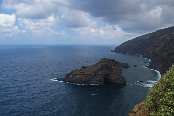
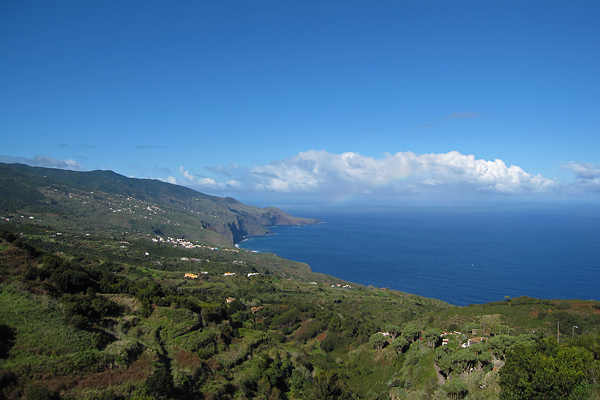
I also refilled my hydration pack with water (and Isostar) here – although my two 0.75 liter bottles were still full. (It is so nice to climb with some excess weight, isn’t it? :D) As the weather was really chilly (and cloudy towards the north side of the island), I got my knee and arm warmers, my wind west and even my rain jacket (still only against the cold wind) on, before I started my descent towards Garafia. Still, I was honestly freezing downhills. Cutting through 13°C air with 50 km/h feels really cold… It was a real revival when I finally reached to the lowest possible point on this side of the island (a lookout point on the edge of the cliffs below Garafia), where the temperature was 25°C. And the view (plus the plants; bushes, flowers and cacti) was also quite spectacular.

I did not spend too much time here (although I really liked this spot), as I still had a lot of climbing to do… So, here is the menu for the second part of the day (the second climb is already after the top, on the way ‘down’):

30.88 km @ 7.3% with a maximum over 100 meters of 16.8% (HC)
3.06 km @ 5.0% with a maximum over 100 meters of 8.7% (4th category)

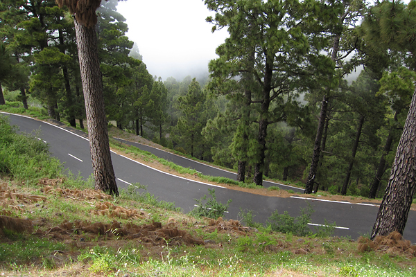
The first section back up was really painful (the 16.8% – and this is an average over 100 meters, the peak gradient was around 20% – was right there at the beginning – definitely out of the saddle pedaling there), then the slope became significantly less brutal (but much more humid entering the cloud layer pretty soon). Then after km 15, the steepest kilometers came with 10.2% and 11.2%, but I already knew that part from last year… I think expecting this section really mad it less painful – at least now I had to stop only once. (Look at the picture below, it is so steep looking down the road, that the horizontal level is outside the top of the frame, though it is a 28 mm wide angle shot!)

At this point I got really fed up with the energy bars and gels. Now I have to explain this situation a bit more, because my non-cyclist readers might not get the full picture without this. So first of all, I could not carry enough normal food for a full day of intensive cycling. Moreover, I could not even eat normal food on the bike after some hours, because I completely loose my appetite in the saddle. But this is normal, when you do sports intensively for an extended period of time. So what can you do? You still need to refill you energy reserves, so you have to eat, no matter how. To fulfill this fuel requirement of the body, cyclists usually eat energy bars and gels (while riding, not for dinner). They have an excellent weight to useful energy content ratio (most importantly carbohydrates), but they can get very boring really quickly, and they are just damn sweet and sticky, and that’s what I really hate. But there is no better solution… This is not a sponsored post, but here are some details. I usually buy Isostar products (and I had their Long Energy isotonic drink with me also this time), but now I bought (along with some other goods via internet) PowerBar items. I had their Banana Punch Bars (203 kcal in 55 g) and the Caffeinated Green Apple Gels (107 kcal in 41 g along with 50 mg of caffeine – a half cup of instant coffee if you wish). I really hated the latter first, but now I think it is really good (and especially very effective – the taste is still so-so, but at least it goes down very easily). Just to give you something to hold onto, I consumed 6 bars and 5 gels during this ride (while I have burnt ~6000 kcal of energy)… So eating is my biggest concern, and when I get fed up with these things, that is not healthy for my mind either…

Anyway back to the climb. I kept pedaling (though my pace really fell after the two very steep kilometers and my psychological food problem), first escaping from the cloud layer, then passing the last trees and finally I arrived to the vast volcanic landscape of the Observatory. I took a final nap laying down at one of the helicopter landing sites (on the nice, warm asphalt, bathing in sunshine – I really enjoyed those minutes there) before I rode the last kilometers to the top. Near the peak the wind got very strong, so the last hundreds of meters were again damn hard. But then I was very happy when I finally arrived, though it was very cold (I put my warm clothes on right after the picture below was taken), but it was clearly a huge success to ride up from sea level to the top of La Palma for the second time on the same day. I think my happiness is evident on the picture below :)

The way down (with still a 4th category climb soon after leaving the territory of the Observatory) was cold (again) and uneventful (no torrential rain or dogs attacking), but beautifully clear and sunny, with nice views onto Santa Cruz from the hillside. I could even ride onto the fresh asphalt (where the road was still blocked on the morning) and enjoy a smooth roll during the final kilometers. On the evening I had dinner with a colleague from the Nordic Optical Telescope, then I went to bed after watching the Tour of California for a while on TV… It was a really crazy but awesome and epic day of 147.4 km with an elevation gain of 5069 meters! GPS data of the day is here. The next day I did not go anywhere, just stayed at home, watched the Giro and ate a lot :D Oh, and on the evening, I had dinner with now all the people from the NOT!

To be continued!
Cycling on La Palma – Day 1

First of all, during my observing run, I rode my bike 25 times up and 25 times down between the ORM Residencia (the place where my room was and the food got served before the work nights), which – at a height of 2300 meters ASL – was a quite good warm-up (climbs of 2.7 km @ 7%) for this week’s cycling. This year, my best time uphills was a half minute better than last autumn! And on average, I was also much faster. Still, I have to face the fact that I am not a very good climber… After my last night at the telescope, I quickly packed everything, and immediately came down to Santa Cruz, to have a day of sleeping and eating (and switching back to a normal day/night rhythm).

So the first day of real holidays – meaning real cycling – was Tuesday, the 17th of May. I only wanted a relatively easy and short ride (keeping my bigger plans for the coming days in mind), so I rode to the south of the island to visit one of the youngest volcanic formations, the Volcán de San Antonio. After a short but really curvy 3rd category climb from Santa Cruz (6.53 km @ 5.4% with a maximum over 100 meters of 9.0%), the rest of the road was only hilly, with slight climb towards Fuencaliente.

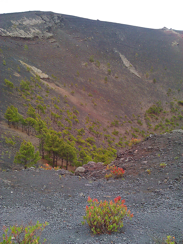
The weather was not the best, I rode through low clouds and even got a bit of rain, but with temperatures around 20°C, you can not really complain about it. And anyway, I was prepared for everything ;) I even walked along the rim of the crater (after paying the 3.5 € entrance fee), but I had only my smartphone with me to take pictures with – though for blog-sized images, the quality is still OK, as you can see. It was very interesting, and the view was also great from the top. After the short, but – as I was still wearing cycling shoes – not that comfortable walk, I rode back home, so the day was over after only 67.3 km and an elevation gain of 1058 meters. On-line data from the day can be seen here. Then later that day I was just watching the Giro d’Italia (with English commentary, oh yeah!), and eating a lot to have energy the coming day. Of course I had dinner at my favorite place, the Pizzeria Piccolo, which is just on the other side of the street ;)

To be continued…

Holidays in Santa Cruz – 2.

After a restful day, I went cycling again. This time I wanted to ride to the north along the eastern coast of the island, then turn to the west, and climb the highest peak of La Palma from the northwestern direction. I knew it would be hard (with more than 120 km and three and a half kilometer of elevation gain, on the steepest roads of the island), but we need challenges in life :) I had my breakfast sitting at the open window (that’s something I will miss in Leuven, but finally I will have my chocolate, fries, and beer ;D) and watching the sunrise over the calm see towards the island of Tenerife. I had some difficulties inserting my contact lenses (everything is great about lenses, but I don’t like this part), so it was already half past 9 by the time I managed to leave the apartment.

The first 60.9 km was like a roller-coaster ride, with amazing views to the see, the steep cliffs and narrow valleys. In general, there were three longer climbs before the real thing started, but if you are interested in the details, click here to see the GPS data of the day. Words are not enough to describe the beauty of the island, I have seen the paradise here. Really, there were times, when I could see a rainbow in the distance as there were small showers hanging over the see, and imagine the whole scene over green slopes and curvy mountain roads…

20101023paradise

The road usually went around the ridges, but sometimes there were tunnels also. I knew this would happen, so I put my rear light on already at the beginning, and just turned it on when I saw a tunnel approaching. But at the last and longest one, I went in as usual, but then it turned out that there is absolutely no lighting inside, and as the end was not visible from the first hundreds of meters, it became completely dark very soon. Luckily, for safety reasons, I also put my headlamp in my backpack, so I stopped in the darkness, and put it on… But it was really shocking to roll in with 40 km/h and then realize that the road disappears in the darkness :D There were also some sections, where one lane was closed due to road-works, and the traffic was controlled by traffic-lights, so I had to wait sometimes several minutes to get a green sign (and I usually managed to pass the section before the other direction got the green).

So after a bit more than 60 km and an elevation gain of two kilometers, I arrived to the start of the climb at an elevation of 940 meter ASL. From here, it took 19.4 km to climb 1485 meter to the Roque de los Muchachos, which gives an average slope steepness of 7.7%, making this the most difficult climb I ever had (maybe even without taking into account the two kilometers of elevation gain already in my legs at the beginning of the big climb). The first kilometers were quite OK till the point where I had to turn to the TF-4 road from the TF-1 (which I was following from Santa Cruz), then came the brutal section. Really, it did hurt. In 1.8 km I rode up 200 meters, which translates to an average steepness of 11.1%, and also a nice amount of lactate in your legs ;) But this is only the average, there was a curve-combination (looking down you could see three two more “levels” of the road below the one you were riding on), where it went up to 15% for quite a long section. (There were two buses coming down, and the drivers were waving and smiling when they saw me – but this was the case with most of the cars I met on the way up, which felt really good.) Of course the forest and the scenery was amazing, the sky was deep blue (with no clouds on this side of the mountain), but I was really tired to take pictures, I think I just wanted to concentrate on the climb itself.

20101023climb

Halfway up the mountain, I really got fed up with the energy bars and gels (which I ate ate every stop after every 250 m of elevation gain), so I will be happy not to eat them for a while now, as the outdoor cycling season is probably over for this year (based on the temperatures I have seen for Belgium). Now – not like two days before – I arrived to the area of the Observatory in sunshine, so there was no need of warmer clothes before reaching the summit. I was extremely happy when I finally arrived at the peak, and I don’t want to deny that it felt very good that quite a few people gave their congratulations when they saw me :) Quickly I asked for a photo, then (after all these formalities) I sat down and took a bit of a rest. (But first I put on the knee and arm warmers, the wind west and the neck warmer, because the wind was cold.)

20101023meattheroque

I already knew the way down from two days earlier, but it was still a challenge with the numerous steep curves. Luckily the road was less wet now (though it was still not cloudless on this side of the mountain), and as I did not receive another tropical rain-shower as a present from mother nature this time, I hade really nice views after I came out of the cloud layer. It was a really well spent day.

After taking a shower, I slept a bit (yeah, I was tired as hell) before I went for my usual dinner. You coud really tell that the waiter was really happy to see me again – as I had my dinner at the same small pizzeria every evening (I already had my favorite spot). They served great pizza (though not the best I ever had, but close to it), and I liked the atmosphere of the place. Moreover, I usually payed only 10 € for everything with tip included, which is at least 50% more in Leuven. But this was also true for the supermarket, I was always surprised how cheep my purchases were.

This morning (after the usual breakfast wit the view to the sunrise over the sea… – boring :D) I packed in everything (now I am a really professional bike disassembler and packer), the took the taxi to the airport, and now I am flying over Portugal on the way to Madrid. Hopefully everything will be fine and I (and also my luggage) will arrive around 10 PM to Brussels, so I might be in Leuven still before midnight. If I manage to post this post then you know I am fine (and if not, then this sentence does not make any sense, but hope for the best :D).

Holidays in Santa Cruz – 1.

On the 20th I finally took the taxi and left the mountaintop behind. I asked for a big cab at the reception (because of my bike box) of the Observatory, but I did not expect a mini van :D The driver was very nice, we talked about cycling almost all the way down. I went directly to my apartment (La Fuente), where I got the keys, but as I had to wait till noon before I could move in, I decided to go for a short walk in the city.

20101020santacruz

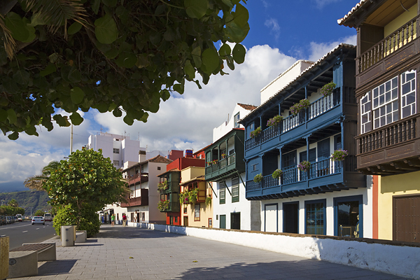
Santa Cruz de La Palma is really nice, I am not a huge fan of the Spanish (or Latin) style, but these small streets with the wooden balconies are lovely. As the Queen Elizabeth was in town (I mean, in the port), the old part of the city was flooded by mostly old European and Japanese tourists… In theory, it was only 26°C (in the shadow of course), but after the climate of the Observatory (at 2150-2350 m ASL), I was really sweating like a horse down at sea level. I had lunch at the new port building on the terrace of a nice modern pizzeria (where all the pizzas were named after old Hollywood movies), then I walked back to the La Fuente. My apartment is on the 4th floor, which has pros and cons. First of all, I have a view to the sea, and the sunrise (which is just awesome), but I had to carry up the 32 kg bike box in the narrow staircase, which was quite a difficult job… Anyway, it has a very good price/quality ratio.

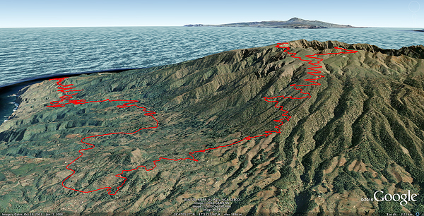
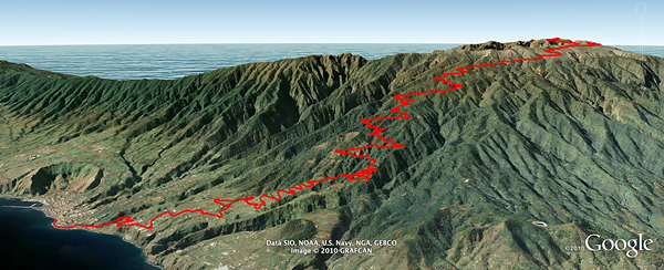
On Thursday morning I packed my arm and knee warmers, a wind west, and a cap into my small backpack, I filled its hydration pack and two bottles with Isostar, and after putting on some sunscreen I went out to climb the highest peak of the world’s steepest island. By bike, from sea level. (You can see the details of the ride here.)

20101021roquetrack

When I left Santa Cruz, the Sun was very strong, so I started to worry a bit that leaving the rest of the sunscreen at the apartment might turn out to be not my best idea ever, but then I entered the cloud layer at around 800 m ASL, and I spent almost all the rest of the ride in there… Around 400 m ASL small dogs started to follow me while barking loud just 10-20 cm from my feet, but luckily it was still a bit too early for lunch :) (Normally dogs are not a big deal, as I can go faster than them, but not uphills on a 8% slope…) This was a much harder climb than the on on Tenerife – almost as long, but significantly steeper. It consists of three parts: 33.62 km @ 6.8% from 5 m to 2285 m, then 5.20 km slight up and downs (average @ -2.7%), and finally 3.67 km @ 7.2% from 2147 m to 2411 m (with sections as steep as 11% at the last hundreds of meters – which really did hurt).  I saw the Sun again at ~2200 ASL meter for a couple of minutes while I was pedaling up through the area of the Observatory, but that’s all – the peak (Roque de Los Muchachos) was in the clouds again already by the time I arrived. It took me almost 3 hours and 20 minutes to ride from sea level to the top of La Palma.

20101021roque

Before I started the descent I put the arm and knee warmers on, plus the cap under the helmet, because the weather was quite chilly up there. Unfortunately it did not improve on the way down, but it started to be quite wet at around 1200 m ASL – which gave me a bit of a trouble in one of the many corners, but my experience (unclipping the SPD shoes when realizing that breaking is not effective enough for such a steep curve) saved the day for me :) To put the icing on the cake, it started to rain cats and dogs (with really big, but luckily quite warm drops) at around 400 m ASL, which lasted till I reached sea level. The road turned into a river almost immediately, so I had to be extremely careful, because 180° turns on flowing water are not that easy. I got completely soaked, I have never been so wet on the bike before. As soon as I arrived home (and took a shower) I put my cycling shoes out into the window, and it was still a bit wet after drying for 20 hours there. So all I want to say that it was really like a tropical rain storm.

Today I dod not do anything special, but not doing anything was really nice :) And I am still shocked by the fact that it is 23°C at 11 PM :D

Nyaralás 2010 – az utolsó napok Andorrában

20100805valldincles

Csütörtökön nagyjából tíz körül kászálódtunk ki az ágyból, és kisebb meglepetésként ért minket, hogy szakadt az eső. Meglepetés azért volt, mert internet nem lévén időjárás előrejelzést csak anyutól kaptam sms-ben (illetve hétfőn a fővárosban a Mac boltban tudtam egyszer saját magam megnézni), és a hét hátralevő felére meleg és napsütés volt a jóslat. Nagyjából tíz perccel ébredés után azonban már sütött a nap, de az eső még vagy fél óráig esett (közben az ég fele már kék volt, csak valahogy a mi völgyünk felett megmaradt az esőfelhő).

20100805hike1

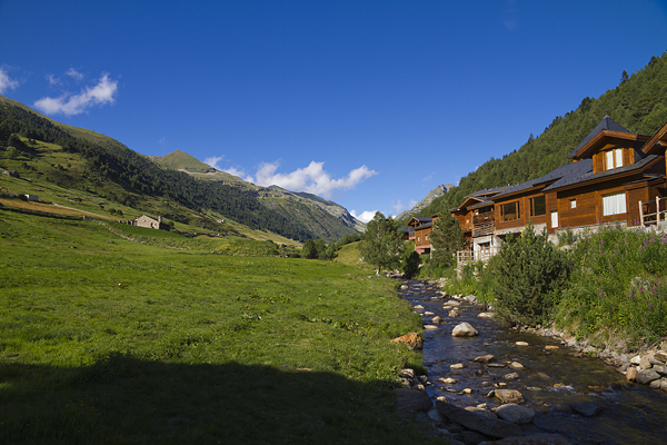
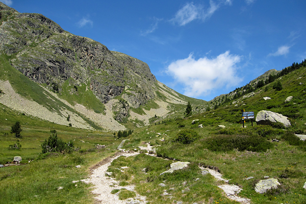
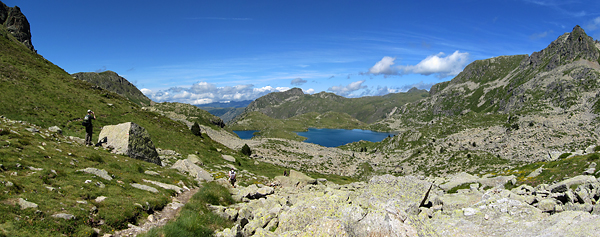
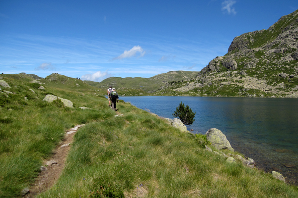
Így reggeli után megettük az ebédet is (előző napról maradt – kicsit sokat csináltunk – tészta), majd délután (már tökéletesen derült ég mellett) egy könnyedebb sétára indultunk, amolyan pihenőnap jelleggel. Vasárnaphoz hasonlóan a saját völgyünk (lásd kilátás a szállásunkról az első képen) végében levő parkolóból indultunk [1840 m], és a Port d’Incles a de Fontargenta hágón [2263 m] keresztül a hasonló nevű tavakig mentünk el.

20100805hike2

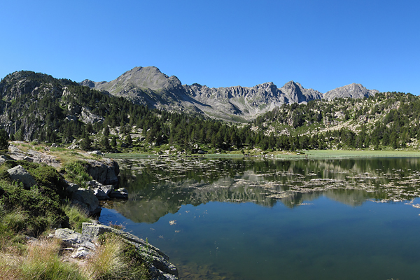
Lazításnak pont megfelelő volt (a GPS-es adatok itt), a tavak (Estanys de Fontargenta) pedig megint csak nagyon szépek voltak, viszont a beígért melegedés helyett igencsak hűvös volt az idő…

20100805hike3

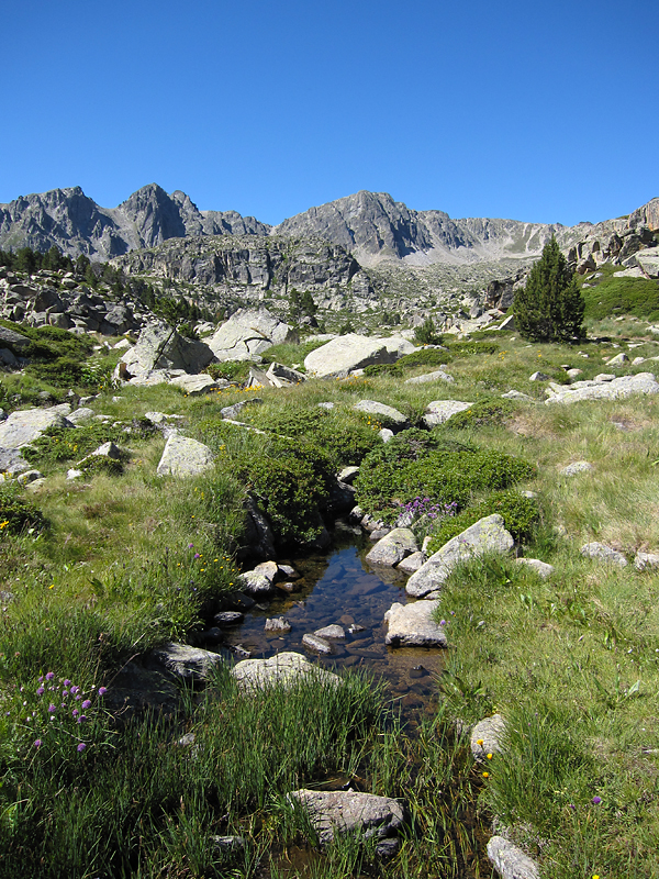
Pénteken még egy nagyobb túrával szerettem volna lezárni ezt a szép hetet, ami szerencsére sikerült is, és még egy kis kaland is akadt közben. Egyébként az volt igazán szép Andorrában, hogy minden nap más környezetben túráztunk, volt csupa sziklás vidék, füves mezők, virágos völgyek, szürke sziklák, vörös sziklák, éles csúcsok, lapos tetők, minden. És az időjárás is változatos volt, de általában a jó kirándulóidő keretein belül (csak egy nap volt, amikor nem húztunk túrabakancsot). Na de vissza az utolsó napra.

20100806hike01

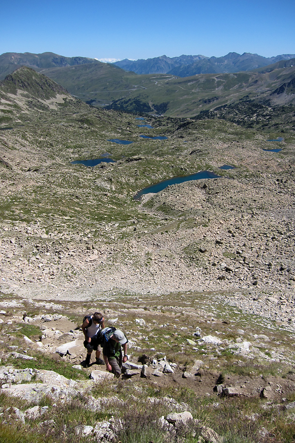
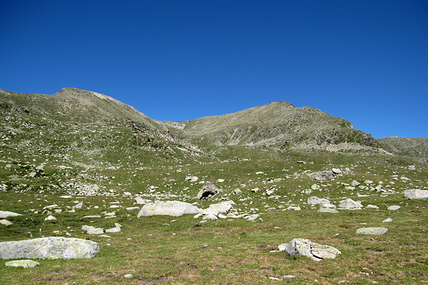
Mivel az ország északi és nyugati felében már koptattuk a turistautakat, elérkezett az idő a déli határszél meghódítására. Kiindulási pontnak az el Grau Roig sícentrum hatalmas (és nyáron igen üres) parkolóját választottam [2110 m]. Egy kis kapaszkodó után először át kellett jutnunk egy számtalan kis tavat rejtő völgyön, mely régebben gleccservölgy lehetett.

20100806hike02

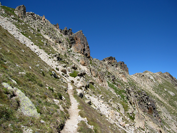
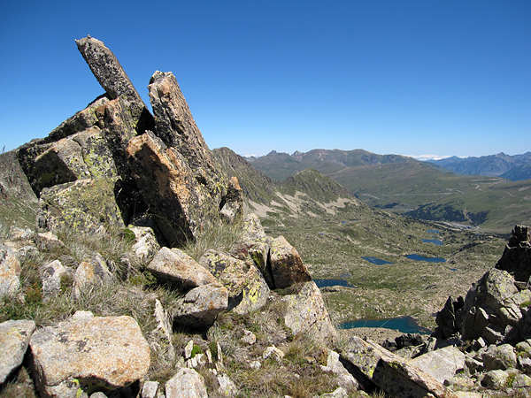
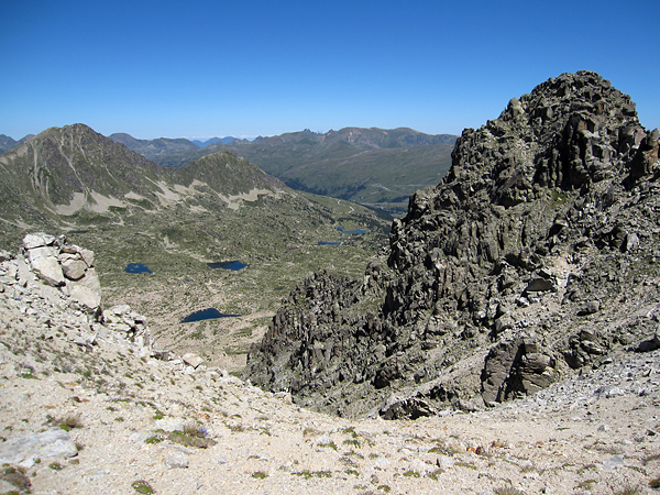
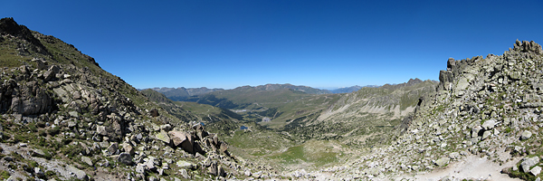
Ezután egy kicsi, de meredek szerpentin (lásd az alábbi képeket) leküzdése után jutottunk a csúcsra vezető gerincre (ahol egyesek – azaz én – órákat töltöttek fotók készítésével, továbbá látni lehetett a Pireneusok legmagasabb csúcsát is, valamint Andorra pár nappal korábban meghódított legmagasabb pontját is).

20100806hike03

20100806hike04

Innen könnyű – de lélegzetelállító – séta vezetett a gerincen meredező hegyes sziklák között a kissé hosszú nevű Pic del Pessons o del Gargantillar [2864 m] csúcsára.

20100806hike05

20100806hike06

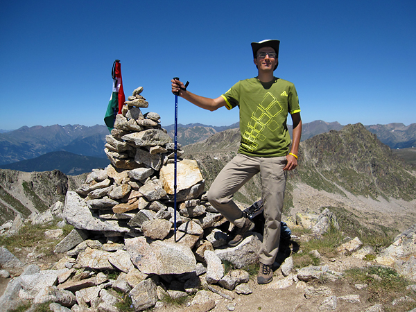
Itt a szokásos zászlós csúcsfotózás és ebéd után (gyönyörű felhőtlen, napsütéses, meleg időben, majdnem szélcsendben) kis kitérőt tettünk Spanyolország felé.

20100806hike07

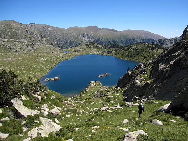
Északkeleti irányban leküzdhetetlennek éreztük a gerincet (fenti kép jobb oldala), ezért úgy döntöttünk, hogy a Pas Alt de Ríbuls-on keresztül kis kitérőt teszünk és leereszkedünk egészen a Estanys de Montmalús tavakig [2440 m].

20100806hike08

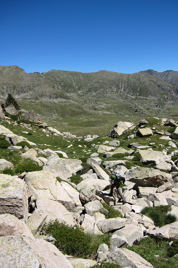
Nos a leereszkedés az igen érdekes volt, ugyanis jelek és ösvény az megint nem volt, így néhol ember nagyságú sziklákon keresztül (a fenti képen Steven az egyetlen lankásabb részen halad éppen, máshol is hasonló kövek voltak, csak épp durván lefelé), néhol keskeny hasadékokon át jutottunk le a tóhoz.

20100806hike09

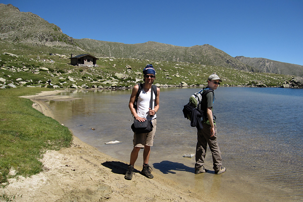
Bazi nehéz volt, de a látvány menet közben mindenért kárpótolt – mindannyian egyet értettünk abban, hogy megérte ezt az “utat” választani. Arról nem is beszélve, hogy a tó maga is nagyon kellemes volt, Samuel még egy kis patakot is feldúzzasztott :)

20100806hike10

Innen a nem sokkal korábbi lejtmenetnél jóval enyhébb emelkedő vezetett fel a Collada de Montmalús hágóig [2707 m]. Itt csak a tűző nap és a relatíve nagy meleg jelentett kisebb nehézséget (szerencsére napolajunk még mindig volt).

20100806hike11

20100806hike12

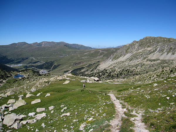
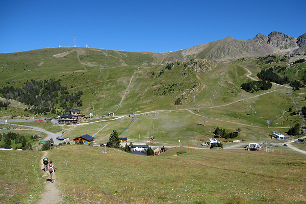
Végül részben a nap elején már megismert úton, a sípályák között sétálltunk vissza a parkolóhoz. Ide azért télen is szívesen eljönnék, mert az egész ország egy nagy sícentrum, végeláthatatlan sípályákkal… (A túra GPS-es adataiért klikk ide.)

20100806hike13

20100806hike14

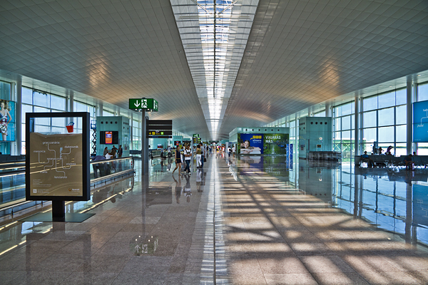
Este még egy utolsó kártyázást csaptunk, aztán összepakoltunk, és másnap hazarepültünk (mármint Belgiumba haza) a barcelonai reptérről (lásd lenti kép – imádom a csillogó reptereket :D). Mi más is fogadhatott volna minket, mint eső :) Szerencsére Steven édesapja hazáig fuvarozott, így tizenegy körül már itthon is voltam.

20100807bcn

Azt nem tudom, hogy mikor lesz on-line az összes (vagy legalább egy válogatásnyi) kép, de sok dolgom van, és még tavaszi képekkel is adós vagyok. Egyelőre tessék beérni ezzel, ami itt van. Szüleimnek köszönöm a szállás felajánlását, nagyon élveztük ezt a hetet!