Author Archives: Péter I. Pápics

Road trip Scandinavia: Day 11 (Views around Geiranger, and the Lom stave church)

Yesterday – due to the lack of internet connection – even I went to sleep early, so this morning the alarm at 08:30 was not at all so unbearably painful. I was a bit grumpy because the weather was still cloudy and rainy, but the satellite images looked promising.

20170705_Roadtrip-1

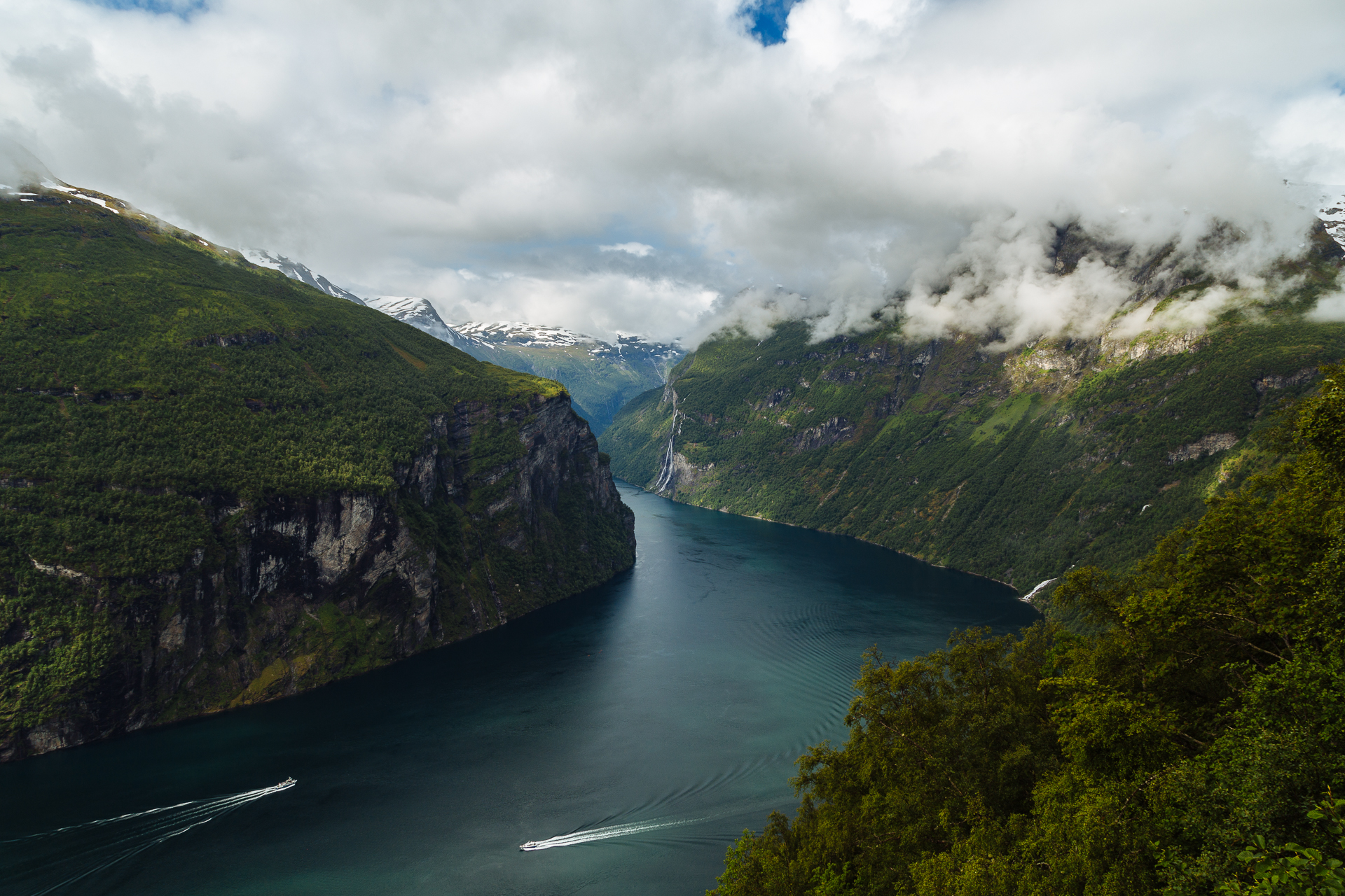
As we started driving further on the National Tourist Route we still got a few drops of rain, but then the clouds started to dissolve, and we could already see some blue sky upon our arrival to the first proper viewpoint (Ørnesvingen) above Geiranger. The view towards the bend of the fjord below was definitely special.

20170705_Roadtrip-2

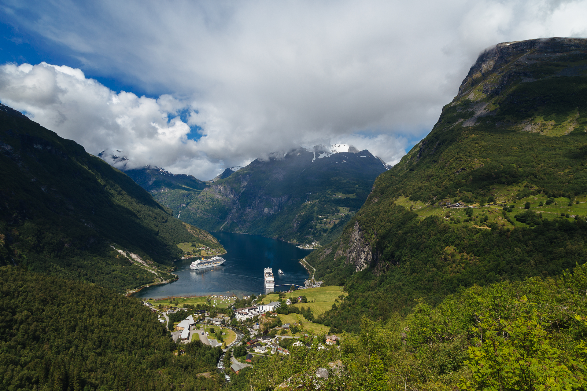
From here we descended into the village through a series of hairpin curves, where I unlocked the ‘climb back up in reverse through a 180 degree curve’ achievement while letting an ascending bus pass. Geiranger was at the time pretty much overflown by the tourist groups from the two cruise ships that rose high above the narrow harbour. We had a small lunch break here, before starting our drive out of the valley. Our next panorama point was at the Flydalsjuvet. Again, very pretty, with even more blue sky.

20170705_Roadtrip-3

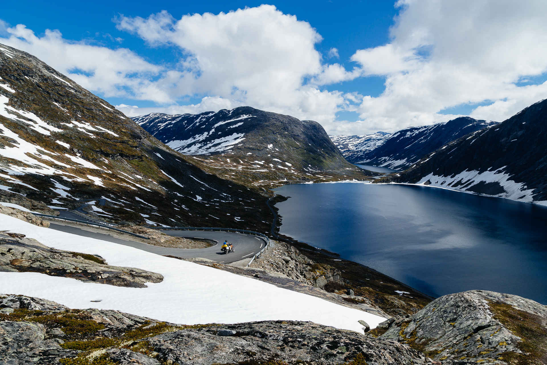
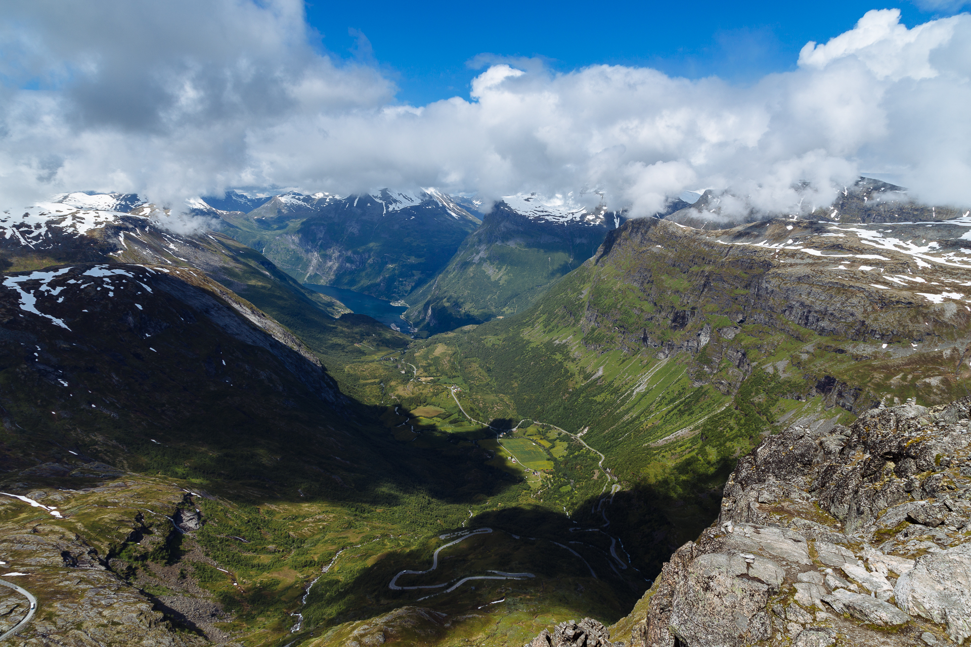
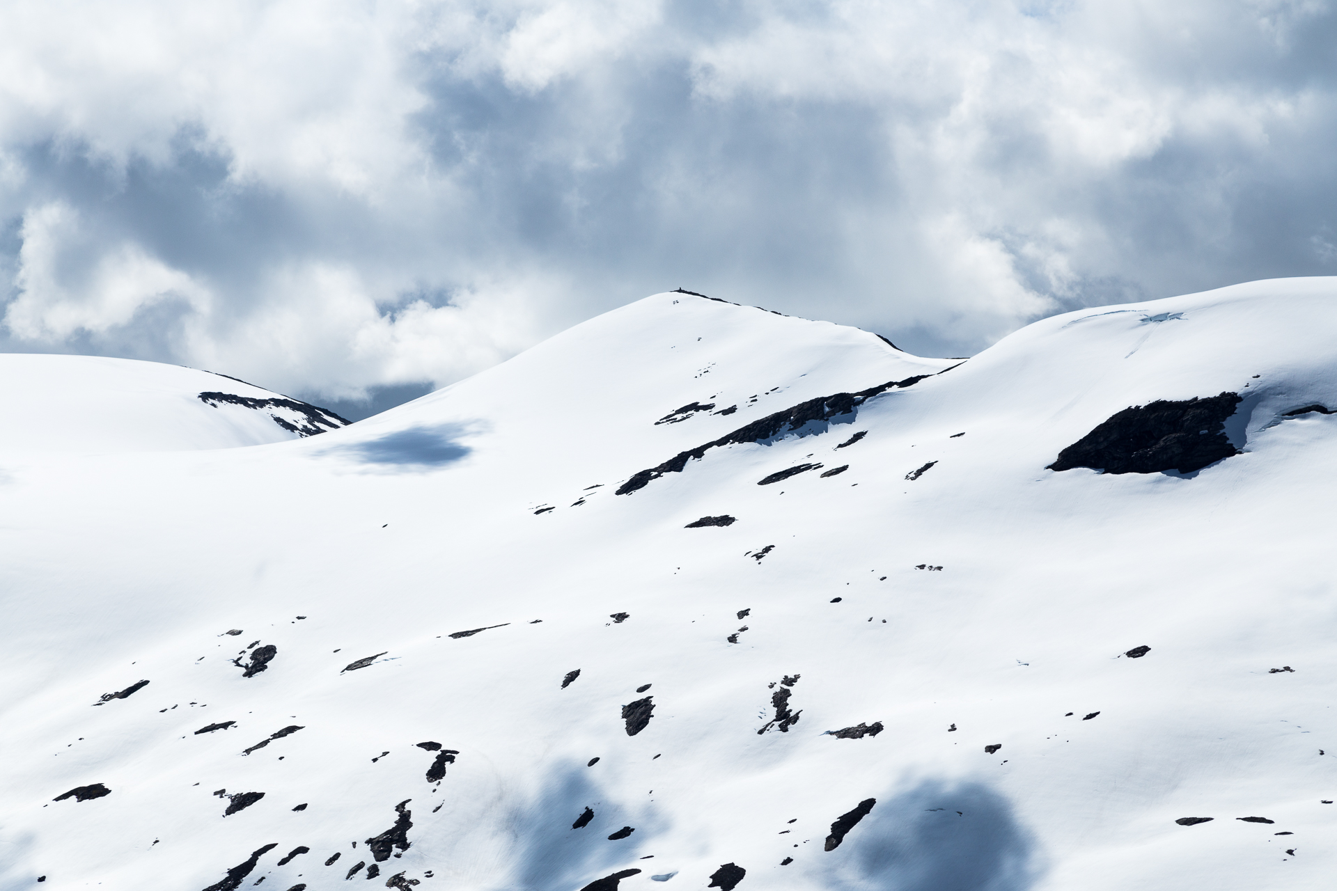
But the road went on even higher, and soon the trees were replaced by rock and snow. We took the toll road up to the Dalsnibba Mountain Plateau, from where you could look down into the green valley of the fjord to the North, and over the snow covered peaks to the South. It was only 5°C up here, so we made good use of all the layers we had.

20170705_Roadtrip-4

20170705_Roadtrip-5

20170705_Roadtrip-6

20170705_Roadtrip-7

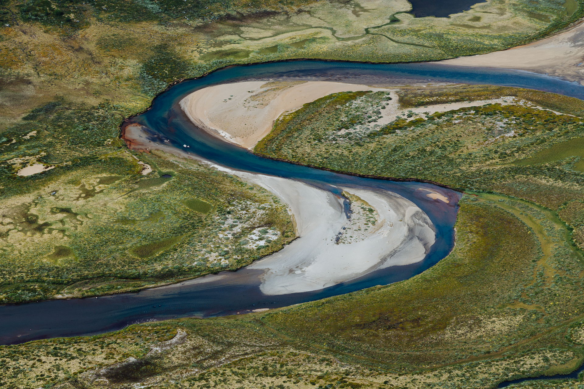
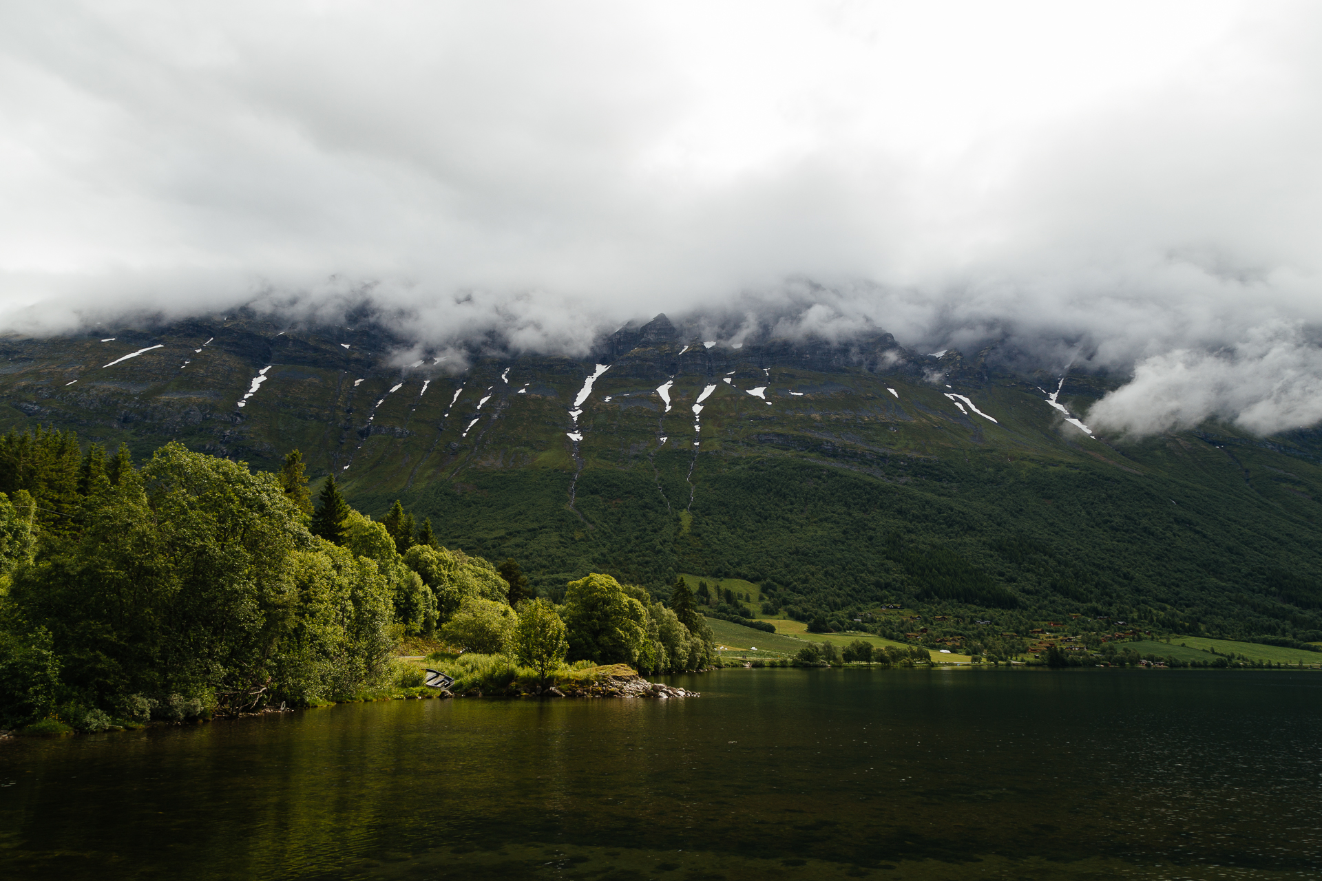
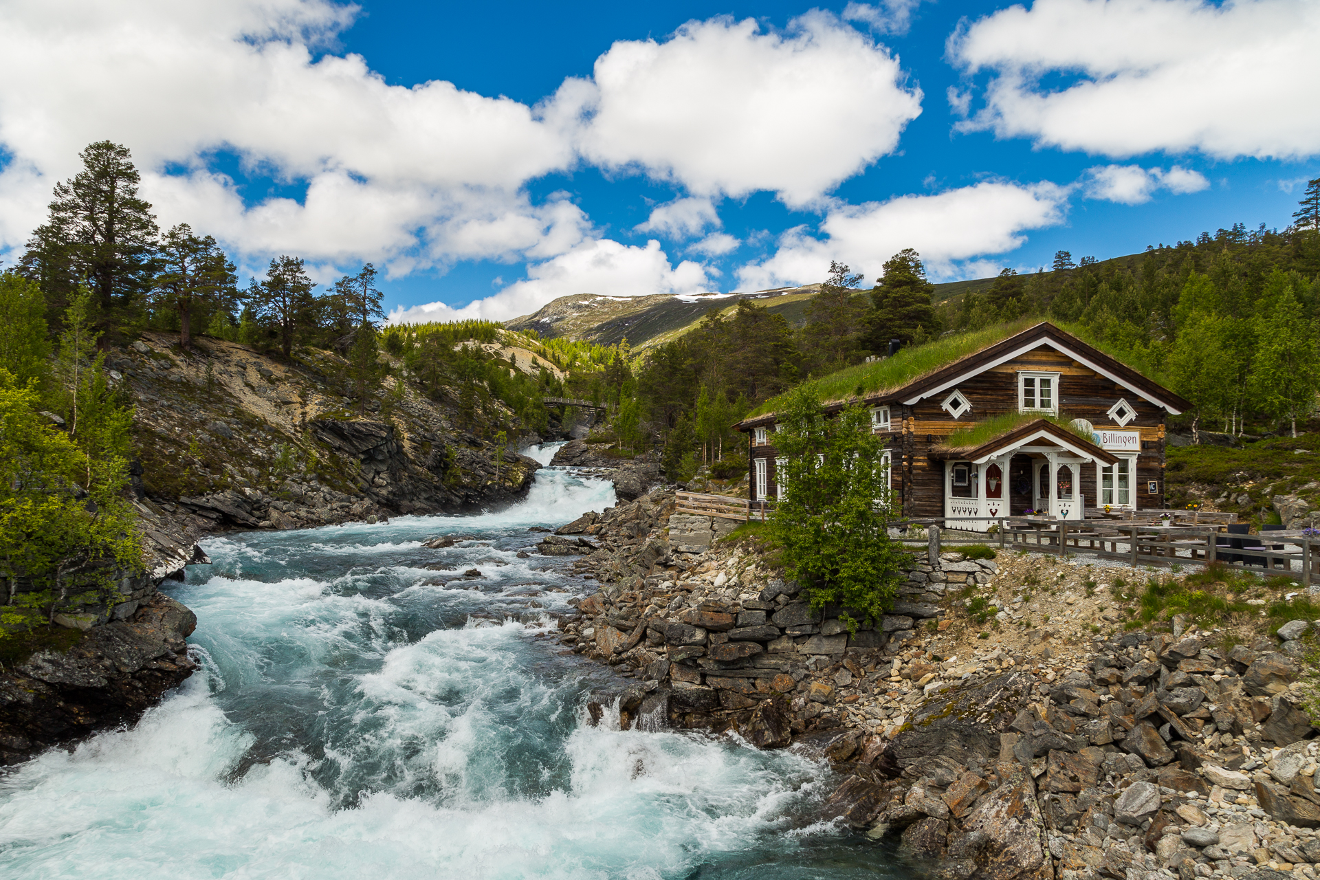
As we reached the end of the National Tourist Route and turned East, the scenery changed drastically: we left the narrow valleys and rugged mountains behind, and entered a more open, wide river basin. The meltwater had different shades of deep blue and green, first surrounded by pine forests, then agricultural areas as we drove further down.

20170705_Roadtrip-8

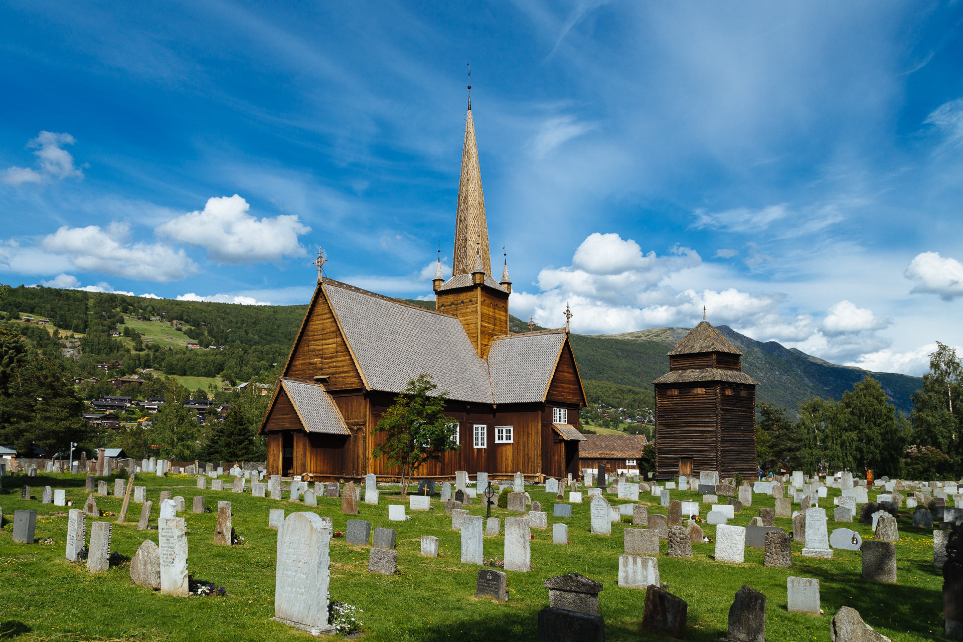
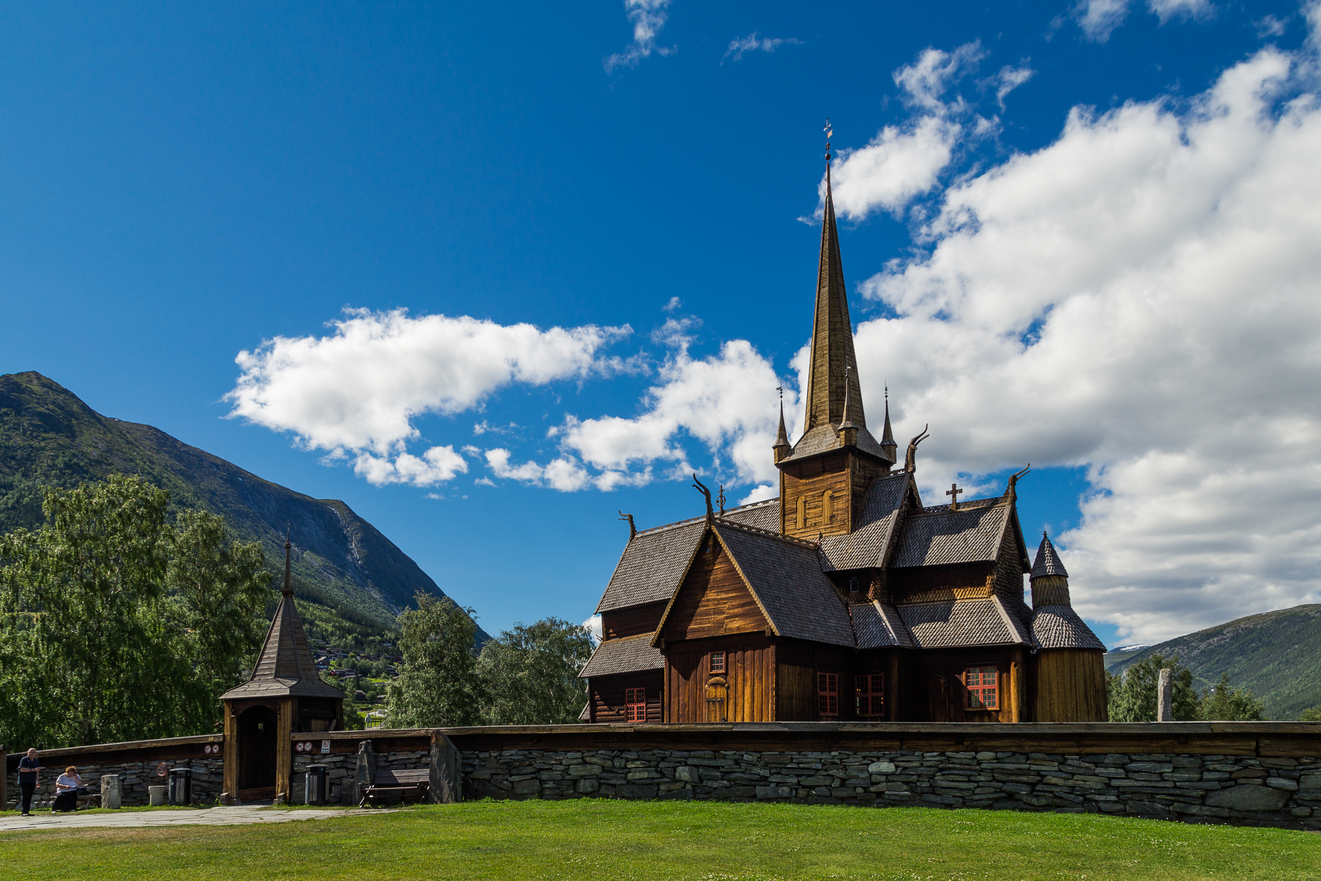
A good hour later we arrived to the stave church of Lom. What can I say, this was another pretty wooden church, and we were OK with that :)

20170705_Roadtrip-9

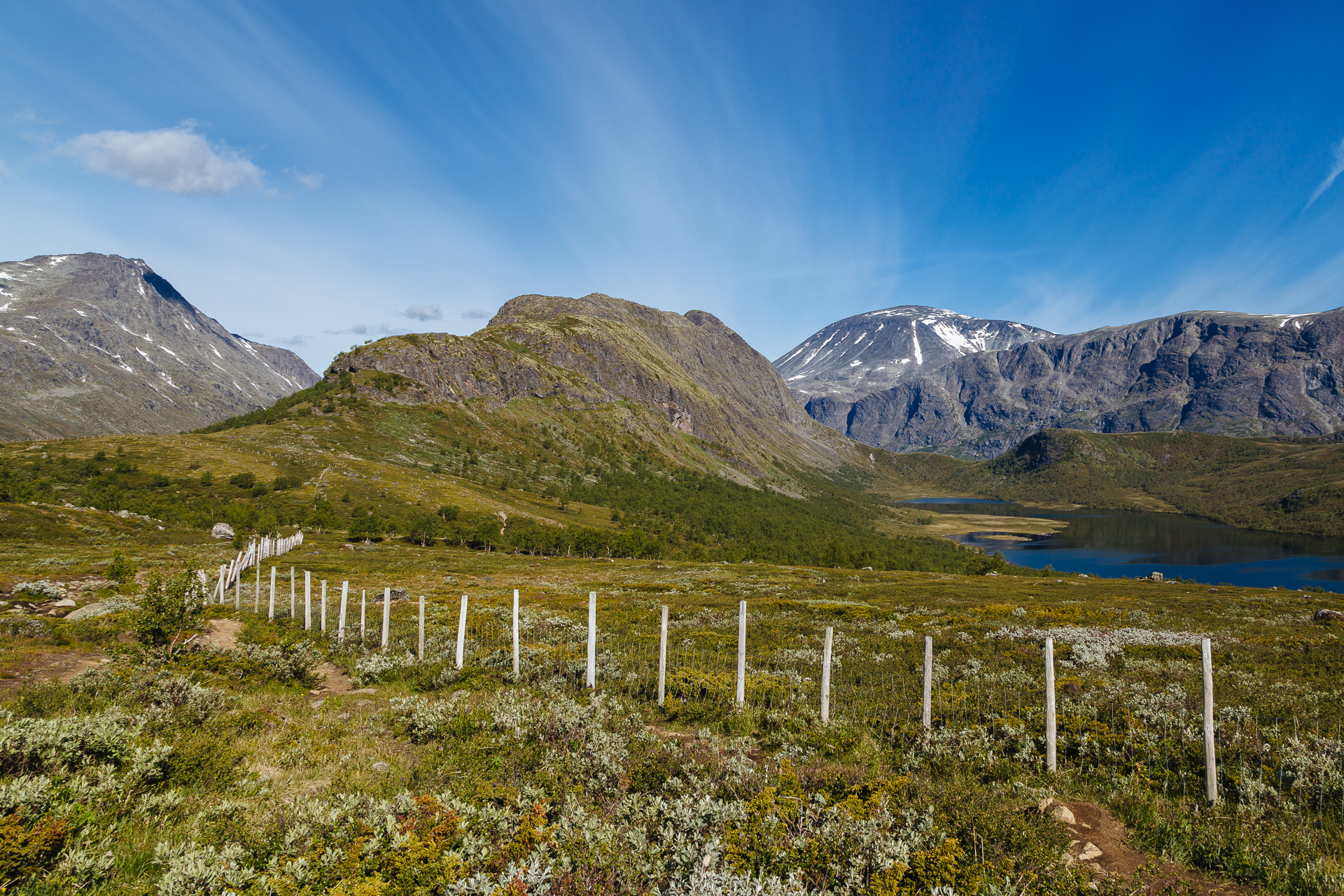
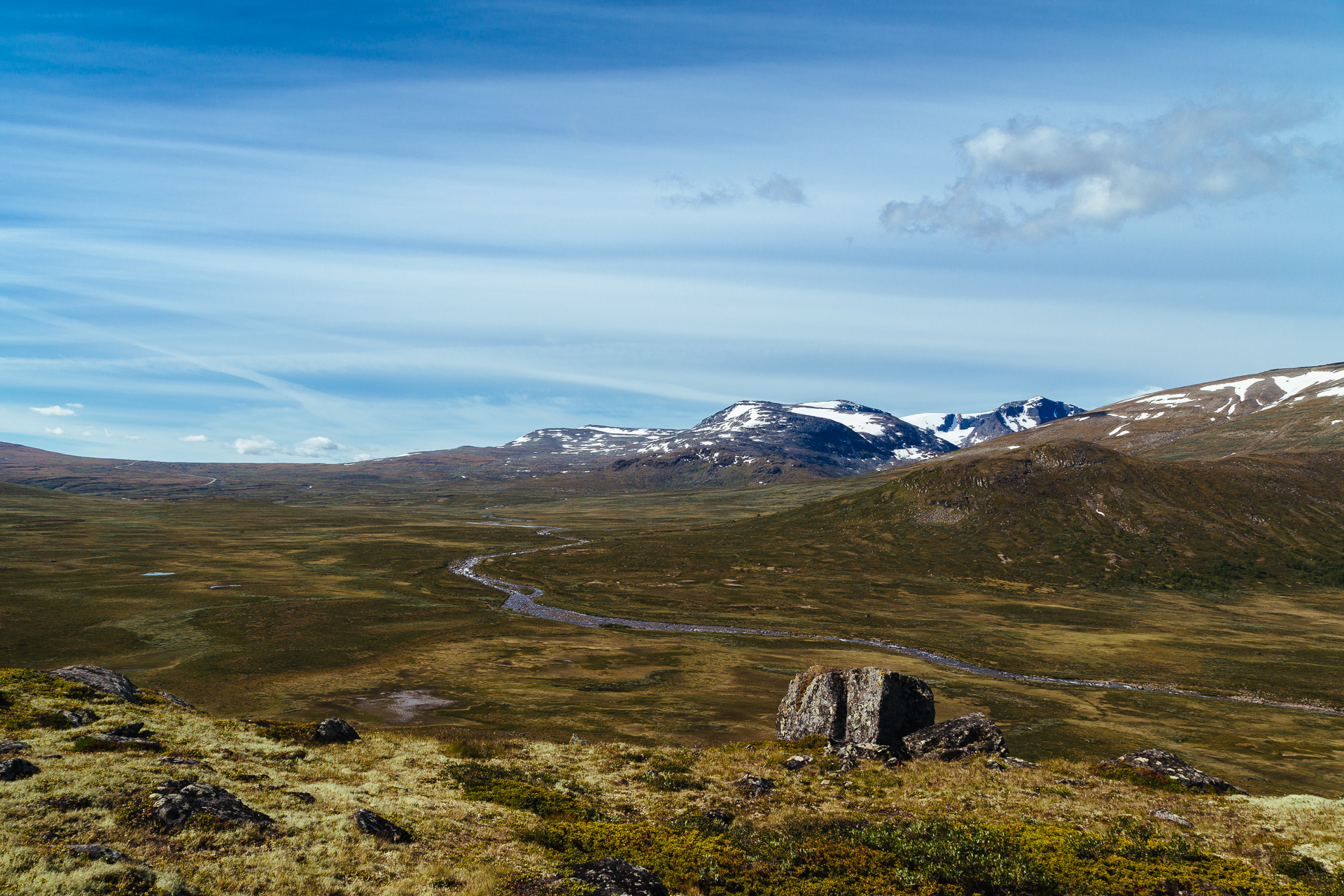
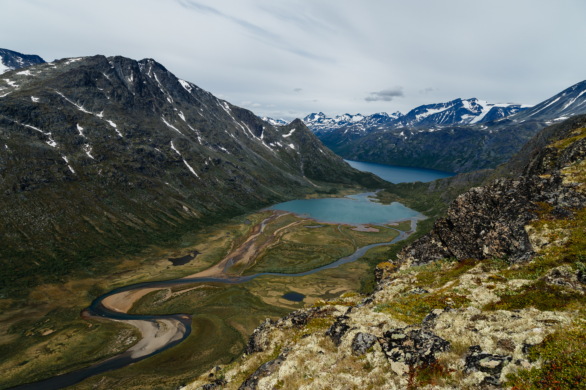
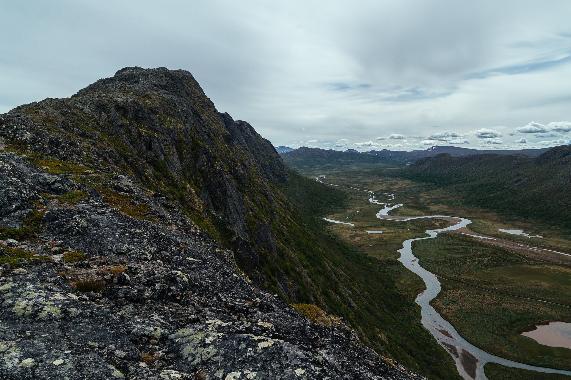
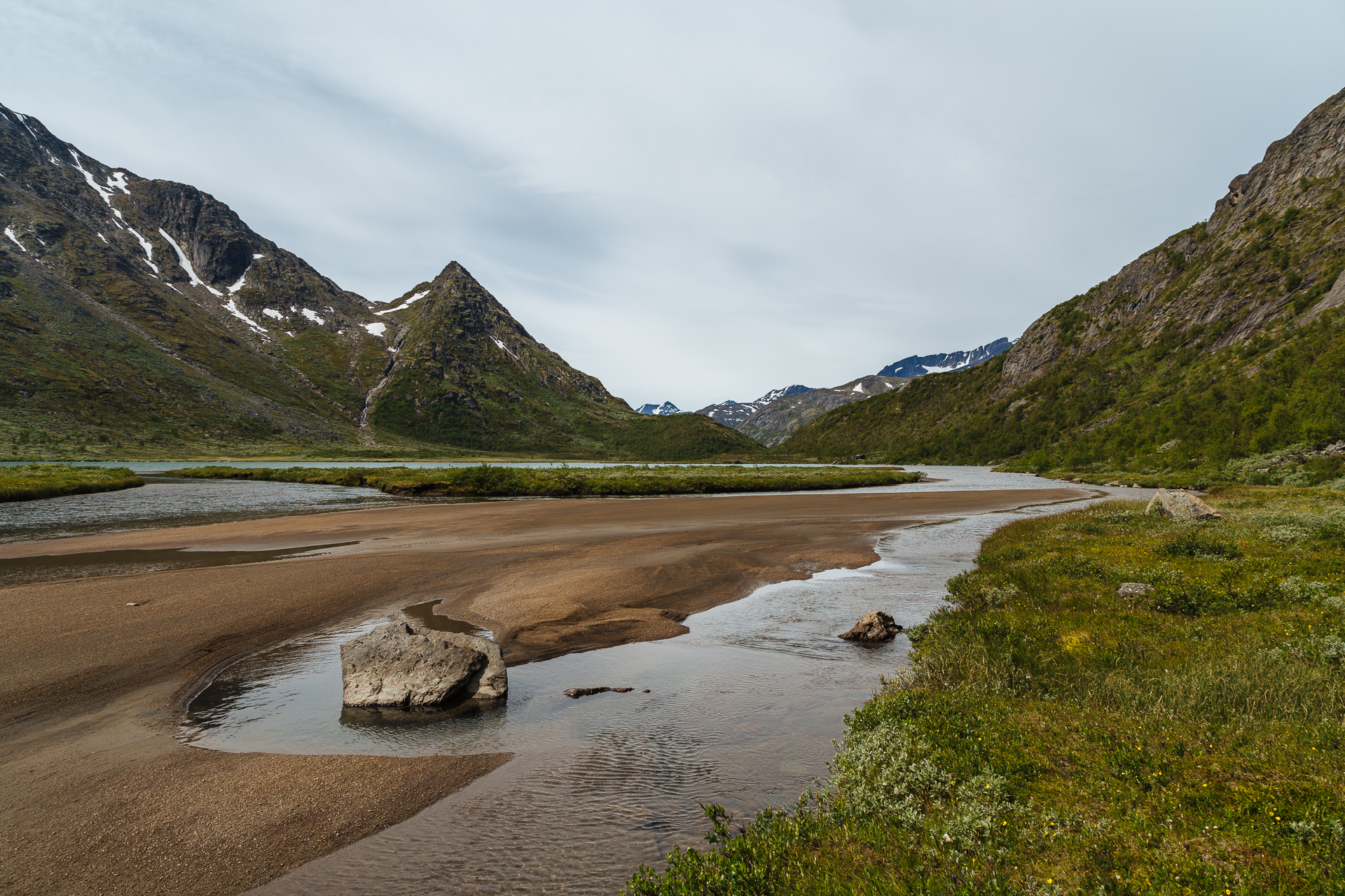
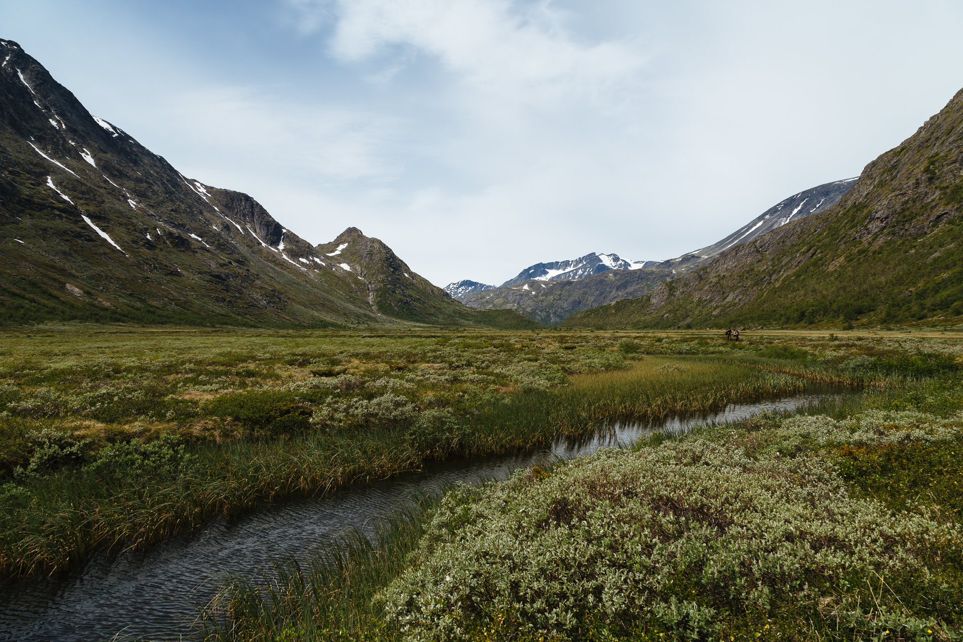
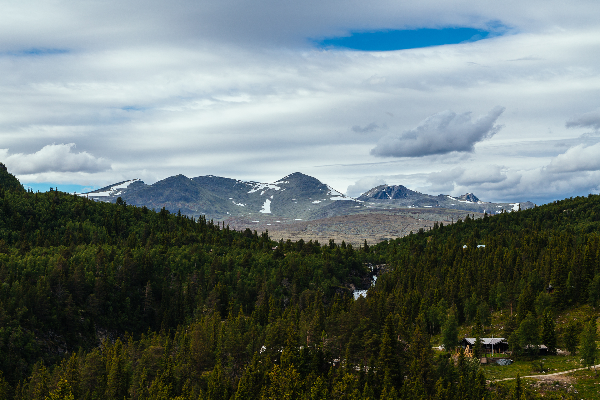
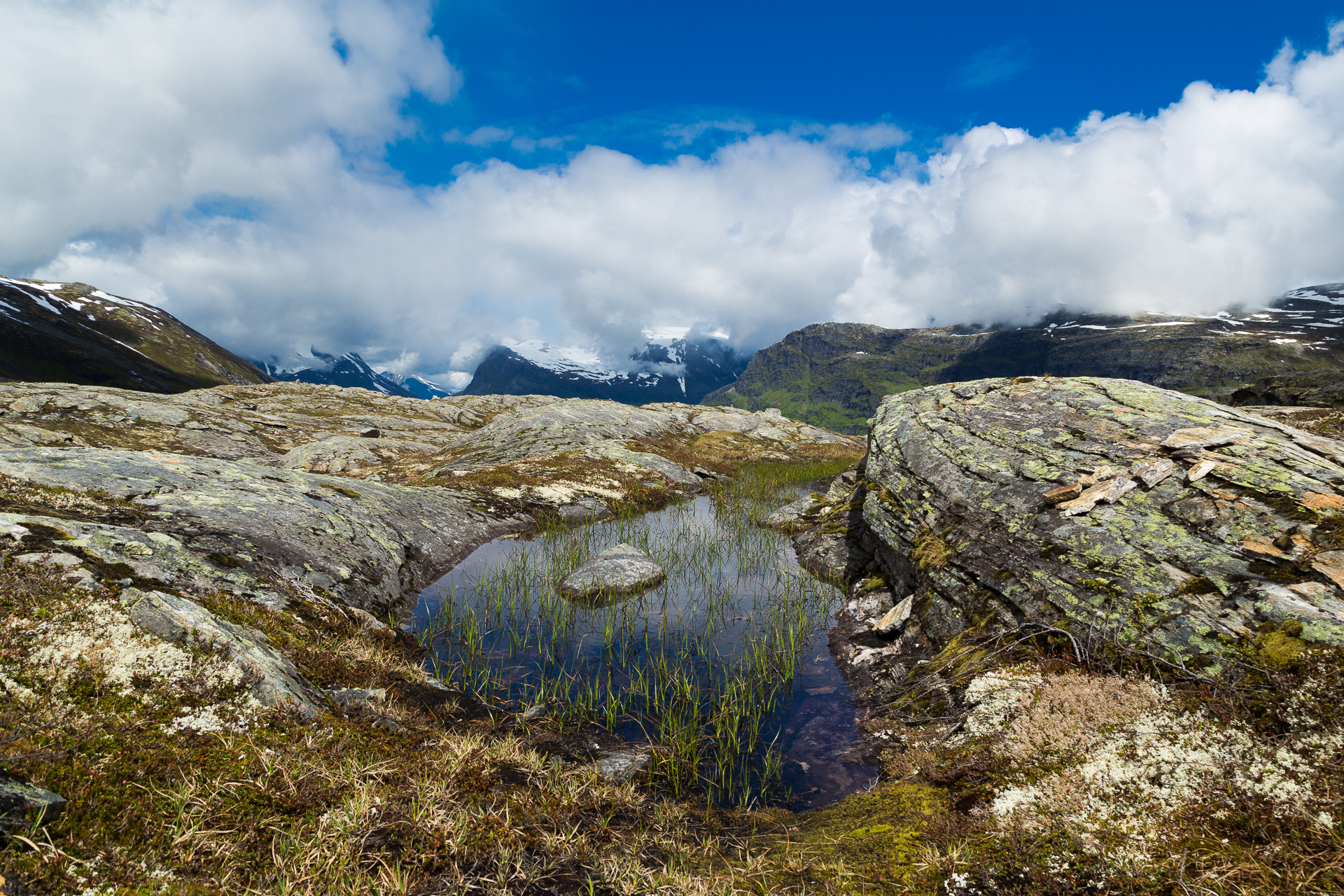
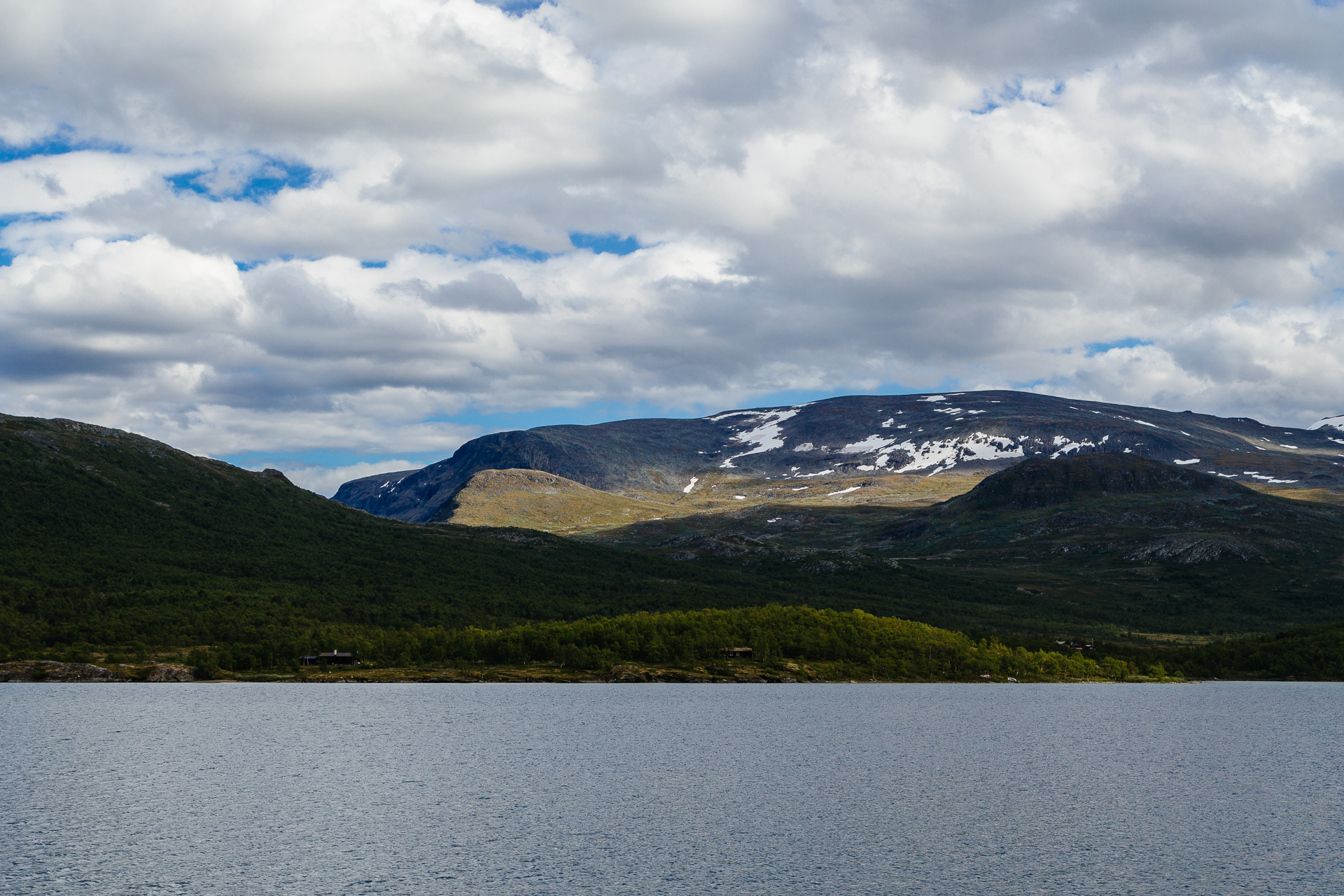
Soon afterwards we turned South towards the Jotunheimen National Park, taking another National Tourist Route into the mountains. This is a very different area compared to the ones we have seen to the West, with less vegetation, and much more open space.

20170705_Roadtrip-10

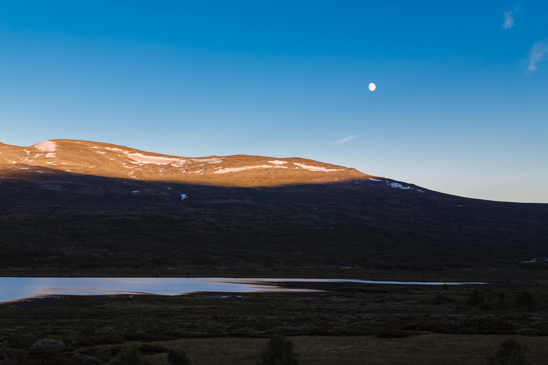
Tonight we are staying in the Bessheim Fjellstue, and the buffet dinner was delicious (and we both ate way too much of it). Before going to sleep, we still drove to the starting point of tomorrow’s hike to see the scenery under the evening lights too.

20170705_Roadtrip-11

Odometer reading at the end of the day: 2899 km (of which 220 km was today).
Road trip Scandinavia: Day 10 (View from the Rampestreken, and the Trollstigen)

This morning we hit the road around 10:00, and drove to Åndalsnes (via the scenic Tresfjord, instead of taking the shortcut over the new bridge). On the way there we passed the Northernmost point of our road trip!

20170704_Roadtrip-1

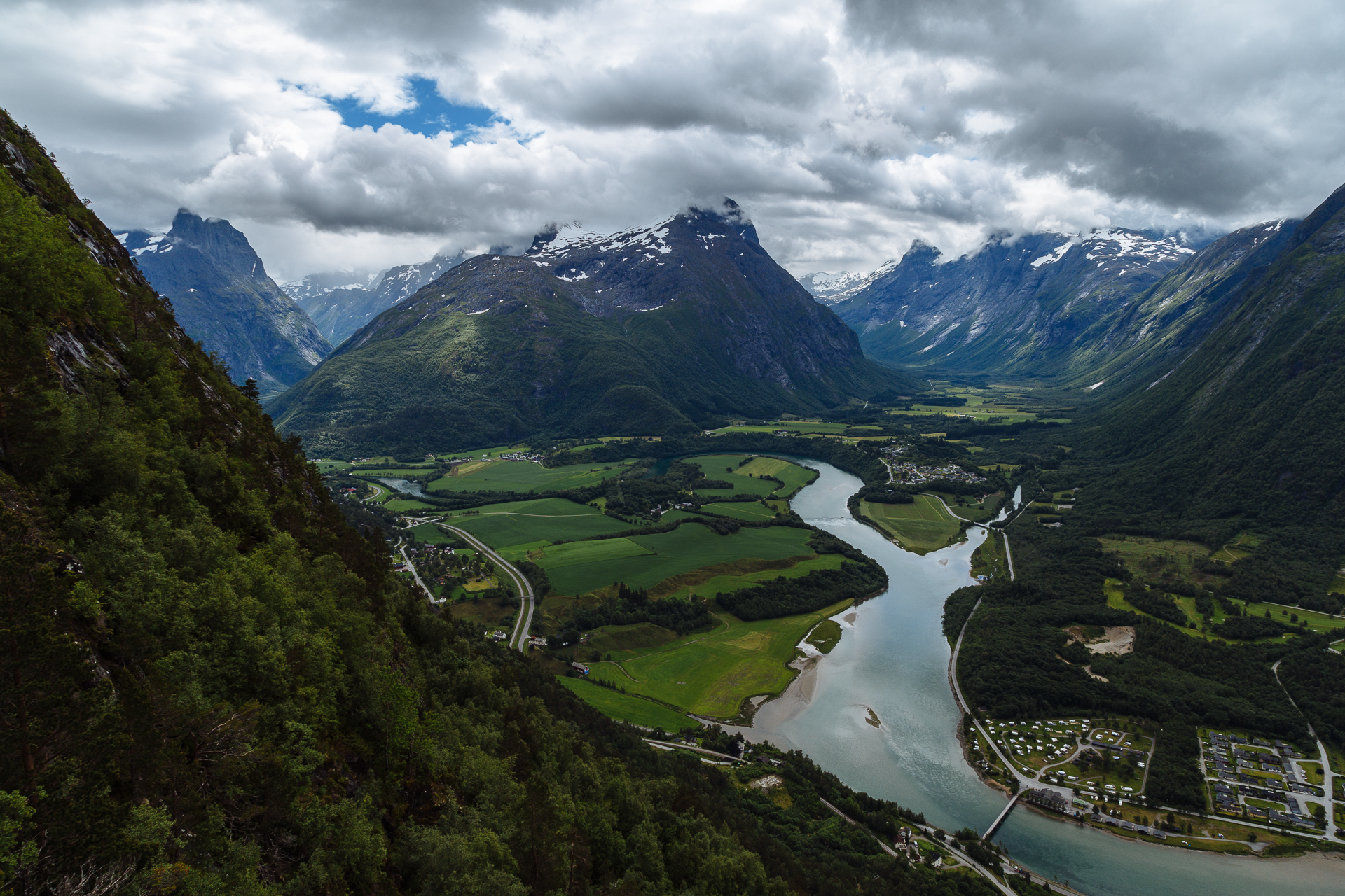
From the parking in Åndalsnes we did a short but very steep hike up to the Rampestreken viewpoint (details on Strava). The panorama from the skybridge was beautiful, but I am getting a bit fed up with the cloudy weather. Is this still the payback for Bergen?!?

20170704_Roadtrip-2

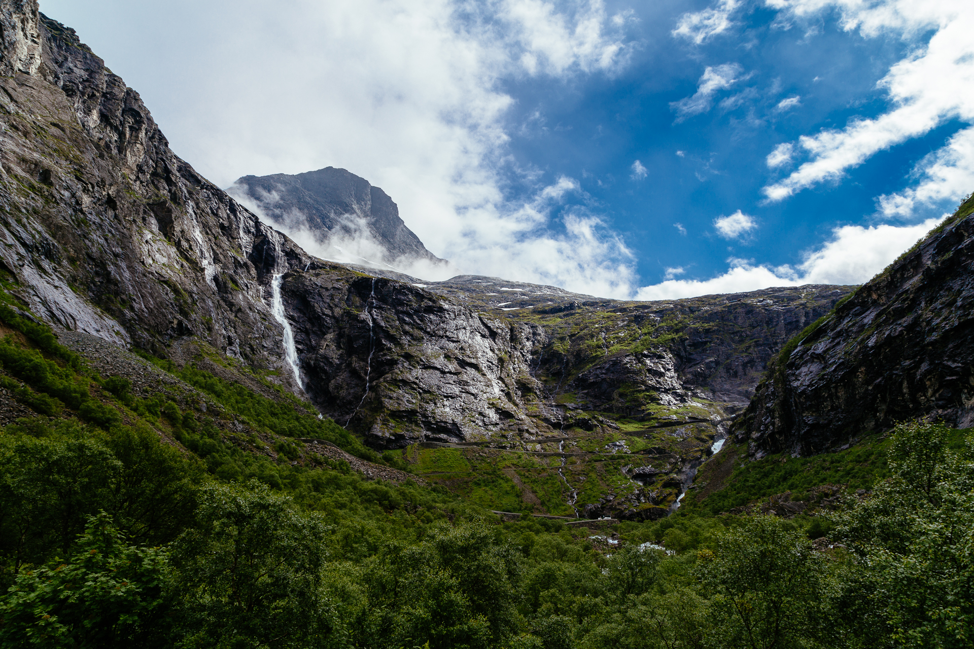
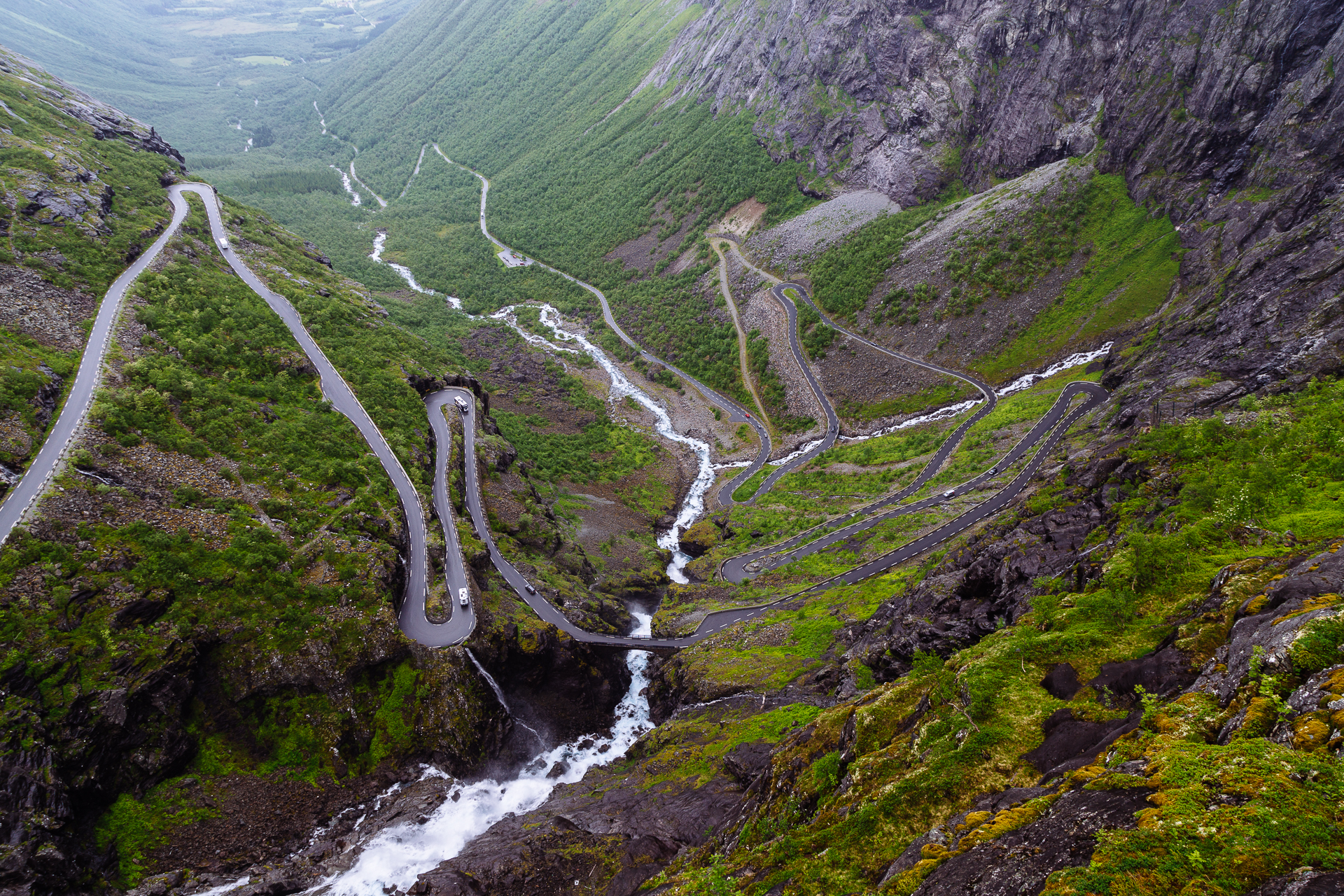
From here we drove onto our next National Tourist Route to climb over the Trollstigen. Clio was happy that we did not encounter much traffic (or trolls) along the narrow hairpins during the ascent. From the top we could enjoy the view towards the winding road and numerous waterfalls below in the increasingly heavy rain.

20170704_Roadtrip-3

20170704_Roadtrip-4

20170704_Roadtrip-5

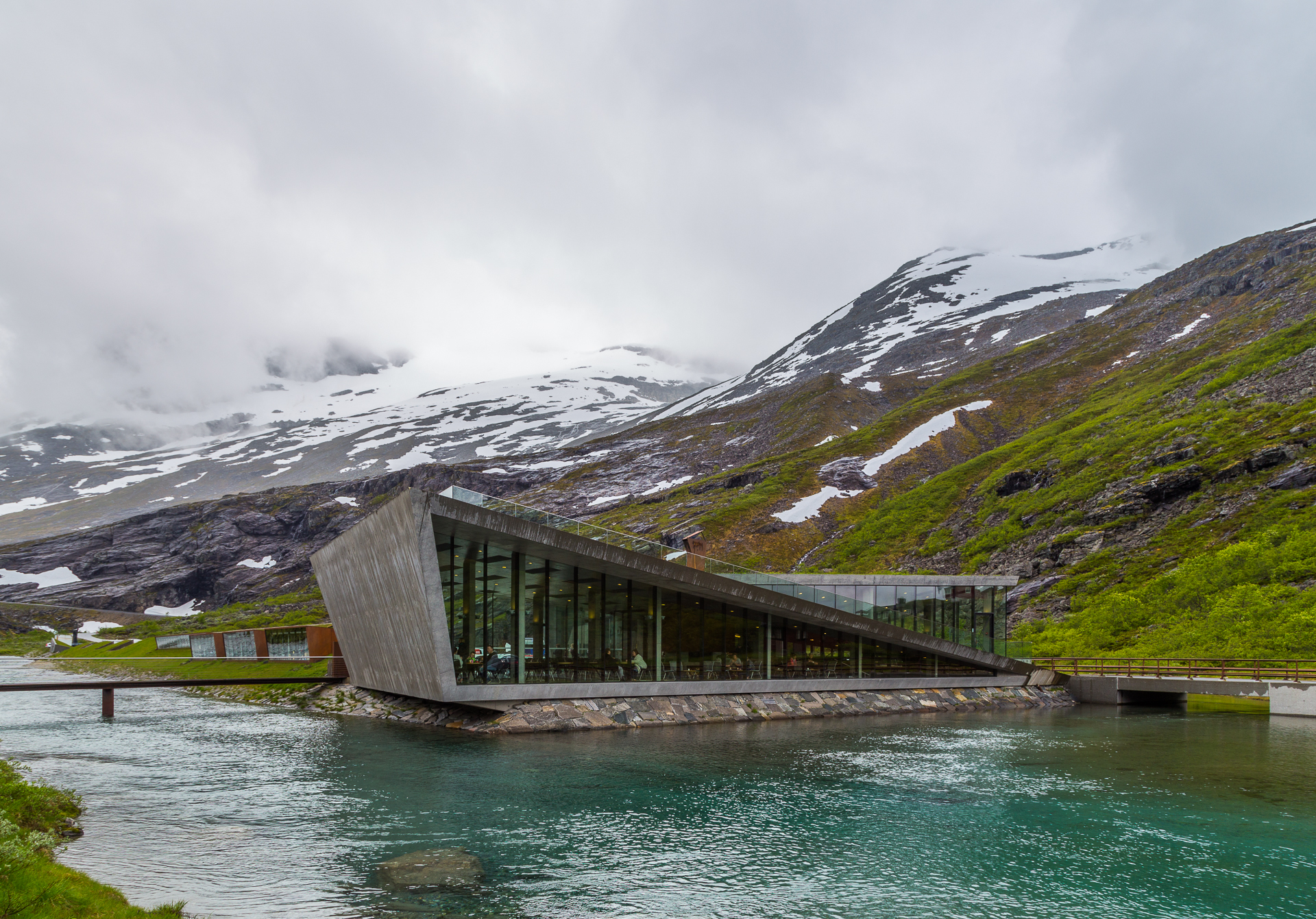
After a short coffee, hot chocolate, and cake stop we drove further into the clouds. On the way down we stopped at the Gudbrandsjuvet gorge, before taking the ferry over the fjord to Eidsdal. By then the rain stopped, and blue patches opened up between the clouds. Tonight we are staying in another small wooden cabin in the Eidsdal Camping og Feriehus, and I am already at the last megabytes of my data plan. Please send donations for the following chapters…

Odometer reading at the end of the day: 2679 km (of which 189 km was today).
Road trip Scandinavia: Day 9 (Ålesund)

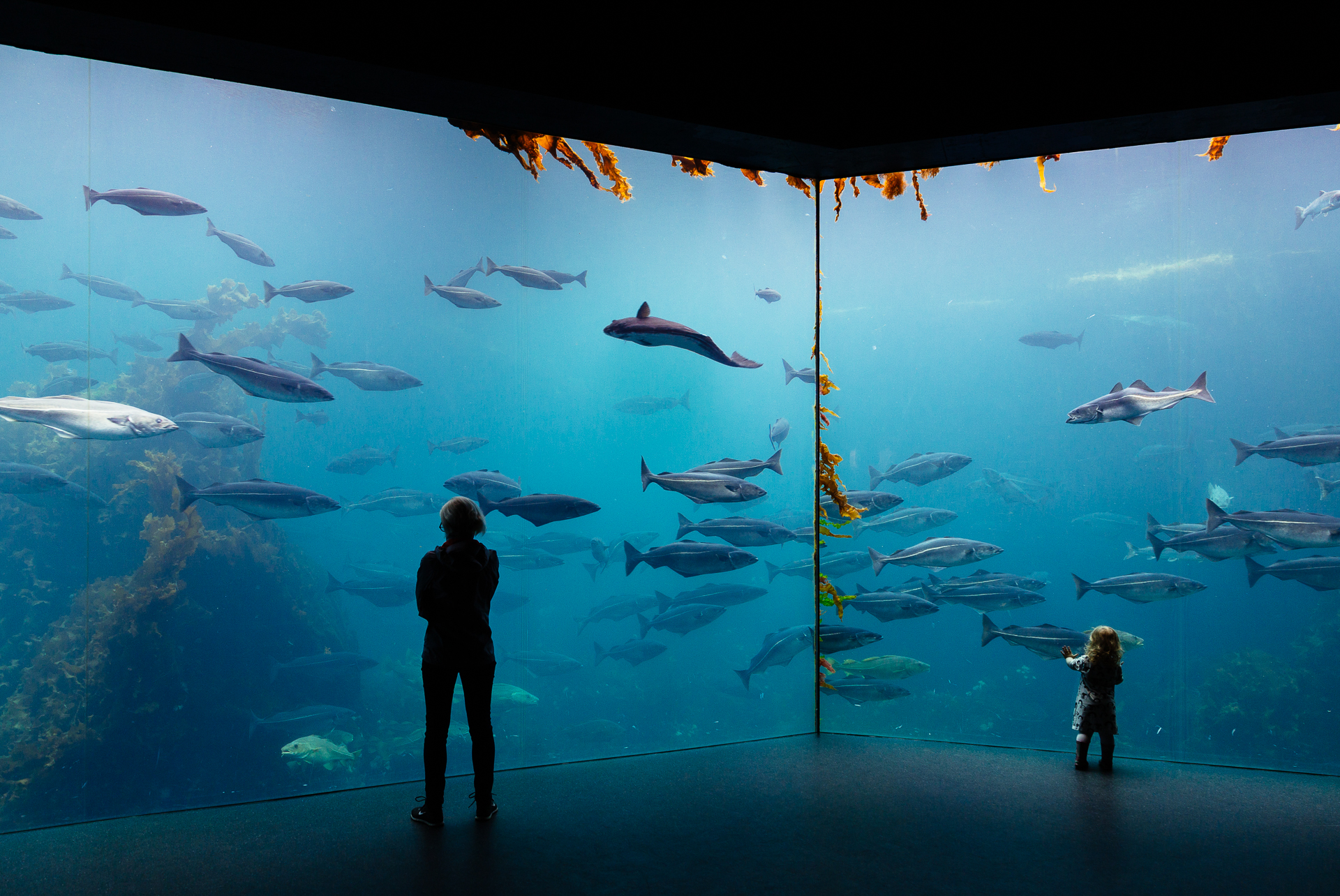
It rained pretty hard almost all night long, but that was not enough for mother nature, so we left the hotel after a good breakfast in still something more significant than a drizzle. Given the weather conditions, we drove straight to the far side of Ålesund to the The Atlantic Sea Park. Clio loves aquariums, and here we could learn about fish that live in the local waters. It was definitely worth a visit.

20170703_Roadtrip-1

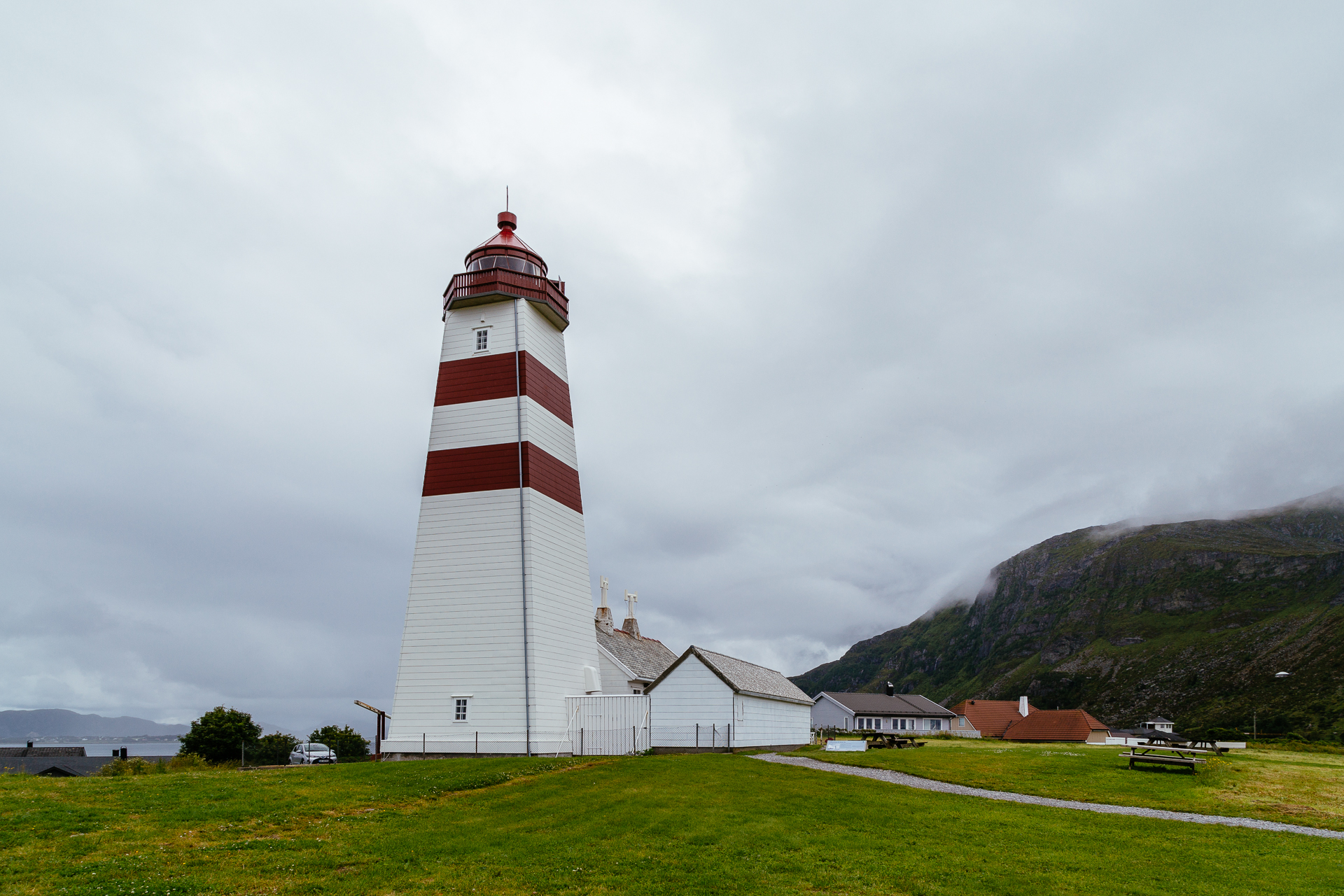
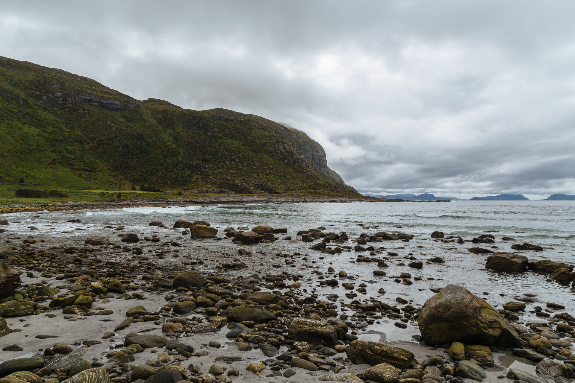
Afterwards we drove over a series of subsea tunnels and a steep bridge to the island of Godøy, where we walked around the lighthouse of Alnes (an old fishing village), and had a short stroll on the local beach. Partly due to some serious luck, and partly me checking the weather radar every five minutes on my phone and trying to schedule our day accordingly, we stayed almost completely dry here. Unluckily this situation was clearly not going to last much longer, so we could not do the small hike that I had planned to the top of the island.

20170703_Roadtrip-2

20170703_Roadtrip-3

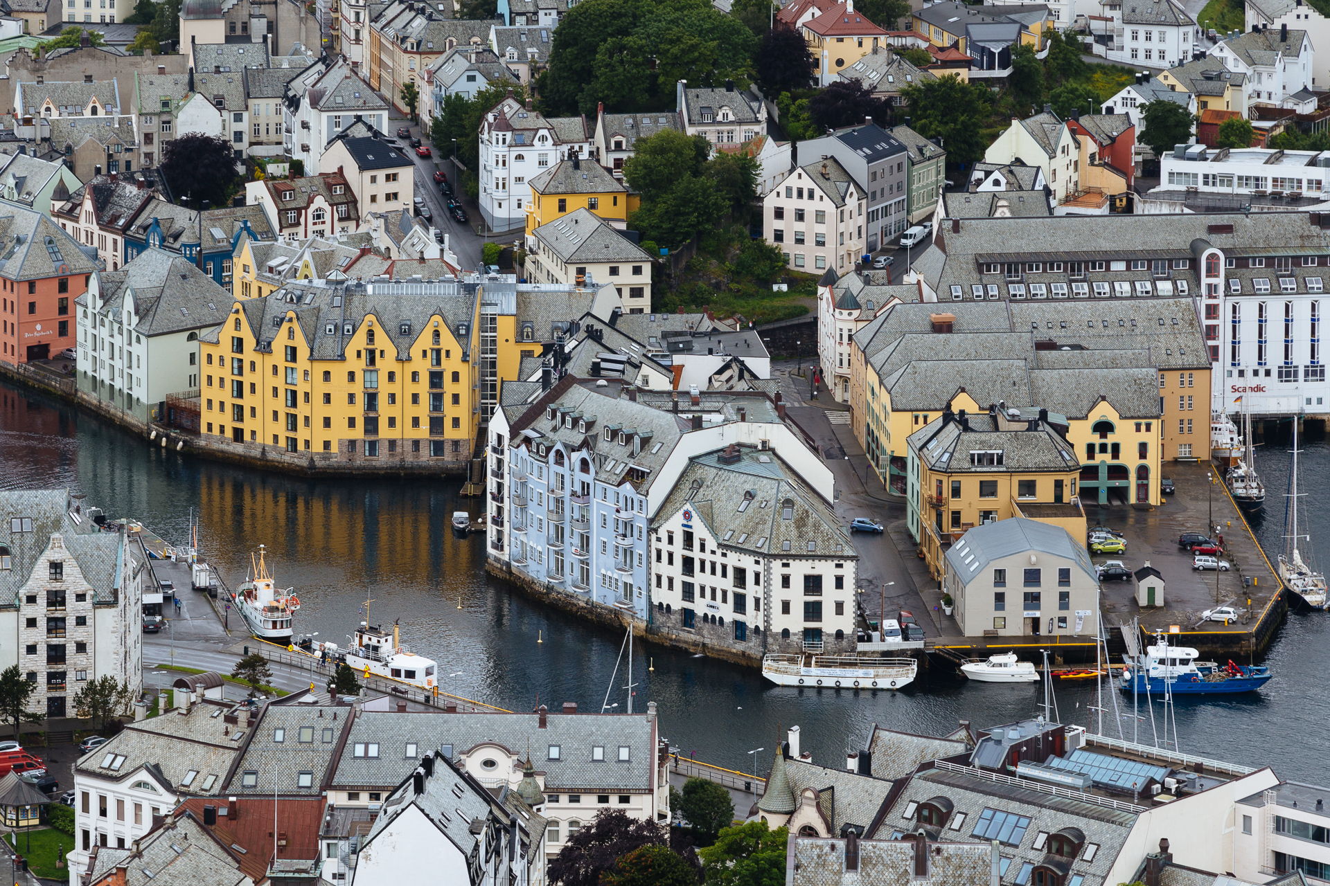
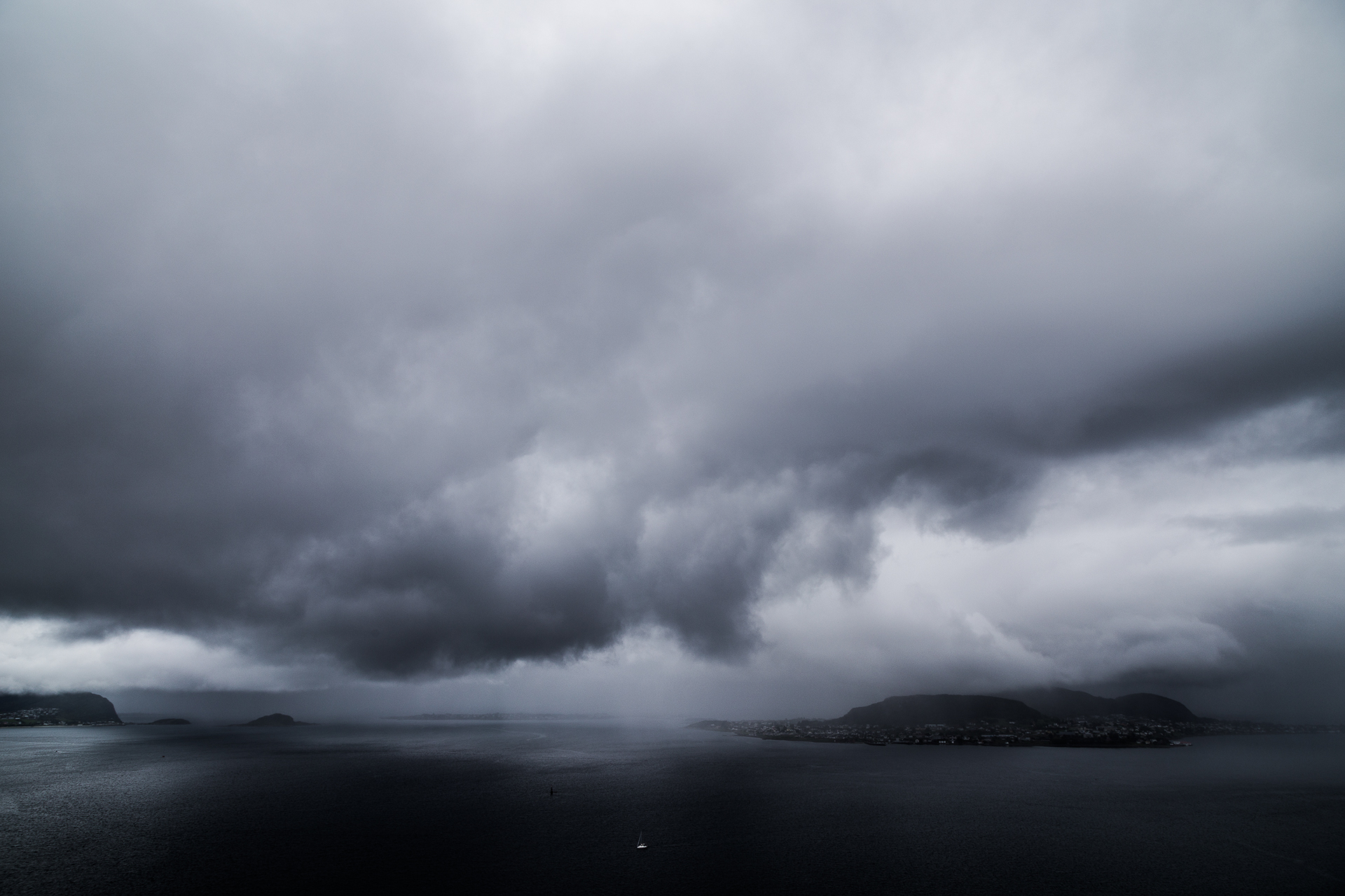
As a next step we drove back towards the city, following a steep and narrow road up to the Aksla Viewpoint, where we could enjoy the last minutes of dry weather before another downpour engulfed the mountain from the Northwest. The panorama of the city below was still beautiful, no matter the weather. By the time we were done here we could go and check in at our hotel (Quality Hotel Waterfront).

20170703_Roadtrip-5

20170703_Roadtrip-4

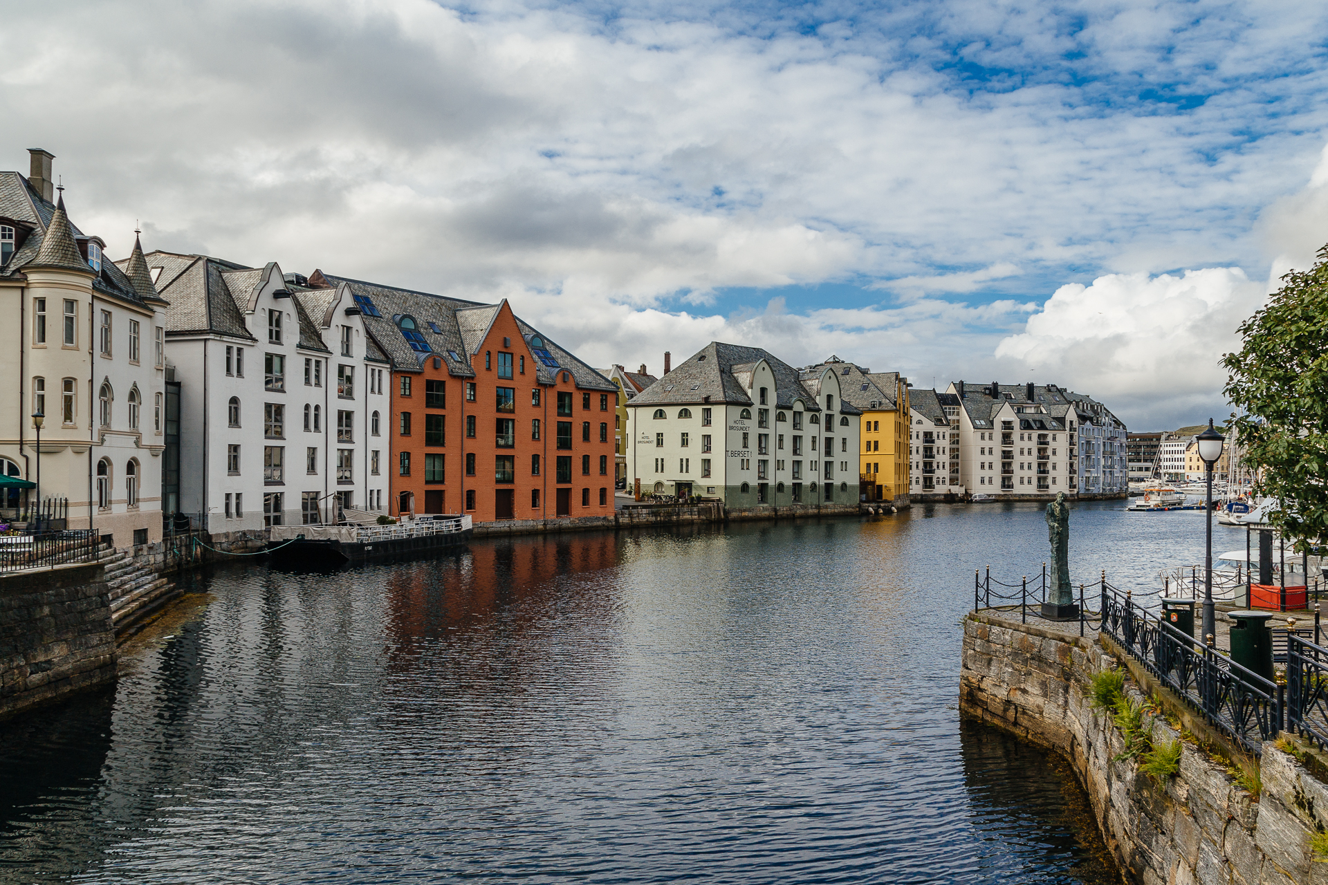
Following a short nap (while waiting for the rain to pass), we walked around in the centrum, which was fully rebuilt after the fire of 1904 in Art Nouveau style, resulting in an unusually consistent architecture throughout the city. After dinner we still enjoyed the fresh air for a short while (and even saw the blue of the sky for the first time today), before heading back to the hotel.

20170703_Roadtrip-6

Odometer reading at the end of the day: 2490 km (of which 78 km was today).
Road trip Scandinavia: Day 8 (Glaciers and fjords around the Jostedalsbreen NP)

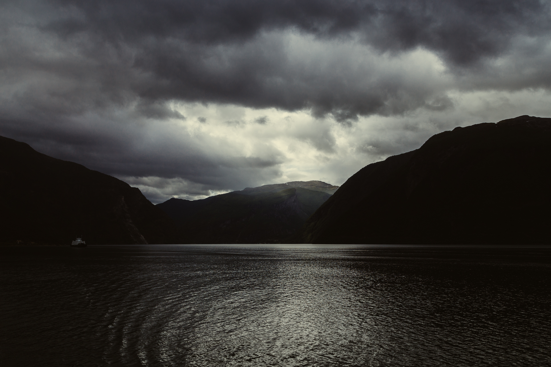
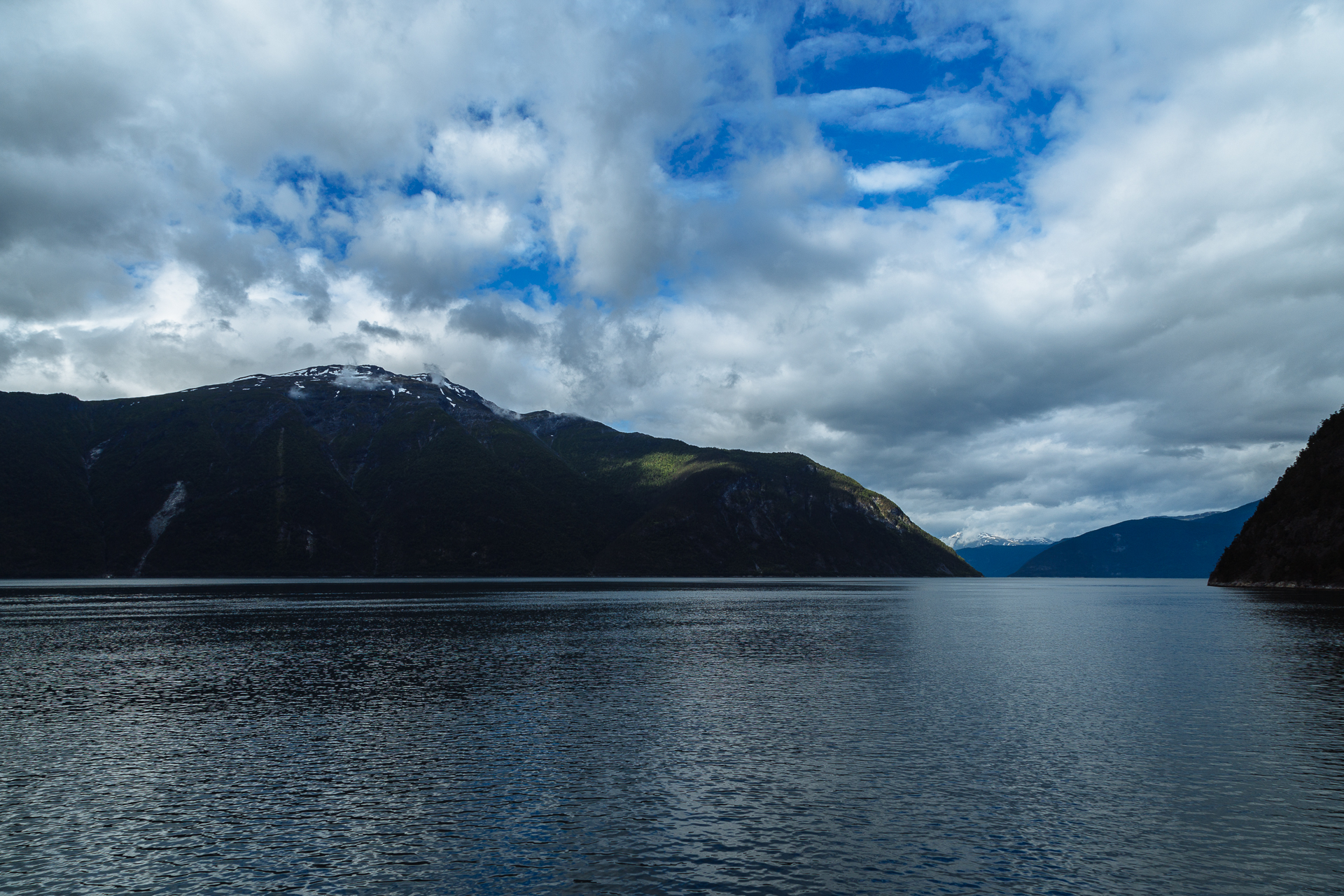
This morning we left the camping in Lærdalsøyri around 9:30, and started driving towards Ålesund. After a few kilometres we took our first small ferry across the Sognefjorden, where we enjoyed the last patches of blue sky before the clouds closed up above us.

20170702_Roadtrip-1

20170702_Roadtrip-2

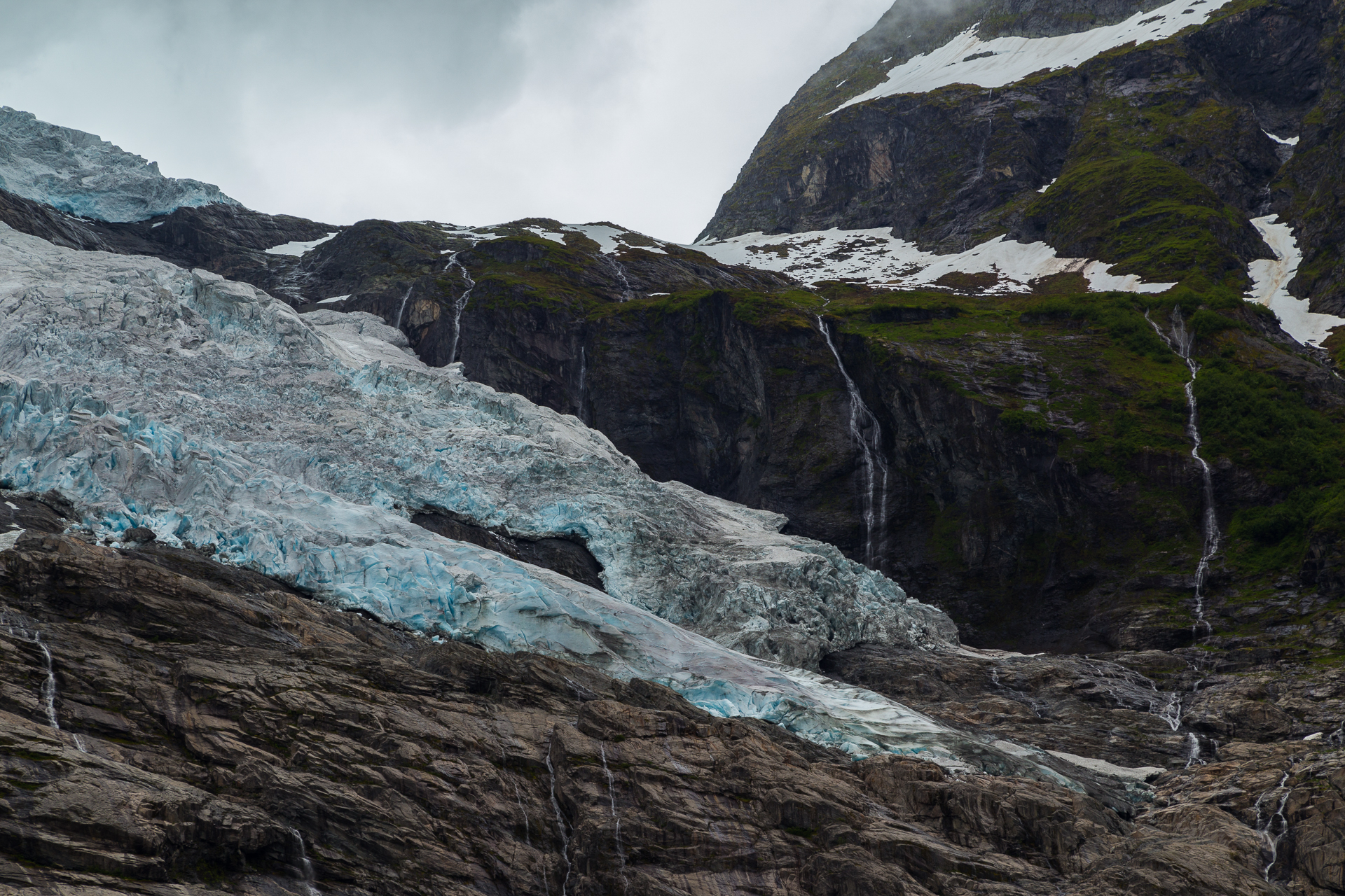
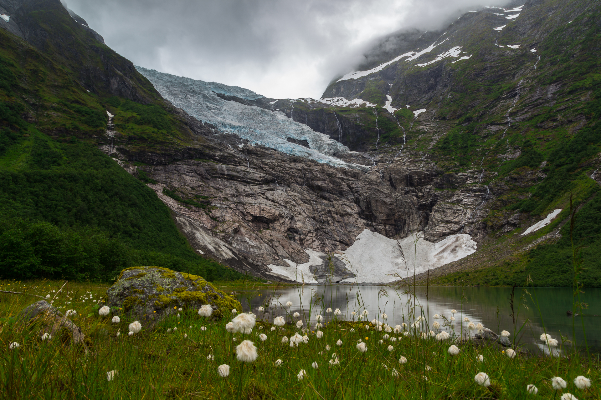
Our first stop coincided with a drier period, so we could actually get out of the car and enjoy the view towards the Bøyabreen branch of the Jostedalsbreen glacier, which by the way is the largest glacier in continental Europe. (Clio was extremely patient while I spent hours trying to take the perfect picture – but it is very difficult when a Chinese woman in flashy colours is standing in the middle of the scenery, taking crappy photos for ages.)

20170702_Roadtrip-3

20170702_Roadtrip-4

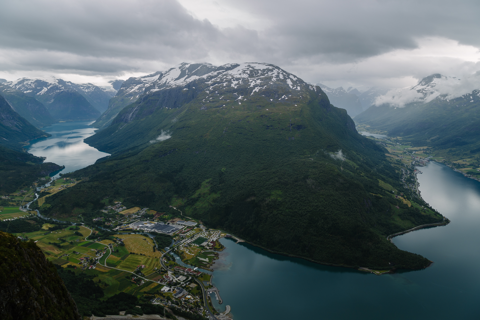
The next stop was in Loen, where we took the brand new Skylift up to 1011 metres above sea level. Up there we had a few dry minutes to enjoy the view of the fjords, lakes, and valleys from the terrace (which was definitely the best we have seen in Norway so far, I just wish I had a wider angle lens with me…), then we took shelter in the panorama restaurant a floor below. The seating was great, the burgers not so amazing.

20170702_Roadtrip-5

We drove through beautiful valleys during the day, for example the stretch of E39 between Klakegg and Byrkjelo, or the whole area around the Eastern end of the Innvikfjorden near Loen were exceptionally scenic. Supposedly the last stretches of the E39 leading up to the ferry that took us almost literally to the reception of the Sunde Fjord Hotel in Solavågen were also similar, but by then it was too rainy and foggy to see most of it. We hope that tomorrow there will be some dry periods too, otherwise we will spend the day in the Aquarium.

Odometer reading at the end of the day: 2412 km (of which 274 km was today).
Road trip Scandinavia: Day 7 (Sognefjorden, Aurlandsfjellet route, and the Borgund stave church)

Today we left our great AirBnB apartment around 09:00, and started driving Northeast from Bergen. The weather was still quite warm all day long (around 20°C), and while it stayed dry, we rarely saw the sun or the blue colour of the sky. Our first stop was at the Tvindefossen, which was pretty, but after all the huge waterfalls two days ago, we are not so easily impressed anymore in this category. Later on we left the E16 for a short while to drive down through the thirteen hairpin corners of the steepest road of North Europe, the Stalheimskleiva. It is 1.7 km long with a 20% gradient (and so narrow that it was turned into a one way road not long ago), and the views from it towards the valley below are quite amazing.

20170701_Roadtrip-1

Afterwards we made three stops at different endpoints of the Sognefjorden (one of the largest fjords in the world): at Gudvangen (for a hot dog), in Undredal (for very pretty views in a small and quite town, that is skipped by most people so it is still mostly untouched by tourism), and Flåm (to get a nice pastry and then run away from the Chinese and American tourists). The original plan was to take the Flåmsbana train here, but Clio told me the day before that she would not really want to do it (maybe the years of commuting to Brussels have taken their toll on her), and since I have already done it once in my life, I did not mind not doing it again at all. At least I had more time to stop for pictures along the road later on.

20170701_Roadtrip-2

20170701_Roadtrip-3

From here we drove on to the Aurlandsfjellet National Tourist Route. The first section of the road that climbs up to the Stegastein lookout point is only one lane wide, so there were many occasions where I had to reverse back a few metres into a broadening to let the oncoming traffic pass. They said that the Stalheimskleiva is not for novice drivers, but this road was much more demanding. The views from the lookout platform over the fjord and the mountains were magnificent.

20170701_Roadtrip-4

20170701_Roadtrip-5

From here the road continued to climb up until 1306 metres above sea (or fjord) level, leaving the tree line behind and entering a barren, rock and snow covered plateau. It was beautiful, I think I must have stopped at least ten times to take pictures of the changing landscape.

20170701_Roadtrip-6

20170701_Roadtrip-7

20170701_Roadtrip-8

20170701_Roadtrip-9

While this section of the road was wide enough for two way traffic, the descent towards Lærdal was narrow again. We arrived to the Lærdal Ferie- og Fritidspark around 16:30, where we have a small apartment for the night. After an early dinner in the restaurant of the camping, we decided to still drive to the Borgund stave church, because the weather forecast for tomorrow was not looking so good. This way we could also save some time, because Borgund is actually not along the main route that we will have to follow. The church (actually, churches) was (were) nice, and thanks to the late hour, very quiet.

20170701_Roadtrip-10

20170701_Roadtrip-11

On the way back we took the old (historic) road that follows the steep walled valleys (popular fly fishing spots), instead of driving through the tunnels that cut through them. Tomorrow is going to be a long day of driving to the North.

Odometer reading at the end of the day: 2138 km (of which 300 km was today).